
What Princeton Township was, in brief
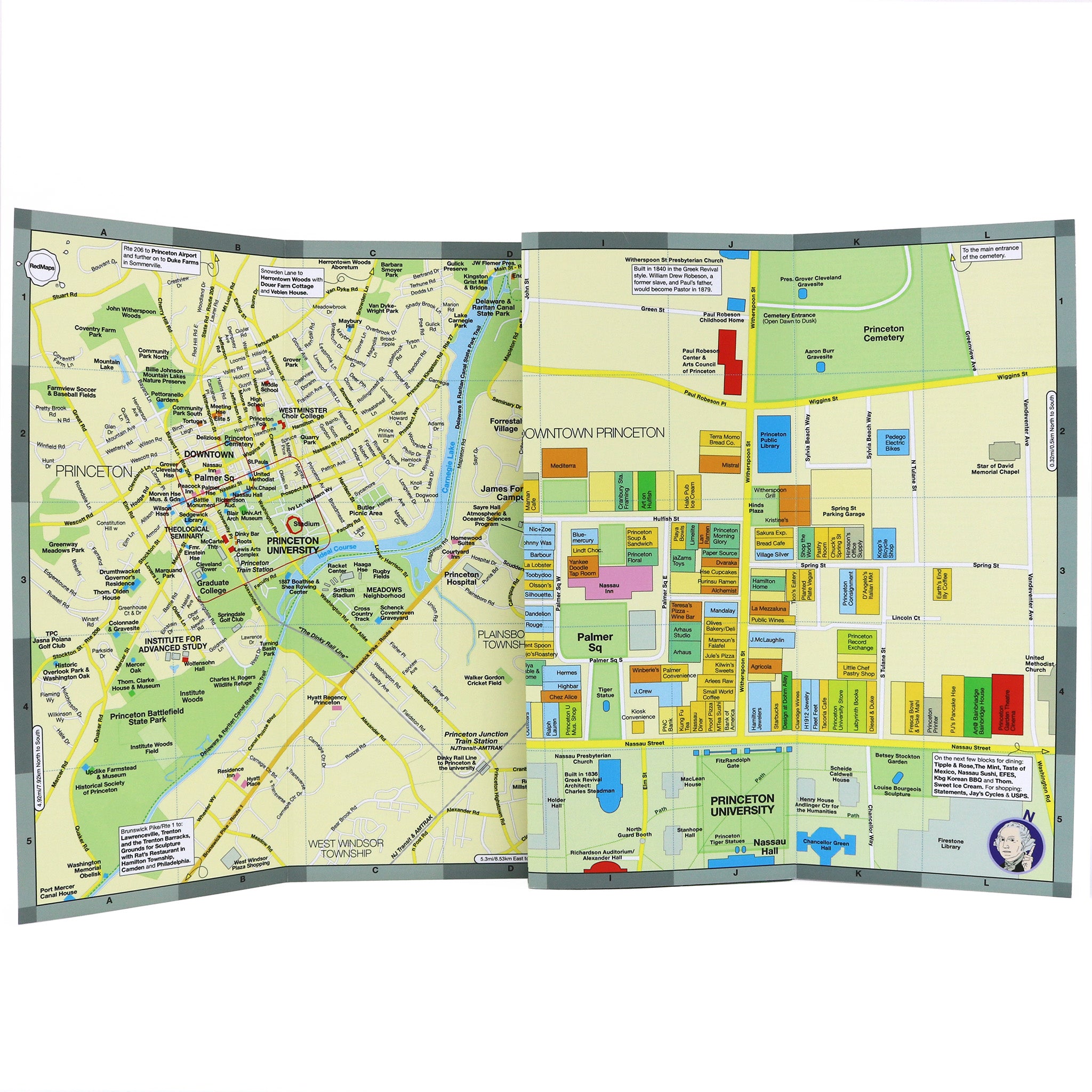
Princeton Township surrounded the smaller Borough of Princeton on three sides, the two sharing a school district and a downtown while running separate governments for well over a century. If you’re searching this exact phrase, you likely fall into one of four groups: you found the name on an old document and want to know what it maps to now; you’re researching family or property history and the records are filed under “Township”; you’re double-checking whether it’s still a functioning place before mailing something or citing it; or you’re simply curious about the merger and the two-town system that preceded it. The sections below are ordered so each group can stop reading once they hit their answer.
Is Princeton Township still a real place?No. It was dissolved on December 31, 2012, and its territory, government, and population are now part of the single municipality of Princeton.
Princeton Township, Princeton Borough, and Princeton today – how they compare
| Entity | Years it existed | Population (2010) | Government form | A defining institution located there |
|---|---|---|---|---|
| Princeton Township | 1838 to Dec. 31, 2012 | ~16,000 | Township Committee | Institute for Advanced Study |
| Borough of Princeton | 1894 to Dec. 31, 2012 | ~12,000 | Borough council | Most of Princeton University’s central campus buildings |
| Princeton (merged) | Jan. 1, 2013 to present | 28,572 combined at merger; 30,681 in 2020 | Borough form, mayor and six-member council | Both of the above, under one government |
Sources: population and area figures, NJ Spotlight News; 2020 population, U.S. Census Bureau QuickFacts.
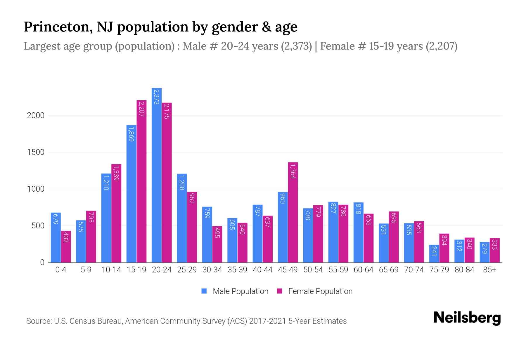
The combined population grew faster after the merger than in either former municipality’s last decade alone, and separate reporting on Princeton’s post-2020 demographics attributes most of that growth to Princeton University’s enrollment expansion and to residents over 65, not to the consolidation itself (WalkableTownship analysis).
What’s the difference between Princeton Township and Princeton Borough?The borough was the smaller, denser center that held most of the university’s campus and downtown; the township was the larger surrounding area, shaped like a donut around the borough, that held the Institute for Advanced Study and most residential land. Both were dissolved into one government in 2013.
Why two towns existed side by side, and why they merged in 2013
Princeton Township’s territory traces to 1838, when the New Jersey Legislature created Mercer County and carved the area’s land out of Montgomery Township in what was then Somerset County (New Jersey State Archives). The Borough of Princeton split off as its own municipality later in the 19th century, ending up completely surrounded by the township, an arrangement people in both towns still describe as a donut, with the borough as the hole (NJ Spotlight News).
Merger attempts date to the 1950s and failed three times before voters finally approved consolidation on November 8, 2011. Certified results from the towns’ own Joint Consolidation Study Commission show the borough passing the measure 1,397 to 891 (61.06%) and the township passing it 3,870 to 665 (85.34%) (Consolidation and Shared Services Study Commission). Contemporaneous news coverage described the same result in rounder terms: about 3-to-2 in the borough and more than 5-to-1 in the township, and noted this was the first New Jersey municipal merger since two small Warren County towns combined in 1997 (CBS New York).
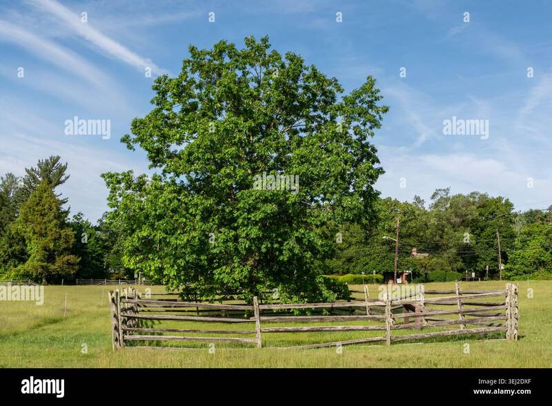
The Mercer Oak, a roughly 300-year-old white oak in Princeton Battlefield State Park, was the township’s official symbol. It fell in a windstorm on March 3, 2000, and a sapling grown from a 1981 acorn of the original tree was planted on the same spot the following year (Historical Marker Database; American Battlefield Trust).
On the ground, the merger meant one police department instead of two, with sworn officers dropping from 60 to 54 as duplicate positions were eliminated, and total municipal staffing falling from 267 employees to 250 (NJ Spotlight News; NJ Monthly). The first post-merger municipal budget cut the tax rate by 1.7 cents per $100 of assessed value, worth about $126 a year for the average homeowner (NJ Monthly).
Did the merger save money?The original $3.2 million figure was a disputed 2011 estimate. Municipal records cited by NJ Spotlight in 2018 put actual gross annual savings at $3.9 million, and the tax impact of the first post-merger budget was about $126 a year for the average homeowner.
Where “Princeton Township” still appears today
| Legacy reference | Where you’ll see it | What it maps to now |
|---|---|---|
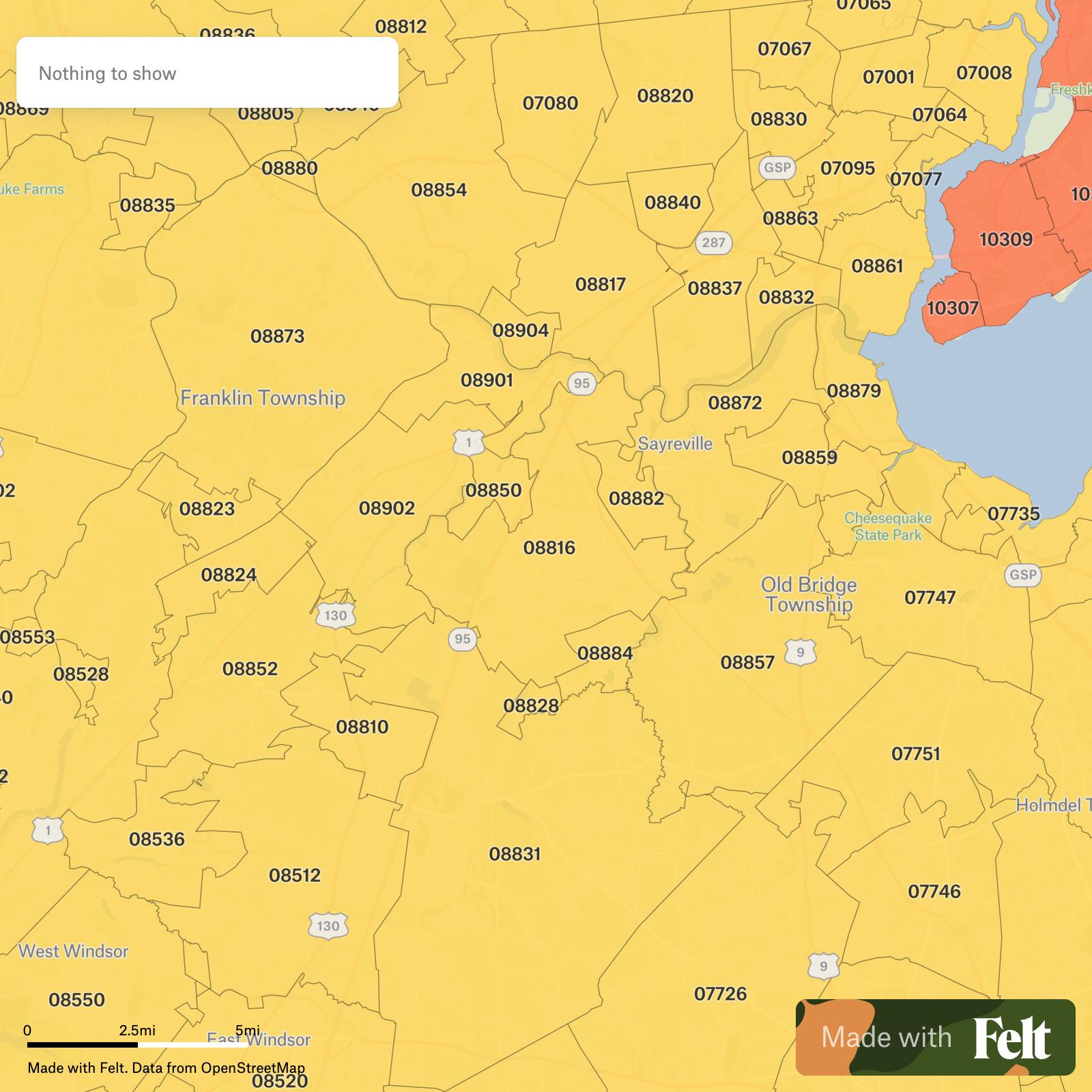
| ZIP codes 08540 and 08544 | Old township addresses, university mail | Still active Princeton ZIP codes; 08542 now covers most of the former borough core |
| “Princeton Township” on pre-2013 deeds and mortgages | Property records filed before Jan. 1, 2013 | Recorded under the Mercer County Clerk’s land records, indexed continuously from 1838 |
| Township Municipal Court references | Old traffic tickets, older legal correspondence | One Princeton Municipal Court at 400 Witherspoon Street, the former township’s own municipal building |
| “Princeton Regional Schools” and township school board minutes | Pre-merger report cards, old PTA records | Princeton Public Schools, the successor regional district |
| Township seal (Mercer Oak imagery) | Old letterhead, plaques, historical markers | Retired; Mercer County’s seal still uses the Mercer Oak image |
Sources: ZIP codes, ZipCodesToGo; court address, Princeton, NJ; land records, Mercer County Clerk.
Why does my old document say Princeton Township?Any deed, tax bill, court record, or school document dated before January 1, 2013 was issued by the township government, which no longer exists. The underlying property, address, or case is now under the single municipality of Princeton, but the document itself is a legitimate historical record, not an error to correct.
What ZIP codes cover the former Princeton Township?08540 and 08544 fall mostly within the former township’s footprint; 08542 corresponds largely to the former borough core.
Looking up old Princeton Township records
Property records, including deeds, mortgages, and subdivision maps, filed before 2013 are held at the Mercer County Clerk’s office, which has indexed Mercer County land records continuously since the county’s 1838 formation and keeps its records room open weekdays from 8:30 a.m. to 4:30 p.m. (Mercer County Clerk). For pre-1900 clerk’s and surrogate’s material, the New Jersey State Archives holds microfilmed copies for in-person research (NJ State Library genealogy guide). For newspapers, photographs, and manuscripts specific to the township, the Historical Society of Princeton has digitized the local Town Topics newspaper back to 1946 alongside its broader photo and manuscript archive (Historical Society of Princeton), and the Princeton Public Library’s Princeton Room holds a dedicated local-history collection covering both former municipalities, including zoning and street maps predating the merger (Princeton Public Library).
Geography and what’s in the former township
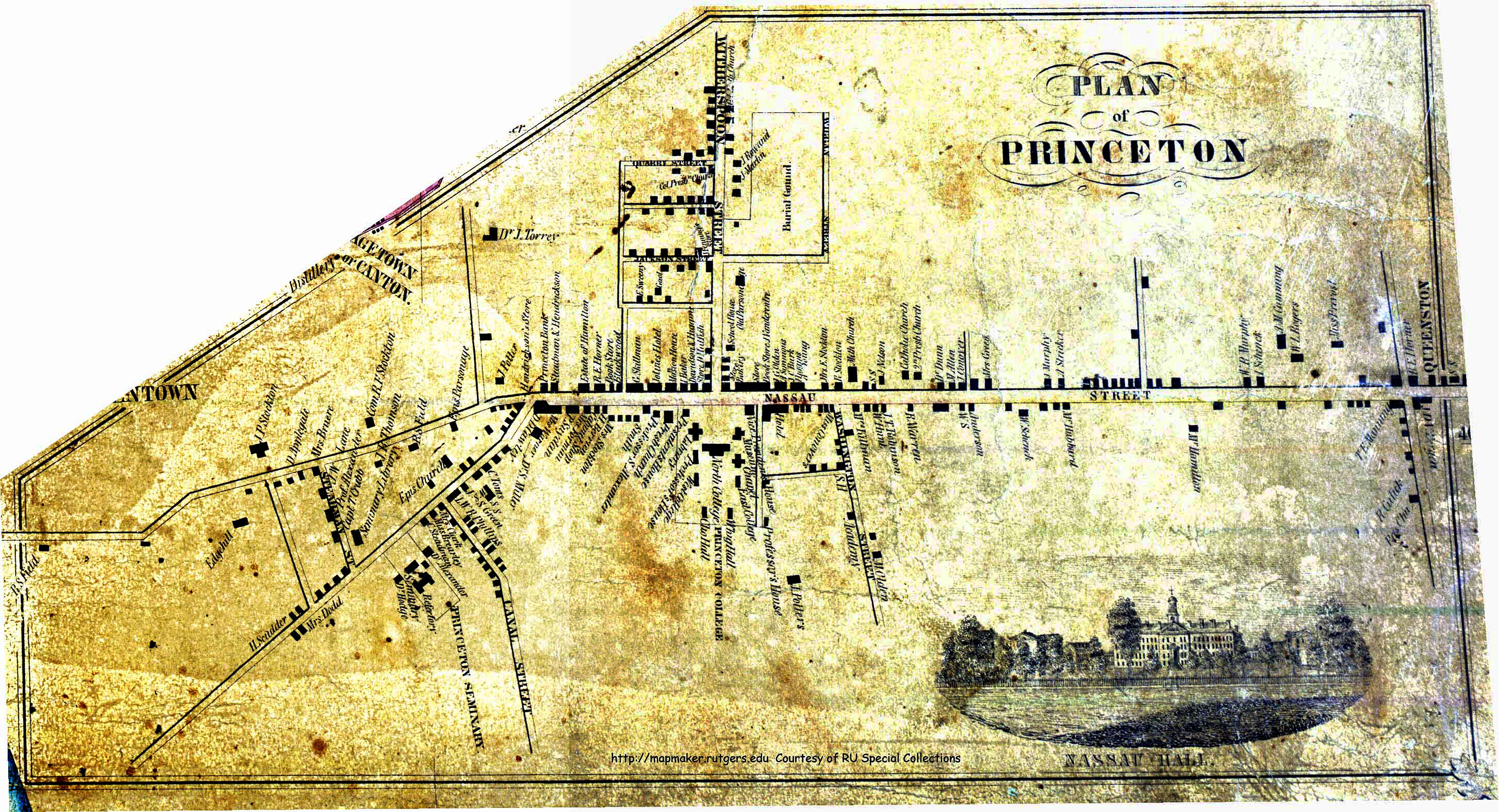
The former township’s land wrapped around the borough on three sides and included the Institute for Advanced Study, most of Princeton University’s athletic facilities, and Drumthwacket, the governor of New Jersey’s official residence. It’s roughly 15 of the 18 square miles that make up today’s Princeton.
Comments