
Where Putnam County Is and What Borders It
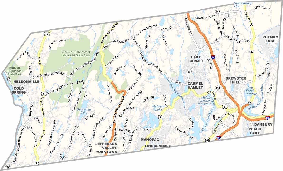
Putnam was carved out of Dutchess County in 1812 and named for Revolutionary War general Israel Putnam (NY.gov county profile). It borders Dutchess County to the north, Fairfield County, Connecticut, to the east, Westchester County to the south, and the Hudson River to the west, with a small Orange County border across the river. The terrain belongs to the Hudson Highlands, a hilly, forested section of the Appalachian range.
The reason so much of that terrain stayed forested is largely bureaucratic. The county falls partly within New York City’s East of Hudson watershed, the system that has historically supplied about 12% of the city’s drinking water, with the rest coming from the Catskill and Delaware systems west of the Hudson (Catskill Watershed Corporation). Two reservoirs in that system, Boyd Corners and Middle Branch, sit inside Putnam County itself and have been in continuous service since 1873 and 1878 (National Academies Press review of the NYC Watershed Protection Program). Land around a working reservoir generally cannot be built up the way land elsewhere in the metro area can. The same proximity to Manhattan that filled in much of Westchester left large stretches of Putnam standing as forest and reservoir buffer instead.
Is Putnam County part of New York City’s metro area? Yes. It’s classified within the New York-Newark-Jersey City metropolitan statistical area, though watershed land-use rules and hilly terrain have kept it far less built up than Westchester or Rockland.
Putnam’s total land area is about 230.3 square miles, giving a population density of roughly 427 people per square mile (Census Reporter, ACS 2024 1-year). That figure, not the watershed rule itself, is the plain number worth remembering: it’s a fraction of the density in neighboring Westchester despite a similar drive time to Manhattan.
Population and Who Lives There
Reconciling the two population vintages above: the Population Estimates Program’s ~99,000 figure and the American Community Survey’s 98,409 both come from the Census Bureau, but PEP updates annually using birth, death, and migration records, while the ACS is a rolling household sample survey carrying its own margin of error. Small differences between the two are routine and don’t mean the county is growing or shrinking faster than either source implies.
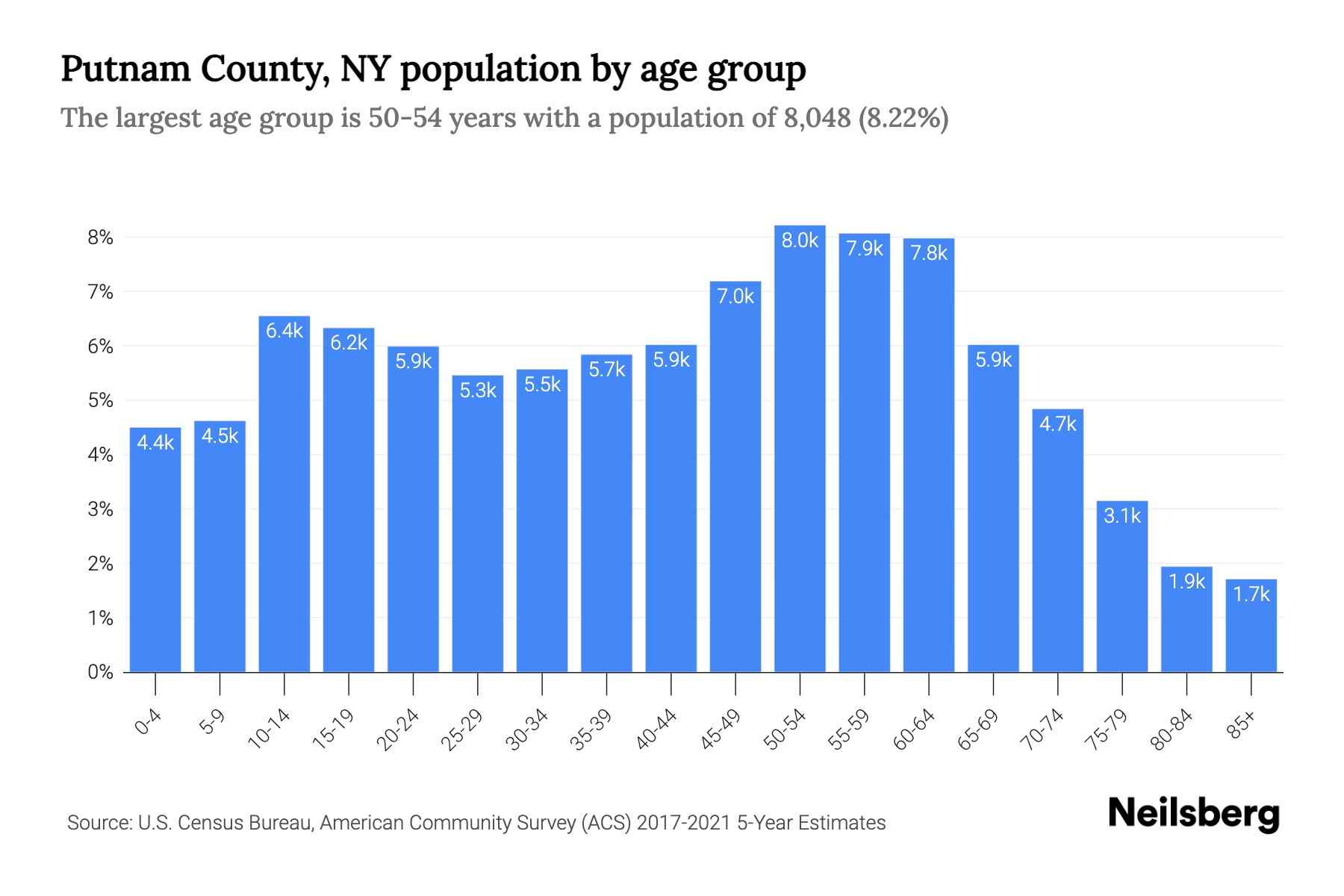
Putnam skews older and whiter than the state as a whole. About 20.3% of residents are 65 or older, compared with 18.9% statewide and 18% nationally, while residents under 18 make up 19.1% of the county, below both the state (20.1%) and national (21.6%) shares. Non-Hispanic white residents are 70.5% of the population, well above the 57.5% national share, while the Hispanic share, 21.9%, runs slightly above the national figure of 20% (USAFacts, 2024 estimates). Median household income is $121,485 and per-capita income is $60,025, both roughly 1.3 to 1.4 times the New York State figures (Census Reporter, ACS 2024 1-year), and 7.1% of residents live below the poverty line, about half the state rate (Data USA).
Every competitor either lists town populations without villages, or villages without towns. Here’s both, in one place:
| Town or village | Type | Population | Character note |
|---|---|---|---|
| Carmel | Town | ~34,000 (2024) | County seat; largest town, no incorporated village of its own |
| Southeast | Town | 18,058 (2020 Census) | Contains the village of Brewster |
| Kent | Town | 12,861 (2024) | Home to Chuang Yen Monastery |
| Putnam Valley | Town | 11,744 (2024) | No Metro-North station in town |
| Patterson | Town | 11,591 (2024) | Northernmost town, own Harlem Line station |
| Philipstown | Town | 9,819 (2020 Census) | Contains Cold Spring and Nelsonville |
| Brewster | Village (in Southeast) | 2,504 (2024) | County’s main Harlem Line hub |
| Cold Spring | Village (in Philipstown) | 1,995 (2024) | Antique-shopping district, Hudson Line station |
| Nelsonville | Village (in Philipstown) | 631 (2024) | Smallest incorporated village |
Sources: town and village figures from USAFacts; Southeast’s 2020 count from the decennial Census; Philipstown’s 2020 count via World Population Review’s Census-sourced profile. Carmel and Southeast, not any of the named villages, hold most of the county’s population; Brewster and Cold Spring are small incorporated centers inside much larger towns.
What county seat serves Putnam County? Carmel, the county’s largest town by population, houses the county courthouse and executive offices.
Getting To and From Putnam County
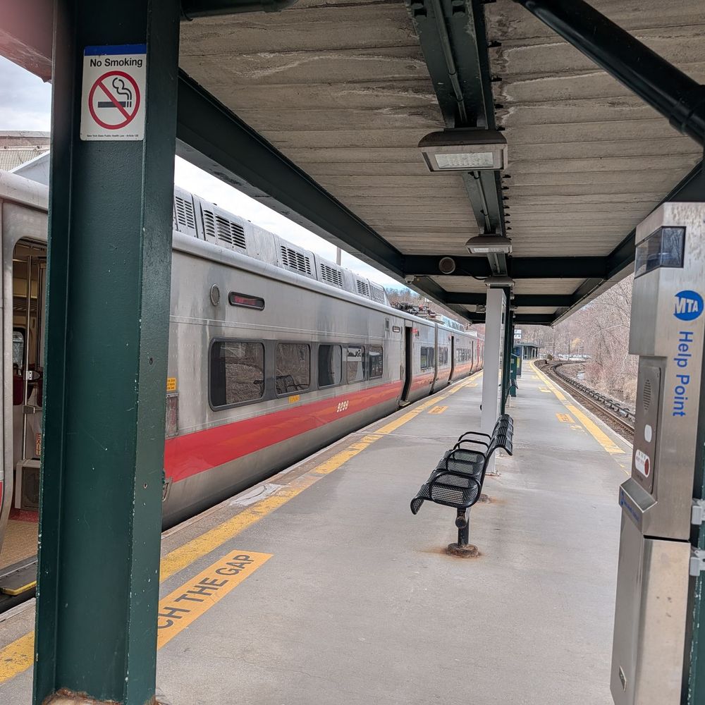
Three of the six towns, Carmel, Kent, and Putnam Valley, have no Metro-North station within their borders; residents drive to a station in a neighboring town. Southeast, Patterson, and Philipstown each have direct service.
| Town | Rail line | Nearest station | Approx. time to Grand Central |
|---|---|---|---|
| Philipstown | Hudson | Cold Spring or Garrison | 75 to 90 minutes |
| Southeast | Harlem | Brewster or Southeast | 80 to 90 minutes |
| Patterson | Harlem | Patterson | 90 to 105 minutes |
| Carmel, Kent, Putnam Valley | – | Nearest is Brewster, Croton Falls, or Cold Spring | Add 10 to 20 minutes’ drive before boarding |
Sources: MTA Hudson Line schedule and MTA Harlem Line schedule, cross-checked against aggregated timetable data showing the Cold Spring run averaging about 87 minutes and the Brewster run averaging 82 to 90 minutes (Rome2Rio). One-way Metro-North fares from these stations run $14 to $22 depending on peak or off-peak timing (Rome2Rio fare data).
There is no commercial airport in Putnam County. The nearest options are Westchester County Airport and Danbury Municipal Airport, both roughly a 30-to-45-minute drive from most of the county.
How far is Putnam County from Manhattan? It depends on the town: Southeast and Philipstown residents can reach Grand Central directly in 75 to 90 minutes by rail; Carmel, Kent, and Putnam Valley residents add a 10-to-20-minute drive to reach a station first.
Does Putnam County have an airport? No. The closest are Westchester County Airport and Danbury Municipal Airport in Connecticut, both roughly half an hour away by car.
Government and Who to Contact
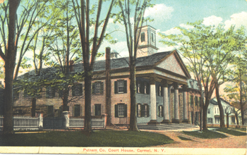
Putnam is governed by an elected County Executive and a nine-member County Legislature, with links to every town and village government maintained on the state’s own county profile (NY.gov). Politically, the county leans Republican in federal races: in the 2024 presidential election, Trump/Vance carried Putnam County 56.6% to 42.4% for Harris/Walz, a wider Republican margin than the statewide result ran the opposite direction (Highlands Current, reporting official county tallies).
What Putnam County Is Known For
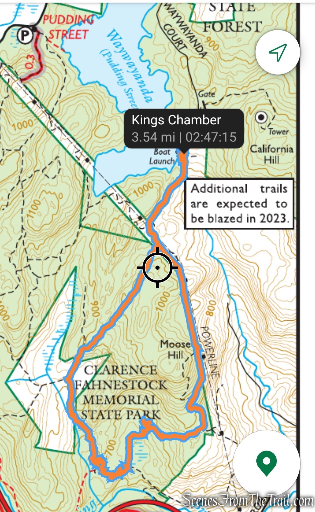
Most write-ups of Putnam stop at two or three named sites. A fuller list: Clarence Fahnestock State Park, roughly 14,000 to 15,000 acres with more than 50 miles of trail including about 9 miles of the Appalachian Trail, established in 1929 as a memorial gift from Dr. Ernest Fahnestock (NY State Parks); Chuang Yen Monastery in Kent, home to the largest indoor Buddha statue in the Western Hemisphere on 225 acres (the Buddhist Association of the United States, which operates the monastery); Hudson Highlands State Park, which includes the Breakneck Ridge trail; the Manitoga/Russel Wright Design Center in Garrison; and Cold Spring’s antique-shopping district along Main Street.
Is Putnam County a good place to visit for a day trip? For a hiking- or history-focused trip, yes: Cold Spring and Garrison are both direct Metro-North stops from Grand Central, putting the Hudson Highlands trails and Cold Spring’s shops within a single-day round trip without a car.
Comments