
Where Murray Hill Actually Starts and Ends
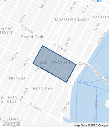
| Authority | South | North | West | East |
|---|---|---|---|---|
| NYC Landmarks Preservation Commission | 34th St | 40th St | Fifth Ave | Third Ave |
| NYC Dept. of City Planning | 34th St | 40th St | Madison Ave | Second Ave |
| Manhattan Community Board 6 | 34th St | 40th St | Madison Ave | East River |
| The New York Times (common usage) | 34th St | 42nd St | Madison Ave | East River |
| Murray Hill Neighborhood Association (ZIP 10016) | 27th St | 40th St | Fifth Ave | East River |
Each definition is documented on Wikipedia’s Murray Hill entry, which cites the LPC, DCP, and Community Board 6 filings directly. The spread matters practically: the Neighborhood Association’s ZIP-based version pulls in Curry Hill (Little India) and part of what’s separately marketed as NoMad, while Community Board 6 explicitly excludes Tudor City, whose chairman called it “its own neighborhood” in 2021. A listing marketed as “Murray Hill” two blocks north of 40th Street is using the loosest of the five definitions, not lying outright.
Is Kips Bay part of Murray Hill? No official definition places Kips Bay inside Murray Hill; every authority above stops at the East River as an eastern edge or, in the tightest version, at Third Avenue. Kips Bay is a separate, adjacent neighborhood.
Why the Blocks Look Like This: the 1847 Restriction
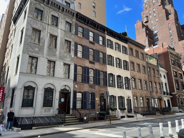
The tree-lined, low-rise character of the side streets between Park and Lexington isn’t zoning-code luck. Starting in the 1840s, descendants of the Murray family sold off parcels of the old farm under a deed covenant formally registered in 1847 as the Murray Hill Restriction, permitting nothing but a “brick or stone dwelling” and banning commercial use outright, according to the Murray Hill Neighborhood Association’s history page. That covenant is why the historic core still reads as residential despite sitting inside Midtown: it pre-dates modern zoning by nearly a century and set the pattern the city later formalized.
Park Avenue itself only exists in its current landscaped form because the railroad trench along Fourth Avenue was covered over in 1851 and replanted with the mall still visible today.
Rent by Unit Size (July 2026)
| Unit type | Average rent | Year-over-year change |
|---|---|---|
| Studio | $3,925 | up 9.31% from $3,591 |
| 1-bedroom | $4,900 | up 6.49% from $4,601 |
| 2-bedroom | $8,028 | up 28.34% from $6,255 |
| Median, all active listings | $4,808 (~$90/sq ft) | – |
Source: RentHop’s Murray Hill market report, updated for July 2026. The two-bedroom jump is the sharpest of any size class this year, a bigger year-over-year move than either the studio or one-bedroom tiers.
Getting Around
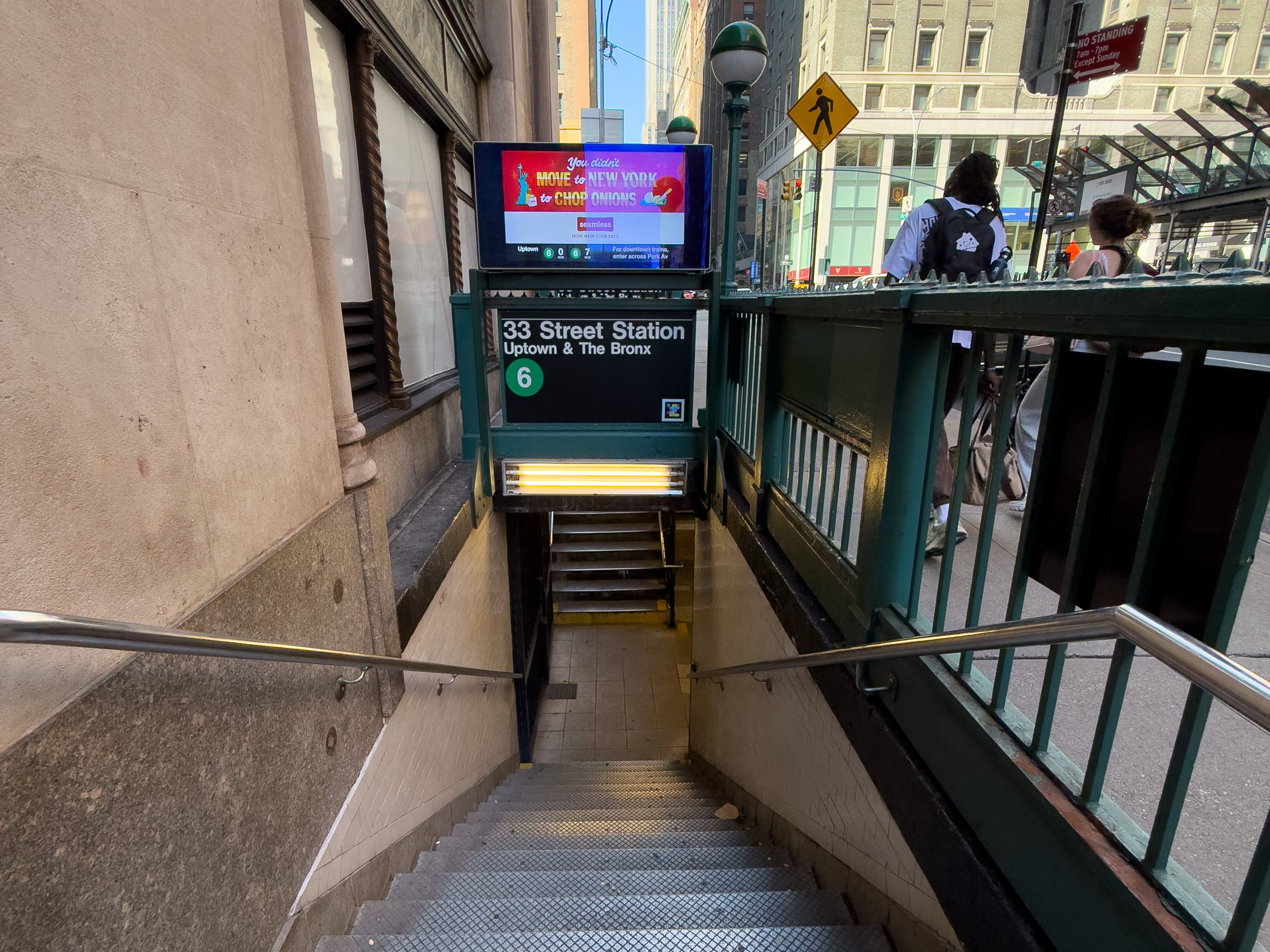
Grand Central Terminal sits at the neighborhood’s northwest corner, putting the 4, 5, 6, and 7 subway lines and Metro-North within walking distance of most of Murray Hill. The Second Avenue bus runs the length of the east side, and the East 34th Street Ferry Landing adds a river route to Brooklyn and Queens in warmer months.
Do I need a car in Murray Hill? Almost never for daily life. Grand Central alone connects to four subway lines plus Metro-North, and most of the neighborhood’s spine is walkable in about 15 minutes end to end.
The Historic District, Block by Block
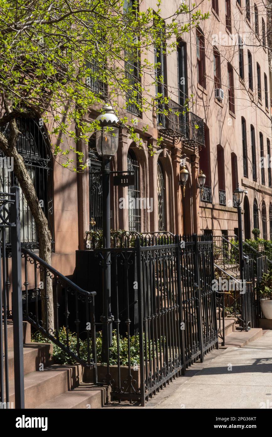
The Murray Hill Historic District was calendared for consideration on July 31, 2001, given a public hearing on October 23, 2001, and formally designated on January 29, 2002 (LP-2102), per the NYC Landmarks Preservation Commission’s district report. The original district covers 71 rowhouses, three apartment buildings, a church, and an architectural office across two non-contiguous stretches; an extension covering 12 more buildings built between 1863 and 1955 followed on March 30, 2004 (LP-2140), and the district joined the National Register of Historic Places in 2003, with that listing expanded in 2013.
Individually landmarked buildings outside the district boundary include 2 Park Avenue, 275 Madison Avenue, the Daily News Building, the Madison-Belmont Building, and the Socony-Mobil Building.
Who Each Stretch of Murray Hill Suits
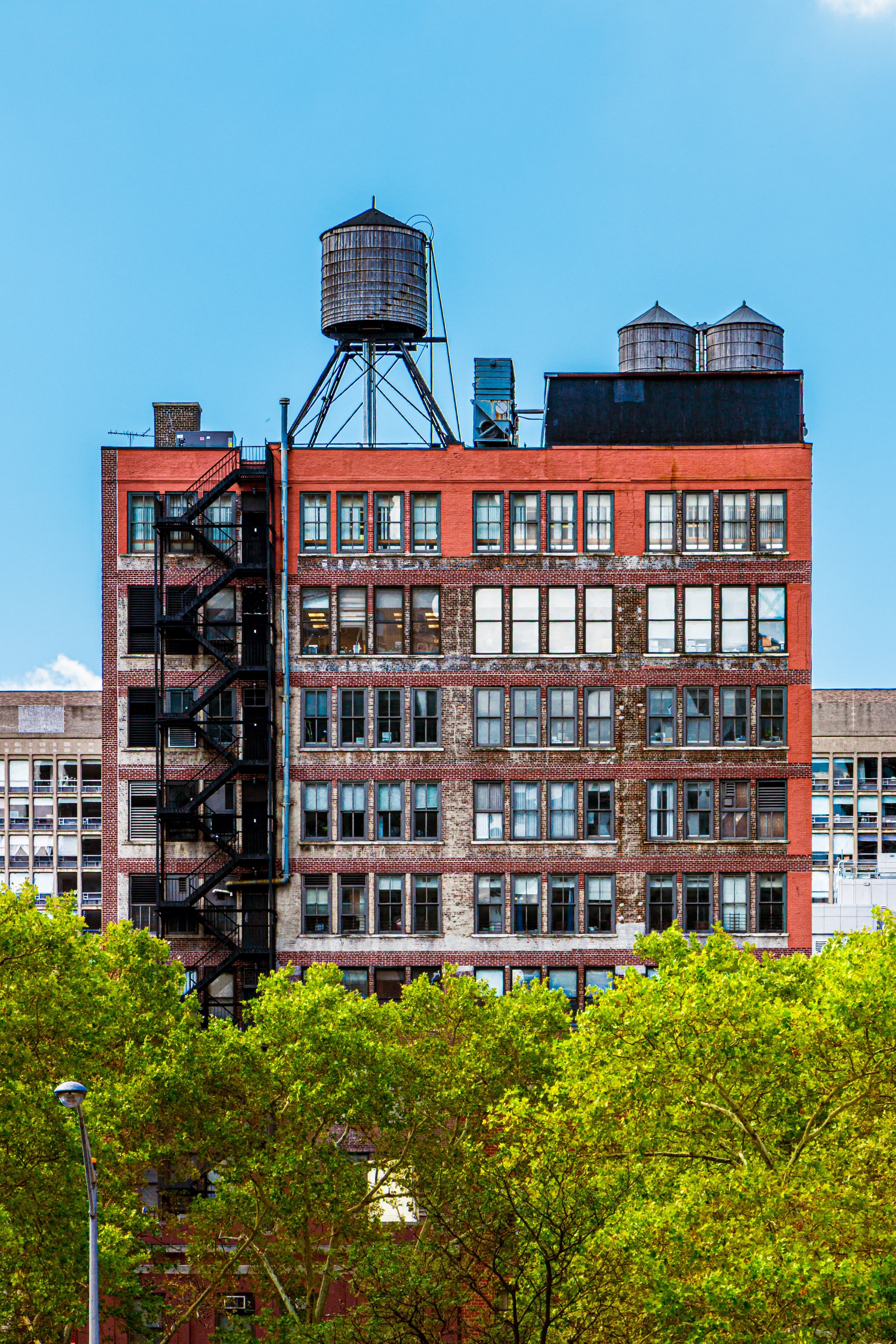
The neighborhood splits into three distinct experiences depending on the blocks. The upper 20s and lower 30s, sometimes counted as Murray Hill under the loosest definitions, carry the bar-and-restaurant density behind the “recent grad” reputation, fed partly by nearby Yeshiva University’s Beren campus, Berkeley College-New York, DeVry College of New York, and the CUNY Graduate Center. The historic core between 34th and 38th, Park to Lexington, is the quietest stretch: brownstone rowhouses, few street-level storefronts, a direct legacy of the 1847 covenant. The blocks east toward the river carry the UN-mission and consulate presence and the highest concentration of newer high-rise towers.
Housing stock reflects that split: 74% of Murray Hill units are renter-occupied against 26% owner-occupied, and 71% of apartments sit in buildings of 50 or more units, per RentCafe’s neighborhood profile.
Is Murray Hill good for families? It has family-friendly pockets, mainly the historic core with its lower noise and townhouse stock, but the housing mix skews heavily toward small rental units in large buildings, so families competing for 3-bedroom-plus space face a thin market.
Common Mistakes When Choosing a Building Here
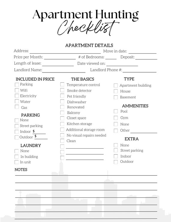
- Assuming “Murray Hill” on a listing means the historic core. It may mean anything from 27th Street to 42nd Street depending on which authority the broker is using.
- Comparing rent quotes across aggregators without checking the basket. A $600 gap between two “average rent” figures for the same month usually reflects different listing sets, not a sudden market shift.
- Judging block quietness by neighborhood name alone. A bar-heavy stretch in the lower 30s and a rowhouse block in the historic core can both carry a “Murray Hill” listing tag.
- Overlooking the covenant history when a block has no ground-floor retail. It’s a 19th-century deed restriction, not a current zoning quirk likely to change soon.
Comments