
Where Howard Beach Is: Four Sub-Areas, Not One

Howard Beach sits on the northern shore of Jamaica Bay in southwestern Queens, bounded roughly by the Belt Parkway, Cross Bay Boulevard, and Spring Creek Park. The neighborhood takes its name from William J. Howard, a glove manufacturer who developed it as a bathing resort in the 1890s; that origin story is the one fact nearly every source on this area repeats at length, so one sentence is enough here. What most guides rarely do is treat the four sub-areas as a selection tool instead of trivia.
Old Howard Beach
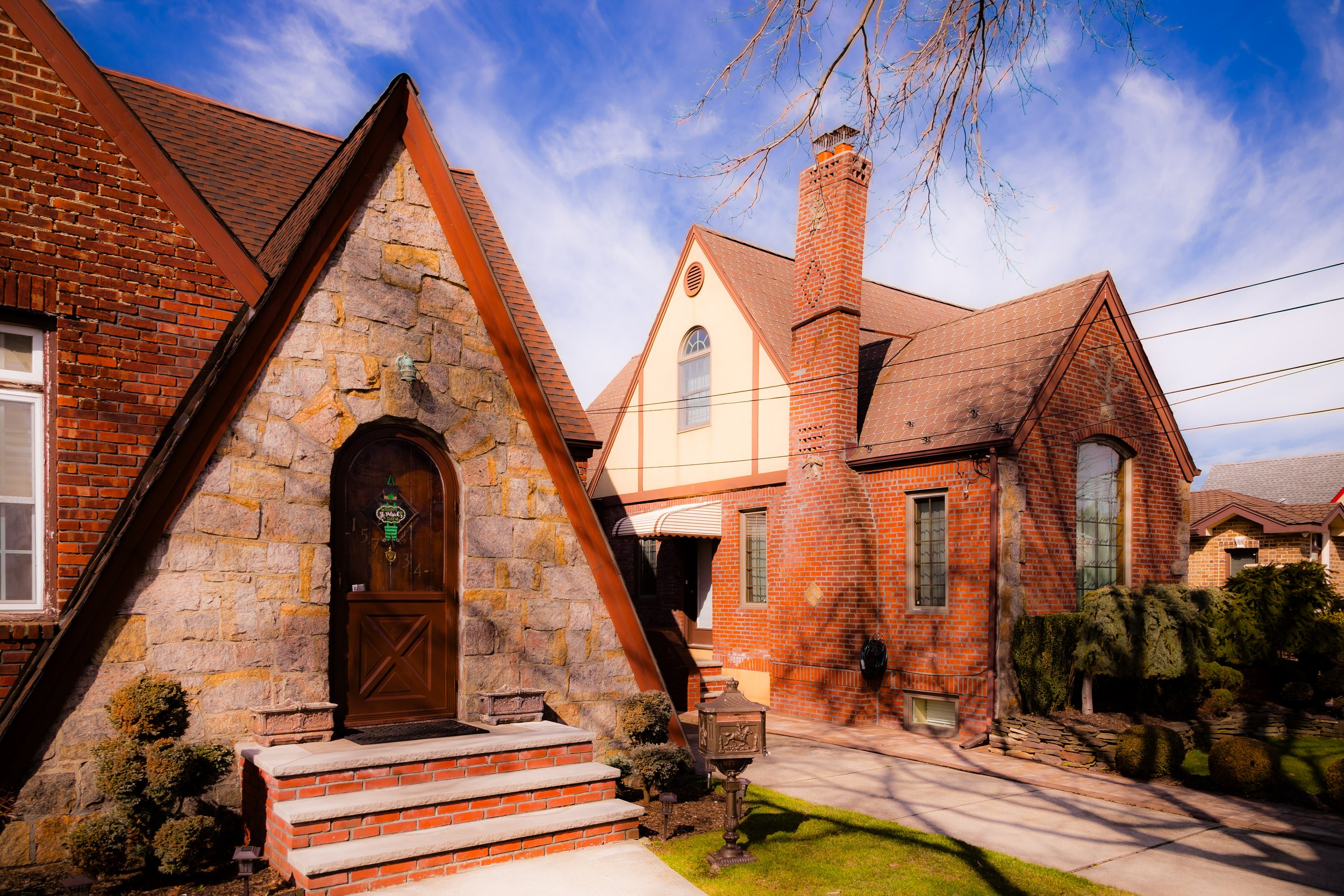
The original, densest section south of the Belt Parkway, closest to Cross Bay Boulevard’s commercial strip. Housing runs mostly attached and semi-attached two-family homes from the 1920s to 1950s. This is the section named directly in FEMA’s mapped hazard zone.
New Howard Beach and Lindenwood
Built up later, with more detached single-family colonials and split-levels. Part of Lindenwood, west of 84th Street, is inside the FEMA hazard zone; the rest of Lindenwood was mapped outside it.
Hamilton Beach
A small, low-lying waterfront pocket east of Old Howard Beach, historically working-class and bungalow-heavy. It carries the highest flood exposure of the four sub-areas and was named specifically in the Army Corps of Engineers’ Spring Creek South resiliency study as one of the study’s core vulnerable communities.
Rockwood Park
The inland, higher-ground section around P.S. 207, generally with the lowest flood exposure of the four.
| Sub-area | Typical housing | Flood exposure | Character notes |
|---|---|---|---|
| Old Howard Beach | Attached/semi-attached 2-family, 1920s to 1950s | Fully inside FEMA’s mapped hazard zone (south of Belt Pkwy) | Densest, closest to Cross Bay Blvd retail strip |
| New Howard Beach / Lindenwood | Detached colonials, split-levels | Partial: section west of 84th St in hazard zone, rest mapped outside | Newer construction, quieter side streets |
| Hamilton Beach | Bungalows, small waterfront homes | Highest of the four; named in the 2022 Army Corps vulnerability study | Small, insular, most exposed to Jamaica Bay |
| Rockwood Park | Detached single-family, mixed ages | Lowest of the four; includes the FEMA-exempt higher-elevation pocket | Inland, anchors P.S. 207 |
The table above shows a specific, checkable divide: flood exposure follows elevation and distance from the Belt Parkway more than it follows any single sub-area’s reputation, which means two homes a few blocks apart can carry very different insurance realities.
Is Howard Beach still associated with the 1986 case or organized crime today? The 1986 racial attack is a historical fact tied to specific convictions, not an ongoing description of the neighborhood; organized-crime associations are similarly a reputational holdover from decades of tabloid coverage rather than a documented present-day feature of the area. Neither changes what a prospective resident should evaluate: flood zone, school, and commute.
Flood Risk by Sub-Area: What FEMA’s Maps Show
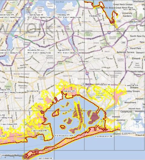
Hurricane Sandy’s 2012 storm surge is usually treated as history. It is not: FEMA’s post-Sandy advisory maps put most of Howard Beach inside a mapped flood hazard zone with a 1% annual chance of flooding to 10 to 11 feet above sea level across most of the neighborhood, per Queens Chronicle’s reporting on the advisory maps. The southern portion carries a 0.25% annual risk at 15 feet; north of 159th Avenue and in Lindenwood, that same lower-probability threshold sits at 12 feet. A six-block section between 97th and 99th Streets and 157th and 160th Avenues sits at higher elevation and was excluded from the hazard zone; it includes P.S. 146, which avoided severe damage during Sandy for that reason.
The federal government has treated this as an ongoing structural issue, not a one-time storm: the Army Corps of Engineers’ Spring Creek South study names Howard Beach, Old Howard Beach, Hamilton Beach, and Lindenwood specifically as the vulnerable communities it is studying for coastal resiliency work. What is unknown at the time of writing is whether FEMA’s final regulatory maps have since shifted any of these boundaries; anyone evaluating a specific address should confirm current zone status directly.
History: From Resort Development to the 1986 Attack

Beyond the Howard resort origin, the neighborhood grew through mid-century infrastructure projects tied to the Belt Parkway and Cross Bay corridor. The single fact that shaped Howard Beach’s national reputation more than any development milestone is the December 20, 1986 attack: a group of white teenagers chased three Black men who had stopped at a local pizzeria after their car broke down nearby, and one of them, Michael Griffith, died after being struck by a car while fleeing onto the Belt Parkway. Three defendants, Jon Lester, Scott Kern, and Jason Ladone, were convicted of manslaughter in 1987, with sentences of 10 to 30 years, 6 to 18 years, and 5 to 15 years respectively, according to the Equal Justice Initiative’s account of the case. The case triggered marches led by Rev. Al Sharpton and remains the reason Howard Beach is still cited in discussions of racially motivated violence in New York City, decades after the fact.
Getting Around: The A Train, AirTrain, and Real Bus Routes
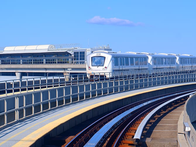
The Howard Beach–JFK Airport station serves the A train at all times and connects directly to the AirTrain, per the MTA’s own JFK transit guide. A scheduled A train from 59th Street–Columbus Circle to Howard Beach–JFK Airport runs about 51 minutes and departs roughly every 15 minutes throughout the day. The AirTrain connection from the subway station to airport terminals takes about 12 minutes on top of that.
| Mode | Route | Approx. time | Notes |
|---|---|---|---|
| Subway (A train) | 59th St–Columbus Circle to Howard Beach–JFK Airport | ~51 min | Runs roughly every 15 min |
| AirTrain | Howard Beach station to JFK terminals | ~12 min | Separate $8.75 fare on top of subway fare |
| LIRR + AirTrain | Penn Station via Jamaica to JFK | ~35 to 40 min to Jamaica, plus AirTrain | Faster but costs more than subway-only |
| Local bus | Various Q-series routes along Cross Bay Blvd | Varies by route | Feeds the A train station for non-waterfront blocks |
Is living under JFK’s flight path as bad as people say? It depends on which blocks: proximity to JFK is marketed uniformly as a convenience across real estate listings, but stretches of Old Howard Beach and Lindenwood sit under active approach and departure paths, where aircraft noise is a documented daily resident complaint rather than an occasional nuisance. No neighborhood-specific noise-monitoring dataset for these blocks was found during this research pass; anyone sensitive to it should visit at different times of day before committing.
Schools in Howard Beach
P.S./M.S. 207 Rockwood Park, the neighborhood’s main K–8 public school, carries a GreatSchools rating of 7 out of 10, according to GreatSchools data compiled by Homes.com. John Adams High School, the zoned public high school serving the area, carries a GreatSchools rating of 4 out of 10, per GreatSchools’ profile of the school. Families who want a screened alternative sometimes look toward Scholars’ Academy, a nearby selective public school, and the private St. Helen Catholic Academy for pre-K through eighth grade.
| School | Level | Rating (source) | Notes |
|---|---|---|---|
| P.S./M.S. 207 Rockwood Park | Pre-K–8 | 7/10 GreatSchools | Zoned elementary/middle school, Rockwood Park area |
| John Adams High School | 9–12 | 4/10 GreatSchools | Zoned high school; small learning communities offered |
| Scholars’ Academy | 6–12 | No independently verified rating found in this research pass | Selective admission, not zoned by address |
| St. Helen Catholic Academy | Pre-K–8 | Private, no GreatSchools rating | Parish-run alternative |
The 3-point gap between the elementary and high school ratings is worth naming plainly: families choosing Howard Beach for P.S. 207 should not assume the same rating carries through to the zoned high school.
Real Estate: Prices, Housing Stock, and Buying Considerations
Waterfront vs. Inland Pricing
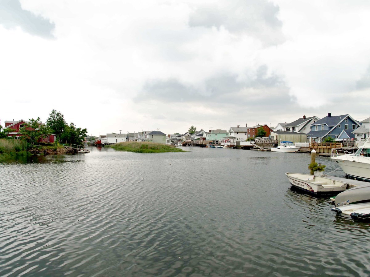
Waterfront and near-waterfront homes in Old Howard Beach and Hamilton Beach generally command a premium for water access, but that premium sits directly on top of the higher flood-zone designation described above: the same feature drives both the asking price and the insurance requirement.
Which sub-area should I look at if I want lower flood risk? Rockwood Park and the higher-elevation pocket near P.S. 146 in Old Howard Beach carry the lowest documented flood exposure of the four sub-areas; Hamilton Beach carries the highest.
Food, Shops, and Daily Life on Cross Bay Boulevard
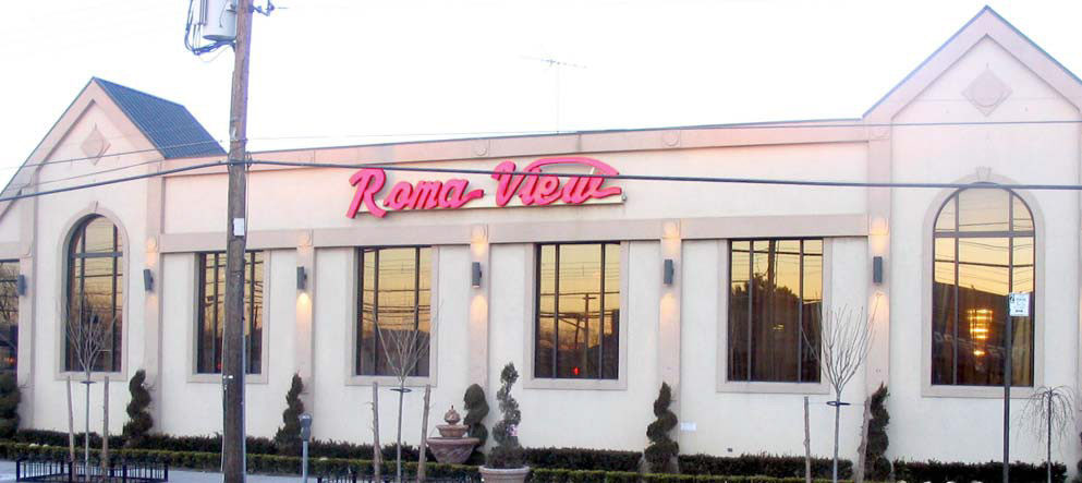
Cross Bay Boulevard is the neighborhood’s commercial spine, lined with Italian restaurants, pizzerias, and small shops that turn over slowly compared with much of Queens. Lenny’s Clam Bar, at 161-03 Cross Bay Boulevard, opened on January 11, 1974, and marked its 50th anniversary in January 2024; the city co-named a stretch of the boulevard “Lenny’s Clam Bar Way” that August, according to local coverage of the ceremony.
Who Lives Here: Demographics and Income
The broader South Ozone Park/Howard Beach neighborhood (NYC Community District 10) had an estimated 125,245 residents in 2024 and ranked 19th of the city’s 59 neighborhoods by median household income, per the NYU Furman Center’s neighborhood data profile. Real median gross rent in the district rose from $1,820 in 2006 to $2,090 in 2024, a 14.8% increase.
How reliable are the income figures you see for Howard Beach? Treat any single-number income claim skeptically unless it names its Census vintage and geography: ZIP 11414, the South Ozone Park/Howard Beach community district, and citywide figures all describe different, overlapping areas and will not match.
Comments