
Not the Song, the Sitcom Reference, or Any Fictional Town: Which Chagrin Falls This Is
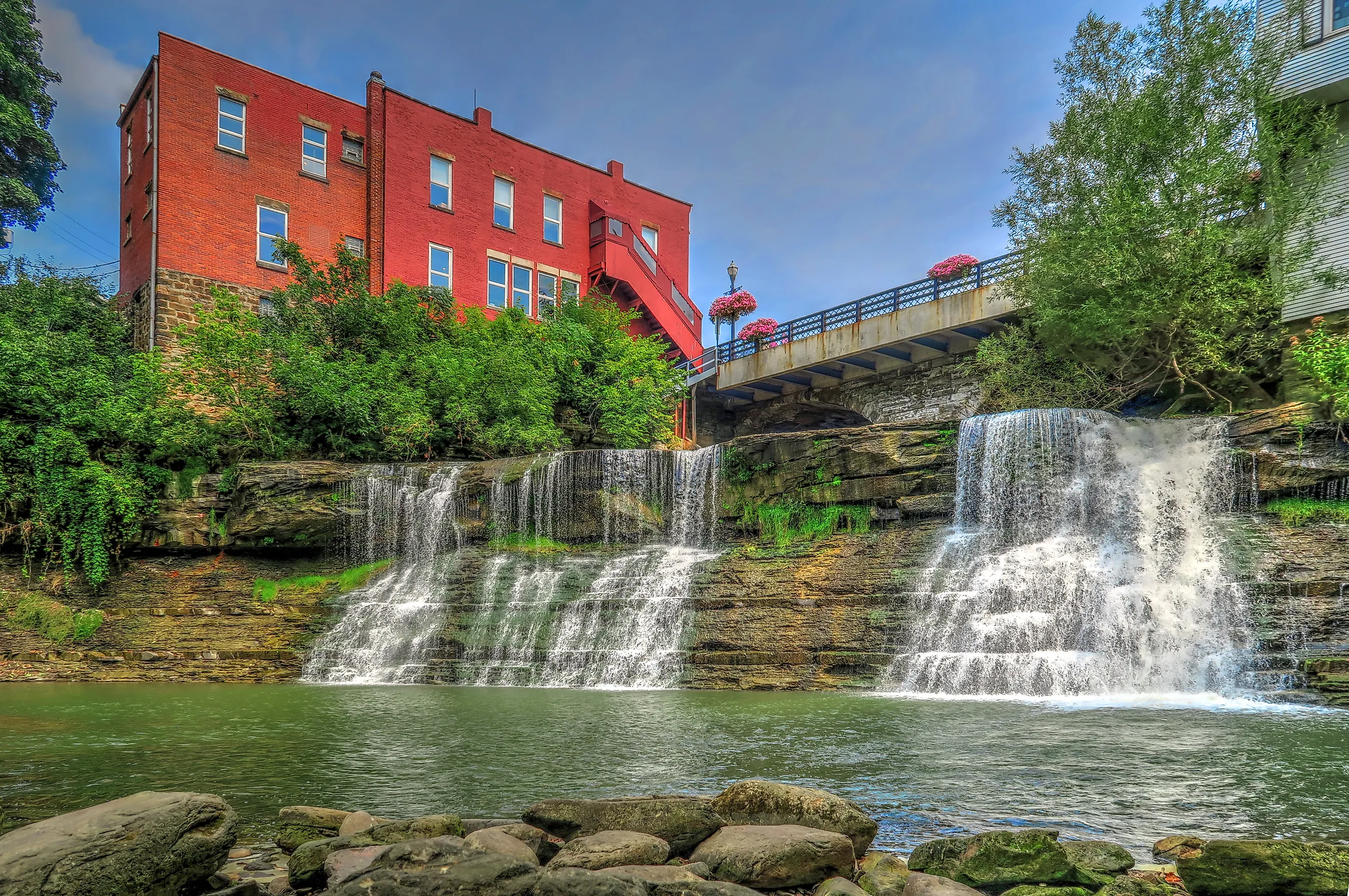
Anyone who lands on this village name after seeing it somewhere else in pop culture is usually chasing one of a handful of real, specific connections, not a fictional stand-in. Cartoonist Bill Watterson grew up here, and the back cover of The Essential Calvin and Hobbes draws a giant Calvin rampaging through the village’s town triangle and clock tower. Whether the strip’s Anywhere, USA setting is officially Chagrin Falls has never been confirmed by Watterson, who has stayed out of the public eye since the strip ended (Midstory). Separately, How I Met Your Mother‘s Ted Mosby, a character written as being from the real Cleveland suburb of Shaker Heights, recalls lifeguarding at the “Chagrin Falls Country Club” one summer (How I Met Your Mother Fandom wiki). That reference borrows the name for a place inside the show’s world; it does not invent a fictional double of the village. If a search brought you here from a lyric, a screen credit, or a book jacket, the village below is almost certainly the place being gestured at, even when the show or song never says so outright.
Is Chagrin Falls the actual town Calvin and Hobbes is set in? Watterson has never confirmed it, and the strip’s landscape is deliberately generic Midwestern suburbia. The one hard link is a single piece of cover art: the back of The Essential Calvin and Hobbes, one of the strip’s book collections, places Calvin rampaging specifically through this village’s real town triangle and clock tower, not through a generic townscape.
Why the Village Itself Lists Three Different Stories for Its Name
The village’s government website does not settle the question of where “Chagrin” comes from. It offers three competing explanations side by side: that it derives from an Indigenous name for the river, that it reflects explorer Moses Cleaveland’s frustration with the river’s sandbars and shallows, and that “chagrin” meant “clear” in a local dialect (Village of Chagrin Falls). No version carries a cited primary document on the village’s page, and the site’s own language treats all three as folklore rather than choosing one.
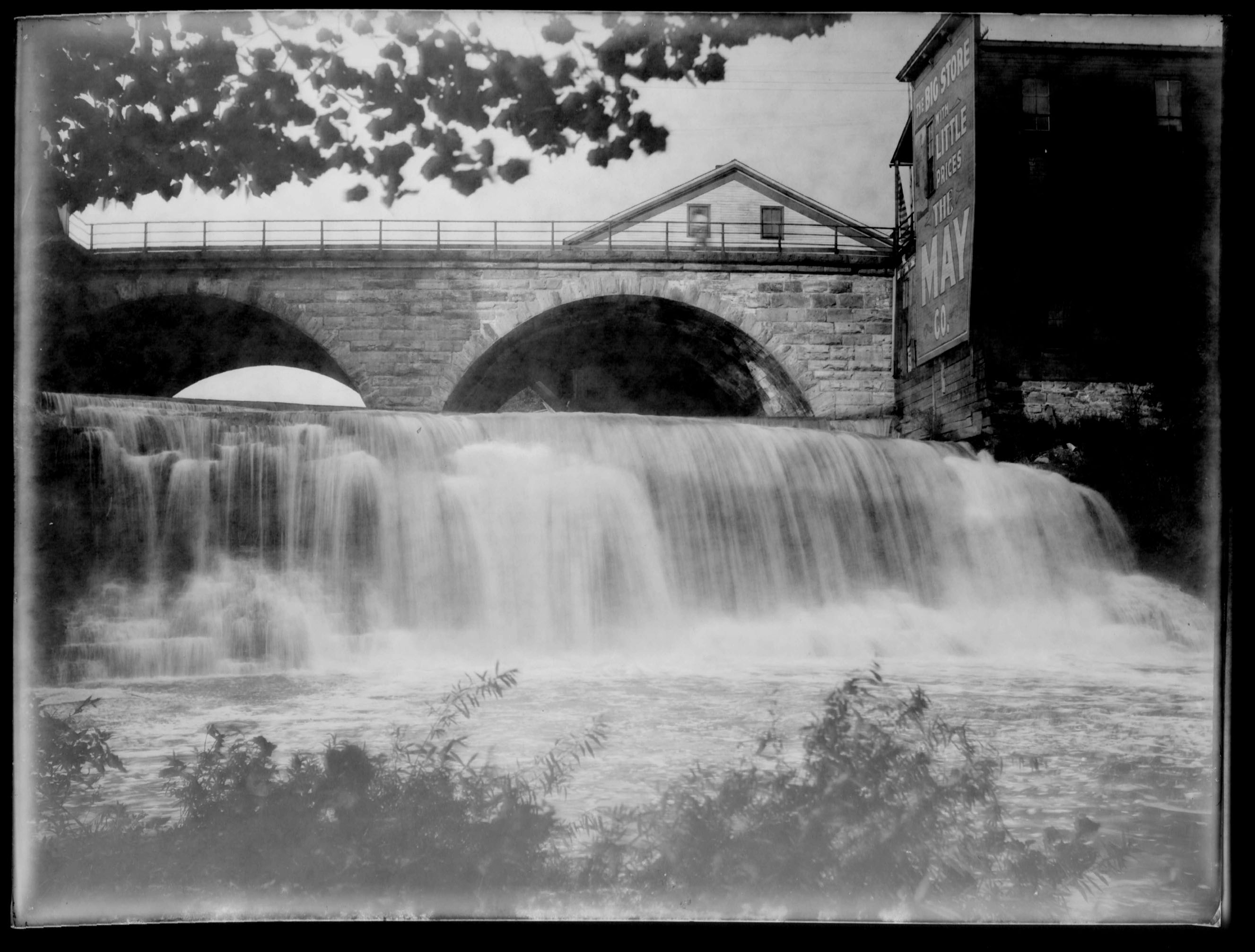
A second, related figure gets repeated with more confidence than its sourcing supports. The village’s official history states that the settlement grew from craftsmen’s cabins into “a commercial center with 9 separate mills, powered by the Chagrin River” (Village of Chagrin Falls), and the same number turns up again on real-estate and tourism sites describing the area. The Chagrin Falls Historical Society’s building-by-building inventory of the early industries doesn’t tally to a clean, dated “nine”: it documents specific, named operations instead, among them a grist mill built by George Fenkell in 1836, a saw mill and later paper mill built by Noah Graves in 1837, a flour mill built by Aaron Bliss and John Mayhew in 1841 that was later converted first to wool and then to paper production, and an axe factory built by Hervey White in 1842 (Chagrin Falls Historical Society). That is a sourced list of individual mills, each with a name and a year. “Nine” is the number that survived in retelling, not the number that carries a dated citation in the sources checked for this page.
Why do sources disagree about how Chagrin Falls got its name? No written record from the 1833 settling of the area appears to survive that pins down a single origin. Later local historians and the village’s own communications have each preserved a different oral account, and none of them can be checked against a document from the period itself.
A Short History: From Mills to a Residential Village
The first settlers arrived in 1833, drawn by the river’s waterfalls and surrounding timber (Chagrin Falls Historical Society). The village was incorporated on March 12, 1844 (Case Western Reserve Encyclopedia of Cleveland History). One of the mills has a traceable paper trail into the present day: George Fenkell’s 1836 grist mill included a sales office built in 1874 by Washington Gates, and when the village razed the mill itself in 1931, that sales office survived and is now the Popcorn Shop on Main Street.
Visiting the Falls: Parking, Viewing Points, and When to Go
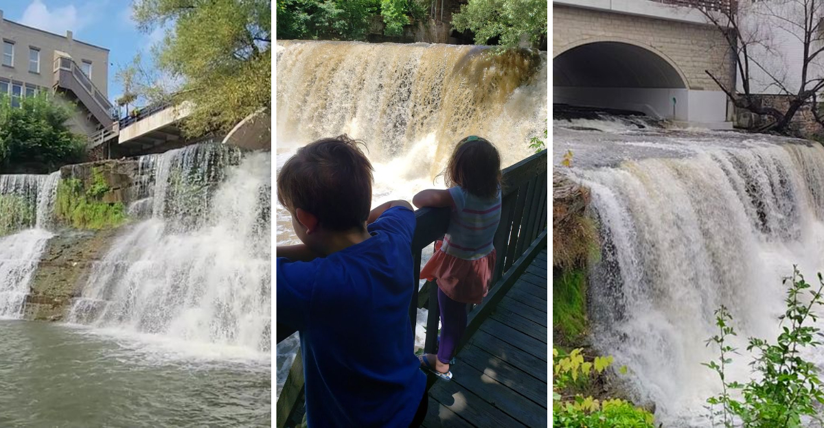
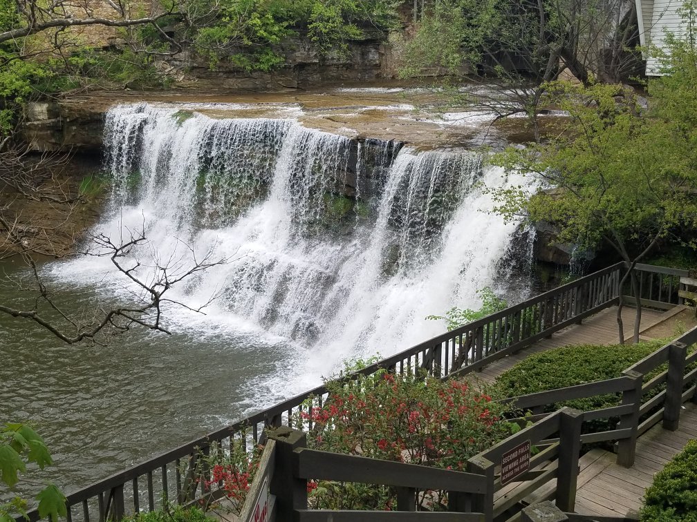
The falls sit downtown on the west side of the Main Street bridge, where the village’s own Falls Viewing Area provides close access down multiple staircases (Village of Chagrin Falls, Parks). Riverside Park, just adjacent, adds a brick walking path, a playground, and picnic space along the river, and the village lists three separate waterfalls along the Chagrin River within its limits, not just the one at the Main Street bridge. None of it requires a hike: the drop from a downtown sidewalk to the viewing platform is a matter of stairs, not trail miles.
Best Season for Water Flow
Like any river-fed waterfall without upstream dam control for tourism purposes, flow here rises with rain and snowmelt and drops in dry stretches. Spring runoff and periods after heavy rain produce the fullest cascade; a dry August week can shrink it to a comparatively thin sheet over the same rock ledge. Flow tracks rainfall, not the season on a calendar. No official gauge data for this specific stretch of the Chagrin River was located during research for this page, so treat “after recent rain” as the operative rule for a strong photo.
Where to Park
The village does not publish a dedicated paid visitor lot for the falls; access is via on-street parking near Main Street and North Main Street, the same streets that front the shops and restaurants around the falls. On weekends, nearby spaces fill up by mid-morning, and arriving earlier in the day noticeably improves the odds of parking within a short walk of the viewing staircases (CLE Family Collective).
What’s the best time of year to see the falls at their strongest? After a recent rain, in any season. Spring delivers this most reliably because of snowmelt, but a wet week in October will outperform a dry week in April.
How the Falls Compare to Other Waterfalls Near Cleveland
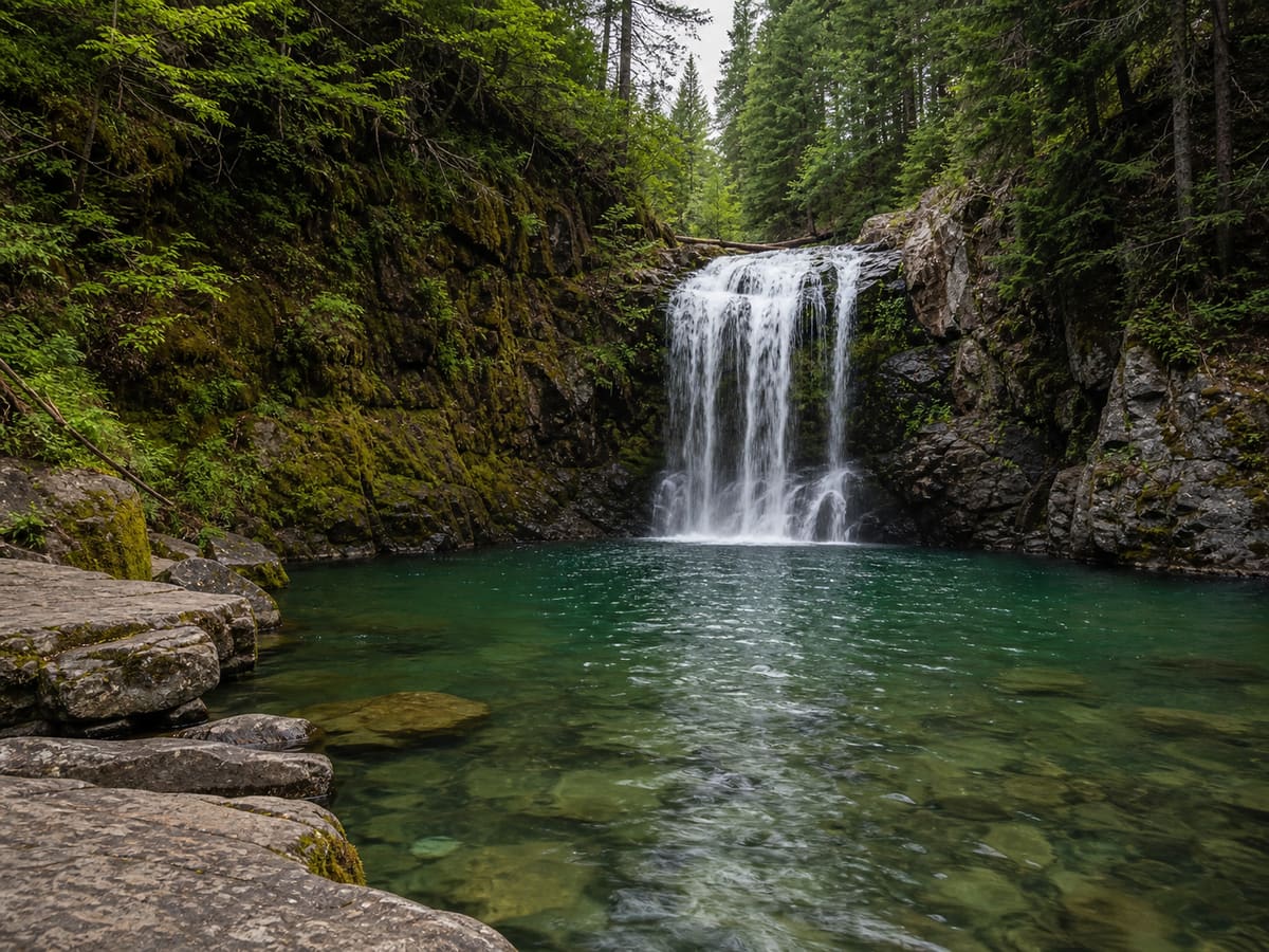
The downtown falls are not the only waterfall on the Chagrin River system, and visitors with a full day sometimes want to know whether a second stop is worth the drive.
| Waterfall | Height / character | What it’s known for | Best for |
|---|---|---|---|
| Chagrin Falls (downtown) | ~20 ft drop, ~60 ft crest | Sits inside a walkable downtown, no hike required | Anyone combining the falls with shops, food, or a short visit |
| Great Falls of Tinker’s Creek, Bedford Reservation | 17 ft, spans the full width of Tinker’s Creek | Historic mill and viaduct ruins along the trail, a 512-foot stone arch | Visitors interested in industrial history and a short paved walk |
| Buttermilk Falls, North Chagrin Reservation | Cascades over Cleveland Shale into Chagrin Shale | Quiet, forested overlook with ample parking | A calmer stop away from downtown foot traffic |
| Falls near Henry Church Jr. Rock, South Chagrin Reservation | On the Chagrin River itself, viewing deck at Quarry Rock Picnic Area | Paired with a carved sandstone landmark on the same short loop | The shortest add-on trip, since South Chagrin borders the village |
Sources: downtown falls, World Waterfall Database; Great Falls of Tinker’s Creek and Buttermilk Falls geology, Cleveland Metroparks and Cleveland Metroparks; Henry Church Jr. Rock falls, Cleveland Metroparks.
Pick Great Falls of Tinker’s Creek for scale and industrial ruins, Buttermilk Falls for a quiet walk with easy parking, and the South Chagrin falls near Henry Church Jr. Rock for the shortest detour, since that reservation sits right at the village’s edge.
Is the downtown waterfall part of the Cleveland Metroparks system? No. The falls, Riverside Park, and the viewing staircases belong to the Village of Chagrin Falls itself. The North and South Chagrin Reservations, which sit near the village and share the same river, are separately operated by Cleveland Metroparks.
Population, Home Values, and Commutes: What the Village Is Like Today
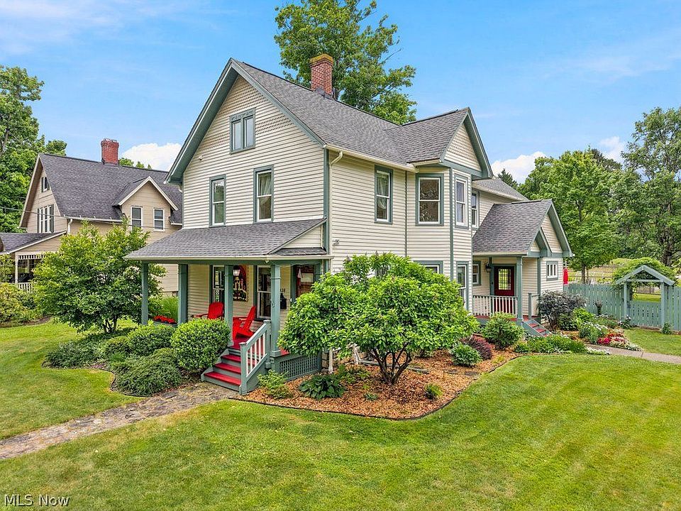
Beyond the waterfall, a meaningful share of people searching this name are sizing the village up as a place to live, not just visit.
| Metric | Chagrin Falls value | Comparative context |
|---|---|---|
| Population (2024) | 4,201 | – |
| Median household income (2019–2023 ACS) | $99,672 | Well above the Ohio median |
| Median home value (2024) | $440,700 | About 1.3x the national median of $332,700 |
| Homeownership rate | 79.1% | About 14 points above the national rate of 65.2% |
| Average commute time | 20.9 minutes | Shorter than the national average of 26.4 minutes |
All figures: Data USA, compiling U.S. Census Bureau American Community Survey data.
The homeownership rate and the shorter commute point in the same direction: this is a village where people tend to settle in for years, not a waypoint suburb people commute long distances through.
Who the Numbers Tend to Suit
Buyers looking for walkable small-town density with a below-average commute and a well-above-average price floor will find the numbers consistent with that trade. Renters looking for volume of options will find less: a homeownership rate near 80% means a comparatively thin rental market relative to a typical Cleveland suburb.
Common Mistakes When Planning a Visit
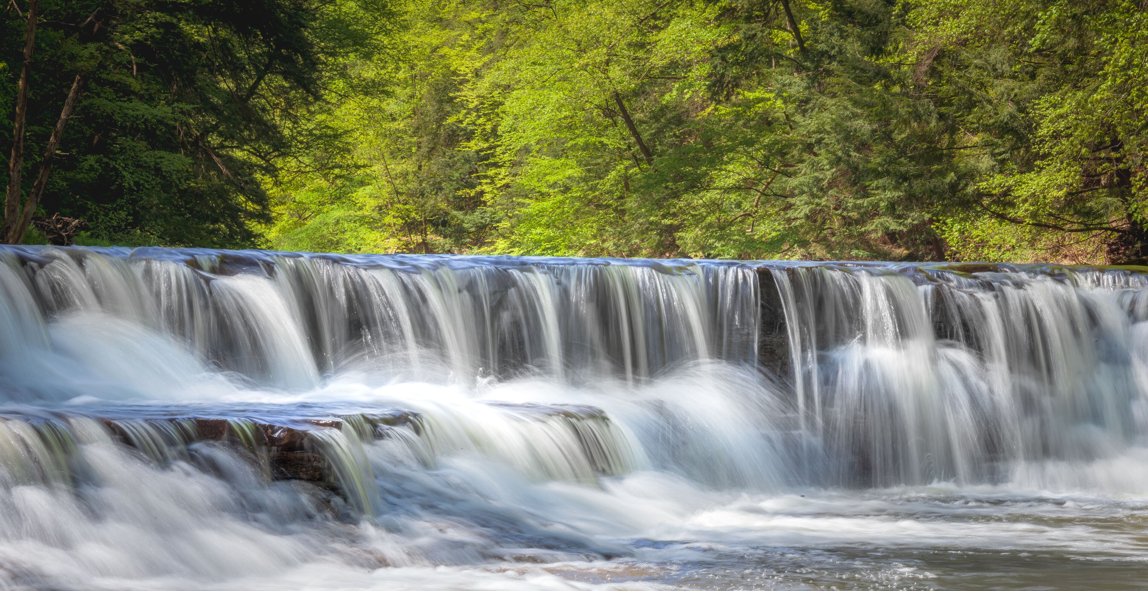
- Treating the downtown falls and the Metroparks reservations as one destination. They’re separately managed and several minutes apart by car; a visitor expecting hiking trails at the downtown falls will find stairs and sidewalks instead.
- Visiting after a dry stretch and expecting the dramatic version from photos. Flow is rain-dependent, and a low-water week produces a noticeably thinner cascade over the same ledge.
- Arriving mid-afternoon on a weekend without a parking plan. Street parking near Main Street fills by mid-morning on busy weekends, and the closest spaces go first.
- Repeating “nine mills” as a settled historical fact. It’s a widely repeated number without a dated primary source behind it; the historical society’s named, dated inventory is the better-supported version to cite instead.
Comments