
Where Wellesley Hills Actually Is
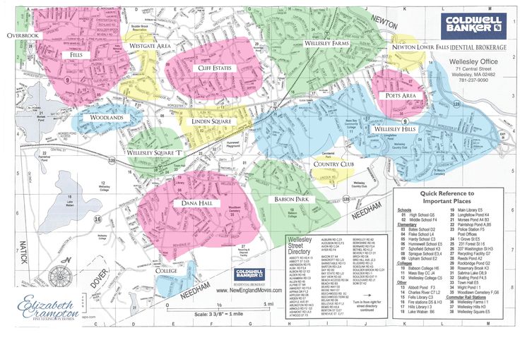
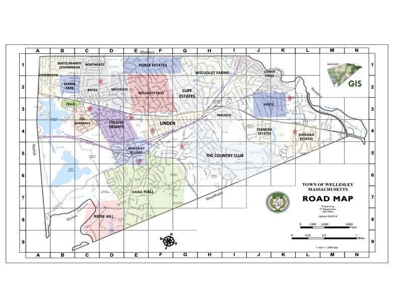
Wellesley has never drawn a legal boundary around any of its villages, and Wellesley Hills is no exception. The closest practical anchor is the Wellesley Hills MBTA station itself, at 341 Washington Street, and the ZIP code most listings use for the area, 02481. Beyond that, the name describes a lived-in area rather than a mapped one.
The clearest evidence of this fuzziness sits in the town’s own Elementary School Districts by Street lookup. Washington Street runs through Schofield’s district for house numbers 1 to 189 and 190 to 212, switches to Sprague for 207 to 571 odd, then to Fiske for 254 to 386 even, then to Hunnewell for 388 and up. A buyer treating “on Washington Street” as a single answer to “which school will my kids attend” is working from a false premise before an offer is even written.
Is Wellesley Hills the same neighborhood some listings call the “Country Club” area? Yes, in local real-estate usage the two names describe the same general area around the station and Wellesley Country Club; neither is an official designation, since the town does not maintain formal neighborhood boundaries at all.
Housing Stock and Price Range
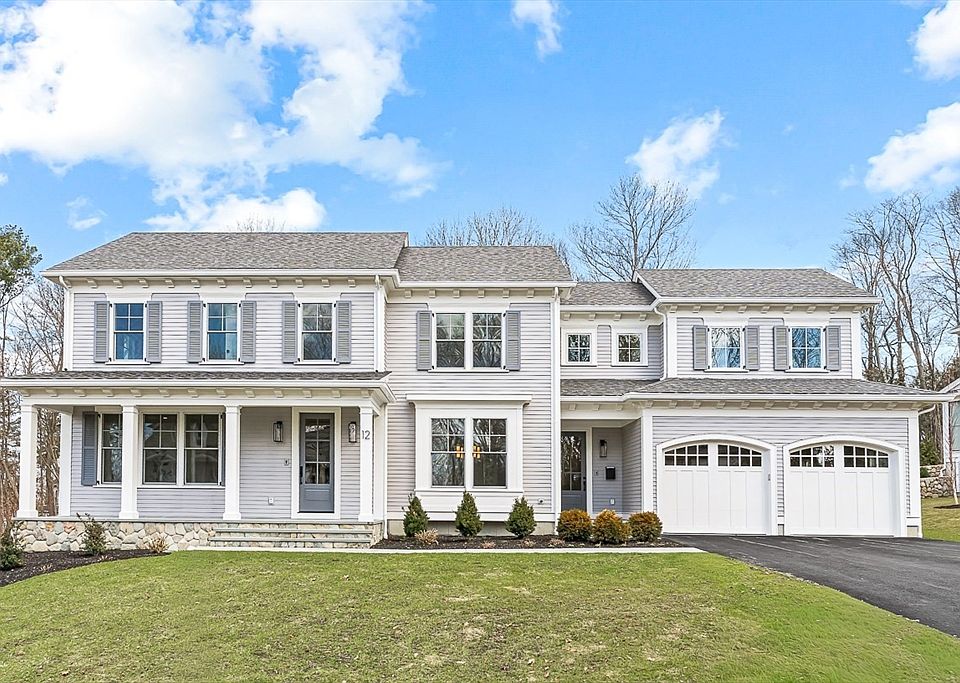
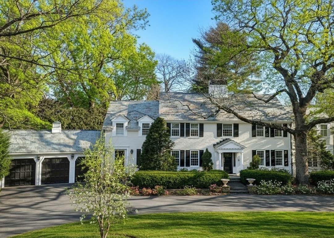
Most Wellesley Hills houses date to the first half of the 20th century, with newer construction filling in torn-down lots where older homes no longer met buyer expectations.
How Wellesley Hills compares to the two other villages with independent data
| Area | Recent median sale | Change vs. prior year | Sample note |
|---|---|---|---|
| Wellesley Hills | $1.9M to $2.3M (disputed, see callout above) | -9% to +21% depending on source | Sample size undisclosed on all three cited pages |
| Wellesley Farms | $2.0M (March 2026) | +54.3% | 3 sales in the month, per Redfin |
| Wellesley Square | $1.4M (trailing 3 months) | -33.5% | Small trailing-quarter count, per Redfin |
| Wellesley (town-wide) | $1.8M (March 2026) | flat | 11 sales in the month, per Redfin |
Every village-level figure in this table swings by double digits year over year, and every one of them is built on a monthly or trailing-quarter count in the single digits. Treat any one village’s reported median as a rough zone, not a number to price an offer against; the town-wide row, resting on a larger sample, is the steadier reference point of the four.
How does Wellesley Hills compare in price to Wellesley Farms and Wellesley Square? On the data above, Hills and Farms sit in a broadly similar upper range, while Square trades lower; all three figures are volatile enough on small samples that the gap between them should be treated as a rough zone rather than a fixed premium.
Schools and the Street-Level District Split
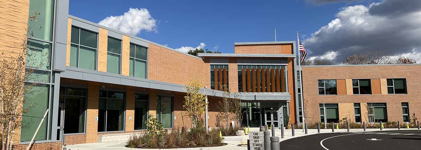
Wellesley redrew parts of its elementary map in January 2024, adjusting the Fiske/Hunnewell and Bates/Hardy boundary lines ahead of the district’s move to six elementary schools. The table below pulls directly from the town’s current, official street-by-street lookup.
| Street / segment | Assigned elementary school |
|---|---|
| Cedar Street, 1–106 | Schofield |
| Cedar Street, 110+ | Fiske |
| Oakland Street, 1–20 | Schofield |
| Oakland Street, 41+ | Fiske |
| Washington Street, 1–212 | Schofield |
| Washington Street, 207–571 (odd) | Sprague |
| Washington Street, 254–386 (even) | Fiske |
| Washington Street, 388+ | Hunnewell |
| Central Street, 1–103 (odd) | Sprague |
| Central Street, 109+ (odd) | Hardy |
Four separate streets in this table split mid-block, and Washington Street alone touches four different schools. A house number, not a street name, decides the assignment on any of these roads.
Does every Wellesley Hills address feed the same elementary school? No. As the table above shows, several core Hills-area streets, Washington, Cedar, and Oakland among them, split between two different elementary districts partway down the block, so the specific address has to be checked against the town’s lookup rather than assumed from the street name.
Commute to Boston

Wellesley Hills station sits at 341 Washington Street and is served by the Framingham/Worcester Line. A scheduled South Station departure at 9:00 PM reaches Wellesley Hills at 9:37 PM, a 37-minute run, per the MBTA’s published schedule. The station is not currently accessible and has 55 parking spots, per the MBTA’s own station page.
What’s the scheduled commute time to Boston from the Wellesley Hills station? About 37 minutes on a scheduled train to South Station, based on the MBTA’s published Framingham/Worcester Line timetable; actual travel time varies by train and by service conditions.
Property Taxes at the Current Median
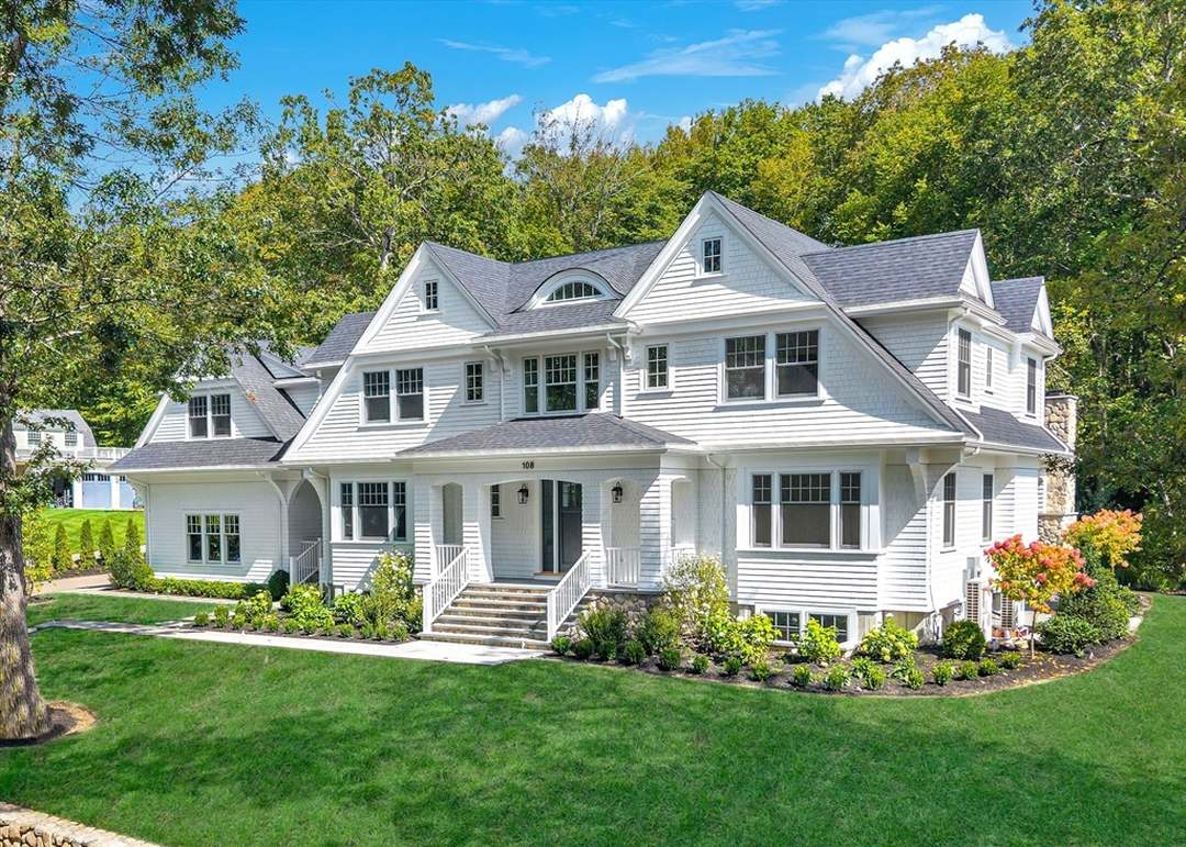
Wellesley’s FY2026 residential tax rate is $10.17 per $1,000 of assessed value, a single uniform rate applied to residential and commercial property alike, per the town’s own FY2026 Tax Classification Hearing presentation. The town-wide median single-family assessment for FY2026 is $1,751,000, carrying a median annual bill of $17,808. Applying the same rate to a home assessed near the low end of the disputed Wellesley Hills range, $1.9 million, works out to roughly $19,323 a year; at the high end, $2.3 million, the bill runs closer to $23,391.
Zoning, Lot Size, and the Cost of Skipping the Setback Check
Wellesley’s Single Residence District rules set minimum lot sizes of 10,000, 15,000, or 20,000 square feet depending on when and where a lot was platted, with a maximum Build Factor of 20 applied to lots recorded after January 24, 1985. A lot that predates its district’s current minimum does not automatically lose the right to be rebuilt, but it does lose the right to rebuild without a hearing.
A 2020 case makes the stakes concrete: a Jefferson Road property, a street inside the Fiske district a few blocks from the station, sat on a 10,582 square foot lot inside a district with a 15,000 square foot minimum. The owner needed a special permit from the town’s Zoning Board of Appeals before demolishing the existing 1947 house and rebuilding, even though the new structure was designed to meet current setbacks. The permit was granted, but only after a formal hearing process, not as a matter of right.
- Assuming a torn-down-and-rebuilt lot conforms: many Hills lots predate the district’s current minimum size, so a rebuild plan needs a pre-offer zoning check, not an assumption based on the neighboring houses.
- Skipping the school-address check before offering: as the table above shows, a listing’s street name is not proof of school assignment.
- Treating a headline median as a price anchor: the sample-size problem described above applies to any single-village number, Hills included.
Can I renovate or rebuild on a Wellesley Hills lot without restriction? Not automatically. If the lot is smaller than the current minimum for its Single Residence District, a demolition-and-rebuild project needs a special permit from the town’s Zoning Board of Appeals before construction, as the 2020 Jefferson Road case shows.
Who Wellesley Hills Suits, and Who Should Look Elsewhere
- Suits buyers who want walking-distance village access: the station, Linden Square retail, and several elementary schools sit within a short drive or walk of most Hills addresses.
- Suits buyers comfortable verifying details before offering: given the school-boundary and zoning specifics above, buyers who want a simple, single fact per question will find Hills more work than a village with cleaner lines.
- Look elsewhere for maximum privacy or larger acreage: Wellesley Farms, per its own sourced figures above, trades at a comparable or higher price point with generally larger, more separated lots.
- Look elsewhere for a lower entry price: Wellesley Square’s trailing three-month median, sourced above, runs well below the disputed Hills range.
- Look elsewhere if a thin comparable pool is a dealbreaker: every village-level figure in this article is built on a handful of monthly sales, which complicates appraisal and negotiation leverage regardless of which village is chosen.
Amenities and Daily Life
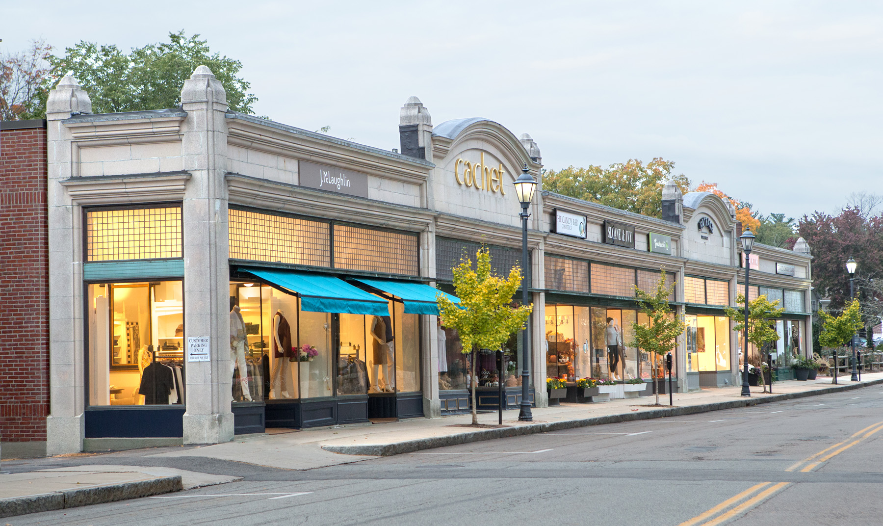
Retail clusters around Linden Square and the Washington Street corridor near the station, with the town’s larger Wellesley Square commercial district a short drive away. Recreational access includes town-maintained trails near the Charles River watershed. Daily life here is built around the station and the village core rather than a single defining landmark.
Comments