
Who Sheepshead Bay Fits (and Who It Doesn’t)
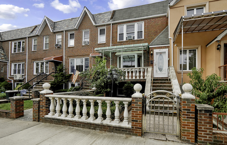
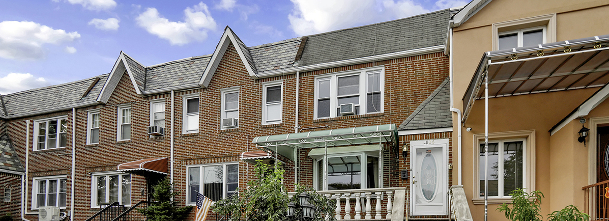
This suits a buyer priced out of Park Slope or Bay Ridge who wants a house with a driveway, a co-op board that isn’t competitive, and a 45-minute-plus commute they’ve already decided to accept. It suits someone who wants a working waterfront, boats, bait shops, a fish market, over a landscaped one. It does not suit someone whose job needs a sub-35-minute Manhattan door-to-desk time, or a buyer unwilling to budget for flood insurance on a coastal parcel.
On safety, NYPD’s 61st Precinct, which covers Sheepshead Bay along with Gravesend and Manhattan Beach, reported year-to-date figures through the week ending June 14, 2026: burglary down 33.3% from the same point in 2025 (52 complaints versus 78), felony assault down 2.6% (113 versus 116), robbery flat (55 versus 55), and grand larceny up 14.3% (272 versus 238). Property crime is falling while larceny climbs, a mixed picture worth remembering before trusting any single “safe” or “unsafe” label.
Is Sheepshead Bay safe? Year-to-date 2026 precinct data shows burglary and felony assault trending down from 2025, while grand larceny, much of it car break-ins and package theft, is up 14.3%. There’s no single score that captures both directions.
Getting In and Out

| Departure (Sheepshead Bay, Q train) | Arrival, Times Sq–42 St | Travel time | When |
|---|---|---|---|
| 8:23 a.m. | 9:10 a.m. | 47 min | Weekday morning rush |
| 1:13 p.m. | 1:59 p.m. | 46 min | Weekday midday |
| 8:22 a.m. | 9:03 a.m. | 41 min | Saturday morning |
These are scheduled times pulled directly from the MTA’s May 2026 Q-train timetable, not averages. Expect roughly 41 to 47 minutes to Times Square, plus however long it takes to reach the platform from your specific block.
How long does the subway commute to Manhattan take? By the scheduled Q-train timetable, 41 to 47 minutes to Times Square depending on time of day, measured platform to platform.
What You’ll Pay
| Housing type | Price range or median | As of |
|---|---|---|
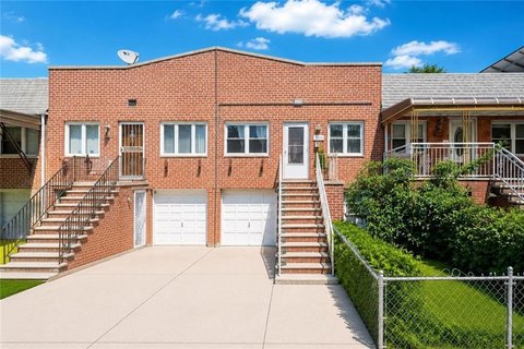
| Single-family house | $549,000 to $1,850,000 (asking range) | June 2026 |
| Neighborhood-wide median sale (all types) | $409,500, down 11% year over year | June 2026 |
| Neighborhood-wide median asking | $515,000, down 19.4% year over year | February 2026 |
| Multi-family (2–4 unit) | $399,998 median list, $547,140 average sale | March 2026 |
Figures from Homes.com’s Sheepshead Bay listings data and StreetEasy’s 2026 buyer report. The 106-day time-on-market figure, against a 58-day national average, means real room to negotiate: this isn’t a market where an asking price is a floor. StreetEasy named Sheepshead Bay one of the city’s more buyer-friendly pockets for 2026 on the strength of falling prices and rising inventory, which makes a patient offer under ask a reasonable opening position.
Flood Risk and the Waterfront Trade-off
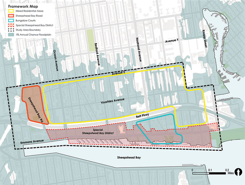
New York City’s Department of City Planning mapped Sheepshead Bay’s flood exposure after Hurricane Sandy’s surge came up from the bay and extended north to Avenue X. The preliminary FEMA maps used for that study place the Emmons Avenue and Voorhies Avenue waterfront in the V zone and Coastal A zone; parcels a few blocks north sit in the lower-risk A zone, and some fall in the 500-year zone or outside mapped risk altogether.
| Zone | What it means | Where |
|---|---|---|
| V Zone | Highest risk; breaking waves expected in a major storm | Immediate waterfront, Emmons Ave |
| Coastal A Zone | Wave and surge risk without full V-zone wave force | Blocks just off the water |
| A Zone | Storm-surge flood risk, no wave action | Interior blocks toward Voorhies Ave |
| 500-Year Zone | Lower-probability risk, often outside mandatory insurance requirements | Northernmost mapped blocks |
The city’s response has been zoning, not just mapping: DCP’s Sheepshead Bay resiliency plan proposed banning new below-grade plazas in the neighborhood’s special zoning district because they flood easily. A house two blocks away can sit in an entirely different zone, so check the specific address on the city’s flood map tool rather than assuming a neighborhood-wide risk level.
Is Sheepshead Bay flood-prone? Waterfront blocks along Emmons Avenue are mapped in FEMA’s highest-risk V and Coastal A zones; blocks a few streets inland can fall in the lower-risk A zone or outside mapped risk. It varies by block, not by neighborhood.
Schools and Zoning
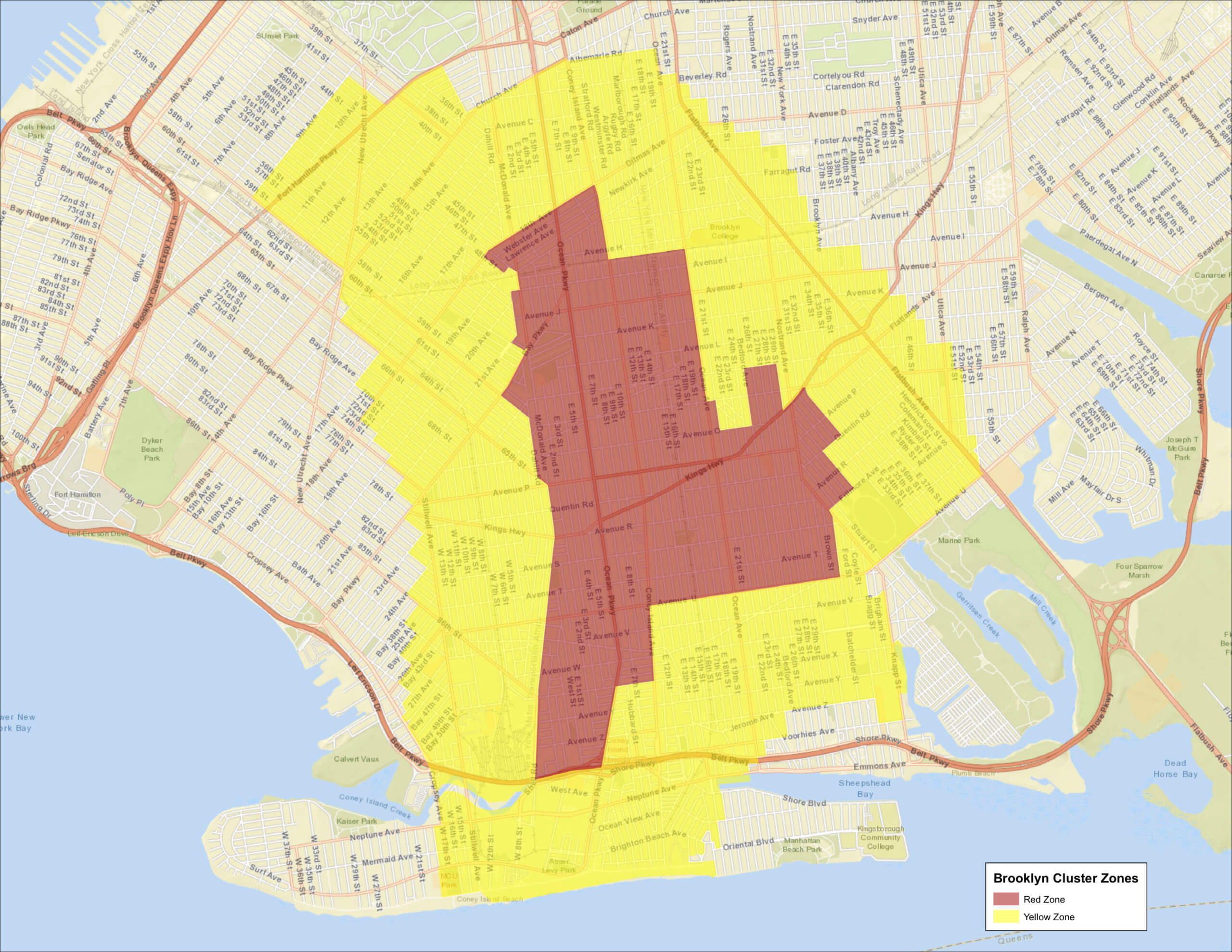
Sheepshead Bay sits inside Community School District 21, per the DOE’s own district map, alongside Coney Island, Gravesend, and Ocean Parkway, not split across two districts as it’s sometimes described online. What is genuinely address-dependent is which specific elementary school a given block is zoned for within that district: zoning lines run block by block, not along the neighborhood’s informal boundary. Run your exact address through DOE’s zoned-school finder before assuming a rating you saw for a nearby school applies to your block.
Eating and Spending Time on the Water
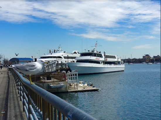
Summer here means fishing-boat charters along Emmons Avenue loading before dawn and sidewalk seafood counters doing steady trade. Winter strips that back to a quieter, mostly residential stretch, based on the visible seasonal swing in foot traffic and open storefronts along the avenue rather than any single measured statistic. A visit timed to one season gives one read on daily life; a visit timed to the other gives a different one.
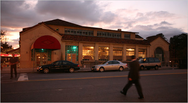
The F.W.I.L. Lundy Brothers Restaurant Building at 1901 Emmons Avenue, built in 1934 by architects Bloch and Hesse and designated a city landmark by the Landmarks Preservation Commission in 1992, ties the neighborhood’s waterfront-resort past to its present. The building now holds a market and several restaurants rather than the single dining room that once sat over 2,000 people.
How It Compares Nearby
| Neighborhood | Median sale price | Transit | Character note |
|---|---|---|---|
| Sheepshead Bay | $409,500 (June 2026) | Q/B subway, 41–47 min to Times Sq | Mixed co-op, condo, and house stock; working waterfront |
| Gerritsen Beach | $602,000 (June 2026, down 7% YoY) | No subway; BM4 express bus to Midtown only | Nearly all single-family, about 84% owner-occupied |
| Brooklyn, borough-wide | $850,000 (Q1 2026) | Varies | Baseline for comparison |
Gerritsen Beach costs roughly $190,000 more at the median despite having no subway line at all, a gap that reflects lower density and higher owner-occupancy more than better transit.
Is Sheepshead Bay or Gerritsen Beach the better choice? Sheepshead Bay has subway access and a lower entry price; Gerritsen Beach trades that subway line for a quieter, almost entirely single-family street grid at a higher median cost.
A Short History

The neighborhood takes its name from the sheepshead fish once caught in the bay. A resort destination in the late 1800s, it turned into a year-round residential neighborhood once subway service arrived in 1908.
Comments