
Where Pelham Parkway Actually Is
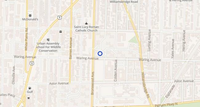
The name on the mailbox and the name in city planning documents don’t always match here. Wikipedia’s entry on the roadway itself states it plainly: the residential neighborhood that surrounds the parkway is officially Morris Park, and only the part closest to the road is commonly called Pelham Parkway. Locals use “Pelham Parkway” for the streets north and south of the boulevard regardless of that formal line, and real estate listings follow the local usage, not the official one.
| Edge | What defines it | Runs along |
|---|---|---|
| North | The parkway roadway itself | Pelham Parkway South |
| East | Elevated subway structure | IRT Dyre Avenue Line (5 train) tracks |
| South | Street grid | Bronxdale Avenue |
| West | Park boundary | Bronx Park East |
Those four lines are the neighborhood’s commonly used footprint. Whether a given block also counts as Morris Park on a city map has no bearing on daily life there: the co-op board, the corner store, and the bus stop all use the local name.
Is Pelham Parkway the same as Morris Park?Not officially. City documentation of the parkway itself identifies the surrounding neighborhood as Morris Park, with “Pelham Parkway” as the everyday name for the blocks nearest the road. Listings and residents use Pelham Parkway for the area described in the table above.
Housing and What It Costs
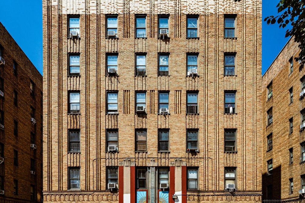
Six-story prewar and midcentury co-ops dominate the housing stock. StreetEasy’s building records for the area show co-ops built between 1932 and 1951, ranging from 58 to 96 units per building, brick construction with elevators standard in buildings from the 1930s on.
| Housing type | Typical price | Notes |
|---|---|---|
| Co-op resale (studio to 2BR) | $98,000 to $339,999 | Active listing range, June to July 2026, StreetEasy |
| Co-op resale, area median | $192,000 ($246/sq ft) | Based on a typical 900 sq ft unit, as of June 10, 2026 |
| Rentals | No reliable median available | Only a handful of active listings at any time; treat any quoted rental “average” for this area with caution |
Co-op maintenance fees vary by building age and underlying mortgage, and StreetEasy’s public listing data doesn’t break those fees out separately from the asking price, so budget for a maintenance-fee conversation with the specific building’s board rather than a neighborhood-wide number.
Are homes in Pelham Parkway mostly co-ops or rentals?Mostly co-ops. The rental market here is thin enough that no site publishes a reliable median asking rent; co-op resale is the market with actual pricing data behind it.
Getting Around
By subway
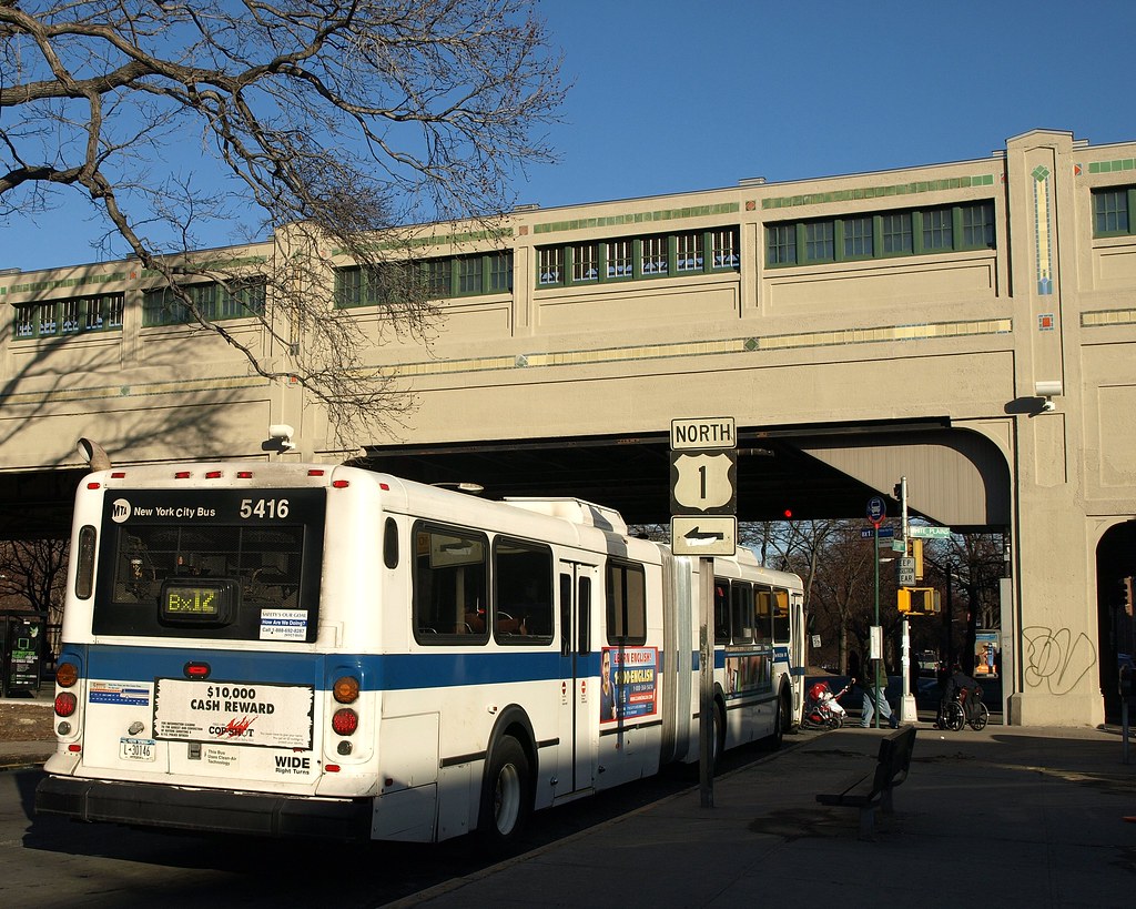
Two different stations share the name “Pelham Parkway”: one on the elevated White Plains Road Line, served by the 2 and 5 trains, and a separate underground stop on the Dyre Avenue Line, served by the 5 train only, a few blocks east. Confirm which one a listing or driving direction means before you rely on it.
By bus
Bx12, Bx8, and Bx31 buses cross the neighborhood along White Plains Road, Williamsbridge Road, and the parkway itself, connecting to Fordham Road and the Metro-North Fordham station for a subway-free route into Manhattan.
How long is the subway ride to Manhattan from Pelham Parkway?No single verified number exists for this. The area has two separate “Pelham Parkway” subway stops on different lines, and MTA doesn’t publish a fixed schedule time between either one and a specific Manhattan station, so check a live trip planner for your travel time rather than trusting a flat estimate.
Safety, Honestly
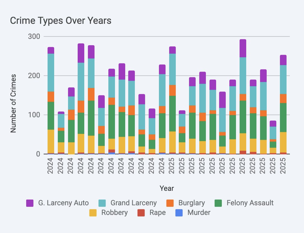
The 49th Precinct, which covers Pelham Parkway along with neighboring Morris Park and Van Nest, reported 776 total crime complaints year to date through May 17, 2026, down 9.7% from 859 over the same span in 2025, according to NYPD CompStat.
| Category | YTD 2026 | YTD 2025 | Change |
|---|---|---|---|
| Robbery | 117 | 91 | +28.6% |
| Felony assault | 216 | 169 | +27.8% |
| Burglary | 73 | 103 | -29.1% |
| Grand larceny | 227 | 292 | -22.3% |
| Grand larceny, auto | 124 | 189 | -34.4% |
Burglary and grand larceny are both down by roughly a quarter to a third year over year, while robbery and felony assault moved in the opposite direction by a similar margin. Neither trend cancels the other out; a household weighing property crime risk and a household weighing street-level violent crime risk would read this same precinct differently.
The precinct’s own 33-year comparison offers longer context: full-year 2025 complaints totaled 2,414, down 61.7% from 1990’s 6,295, and 2025’s five murders were down 68.8% from 1990’s sixteen.
Is Pelham Parkway safe?By the precinct’s own multi-decade data, dramatically safer than in 1990. Year to date through May 2026, overall complaints are down compared with the same period in 2025, though robbery and felony assault specifically are up over a quarter.
Who It Fits, Who It Doesn’t
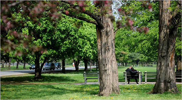
The Bronx Zoo and New York Botanical Garden sit at the neighborhood’s western edge. Limited Admission to the Zoo is free every Wednesday with a reserved ticket, per the Zoo’s own visitor FAQ, a real way to use the proximity rather than just noting it exists.
| You’ll likely like it if… | It’s probably not for you if… |
|---|---|
| You want a co-op, not a rental, and can work with a board | You need a rental market with real inventory and comparables |
| You’re fine driving or busing for most errands and nightlife | You want a walkable bar or restaurant strip after dark |
| You want frequent green space access over ground-floor retail variety | You want new construction with modern building amenities |
| You can tolerate ambiguity about whether it’s “Pelham Parkway” or “Morris Park” on paperwork | You need an unambiguous, single-name address for official purposes |
Nightlife is genuinely limited. The retail spine along White Plains Road and Lydig Avenue is built for daytime errands, groceries, and quick meals, not a late evening out; residents who want that regularly plan to leave the neighborhood for it.
What’s there to do at night in Pelham Parkway?Not much within the neighborhood itself. It’s a quiet, residential area after early evening; residents looking for nightlife typically travel to Fordham Road or into Manhattan.
A Little History
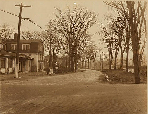
John Mullaly’s New York Park Association pushed the city toward Bronx parkland starting in 1881, and the 1884 New Parks Act set aside the corridor between Bronx Park and Pelham Bay Park that gave the road, and later the neighborhood, its name, with the land purchase completed by 1890, per NYC Parks. The first roadway opened to traffic in 1911 as a single two-lane strip in today’s westbound lanes; the full parkway drivers use now wasn’t finished until 1937, under Robert Moses. The elevated Pelham Parkway subway station, with its distinctive tilework spanning the greenbelt, opened in 1916. Near where Eastchester Road meets the parkway, the Pelham Heath Inn nightclub broadcast big-band radio sets nationally before closing in 1952.
Comments