
What the 43522 ZIP Code Covers
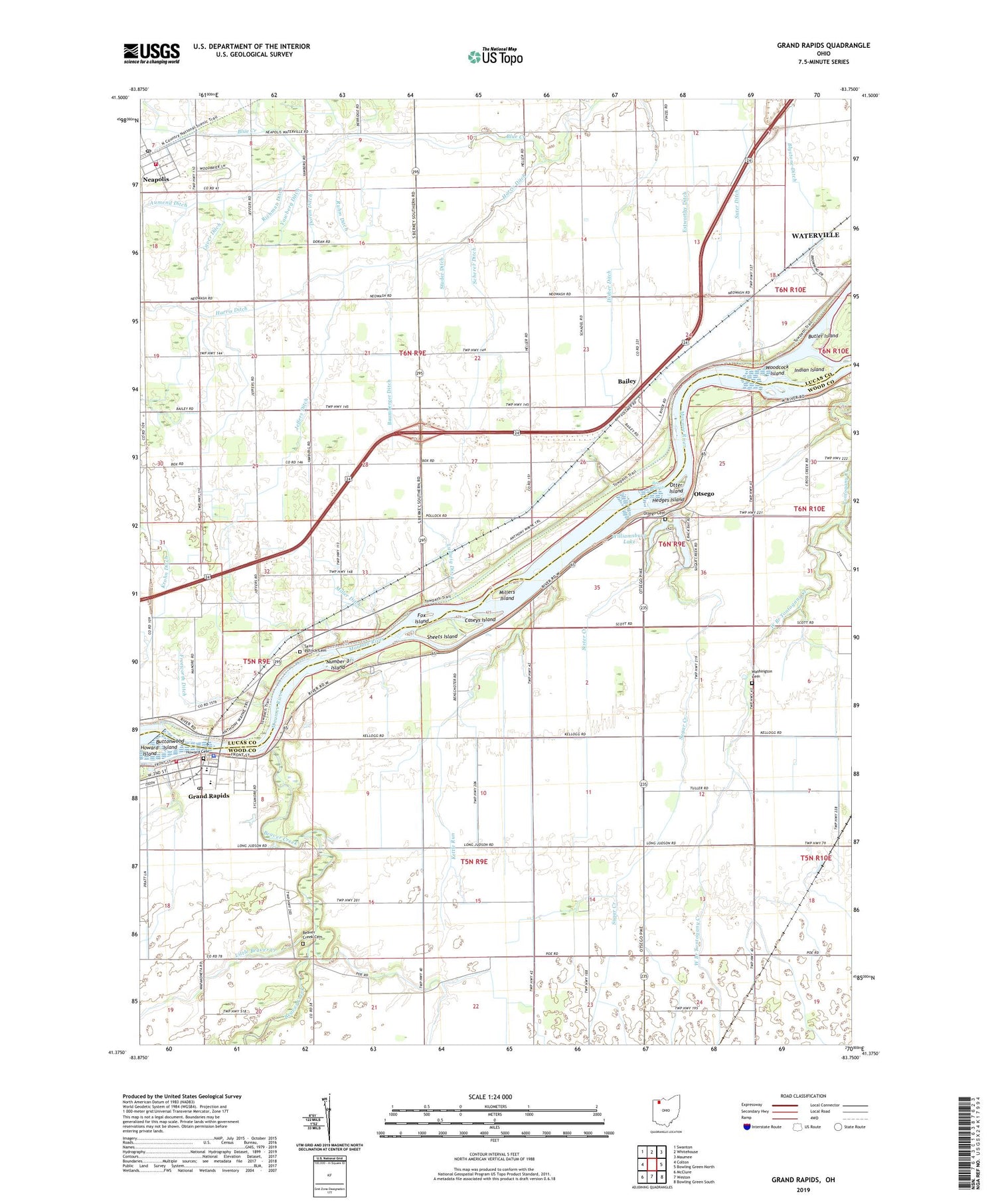
The village of Grand Rapids sits inside Grand Rapids Township, Wood County, on the Maumee River. Its incorporated limits run about 0.88 square miles of land, 0.97 square miles including the river, based on the U.S. Census Bureau’s 2020 Decennial Census boundary count. The 43522 ZIP code is a much larger postal service area built around that village: roughly 31.65 square miles of land plus another 1.02 square miles of water, reaching into parts of Wood, Lucas, and Henry counties. About 97% of the ZIP’s land area sits outside the village limits entirely, on unincorporated township land or in nearby places like Neapolis. An address carrying a 43522 ZIP does not by itself tell you whether a property is inside the village, subject to village ordinances and the village income tax, or on township land instead. The parcel’s actual jurisdiction has to be checked against the Wood, Lucas, or Henry County auditor’s parcel map.
| Boundary | Land area | Population | Counties covered | Source / year |
|---|---|---|---|---|
| Village of Grand Rapids (incorporated) | 0.88 sq mi (0.97 incl. water) | 925 | Wood County only | U.S. Census Bureau, 2020 Census |
| ZIP 43522 (full postal area) | ~31.65 sq mi (~1.02 sq mi water) | ~3,250 | Wood, Lucas, and Henry counties | U.S. Census Bureau ZCTA, 2020 Census; ClustrMaps.com |
| ZIP area outside the village (calculated) | ~30.77 sq mi | ~2,325 | Mostly Wood and Lucas counties | Derived from the rows above |
The table’s middle row is the one both listing portals and Census summaries tend to compress into a single figure: treat any 43522 statistic as ZIP-wide unless a source states plainly that it describes the incorporated village.
Is Grand Rapids, Ohio the same as Grand Rapids, Michigan?No. Grand Rapids, Ohio is a Wood County village of under 1,000 residents on the Maumee River in northwest Ohio. Grand Rapids, Michigan is a Kent County city of nearly 199,000 residents in a different state. Content written for the Michigan city, including relocation and neighborhood guides, does not describe the Ohio village.
Population: Reconciling Two Very Different Numbers
Two population figures circulate for this address, and both are correct for what they measure: the village itself counted 925 residents in the 2020 Census, while the wider 43522 ZIP counted about 3,250 in the same count. The roughly 2,325-person gap tracks directly to land area: the ZIP covers about 36 times more square mileage than the village, pulling in surrounding township households the village figure never counted. Comparing “population 925” to “population 3,250” without noting which boundary each number describes is comparing two different geographies under one ZIP code.
Why do population figures for 43522 vary so much between sources?Beyond the village-versus-ZIP boundary difference explained above, sources also mix data vintages: some report the 2020 Decennial Census count directly, while others report a later ACS 5-year rolling estimate or a private population-modeling estimate for the current year. Two figures that both look current can still describe different years and different methodologies as well as different boundaries.
Home Values and Rent Right Now
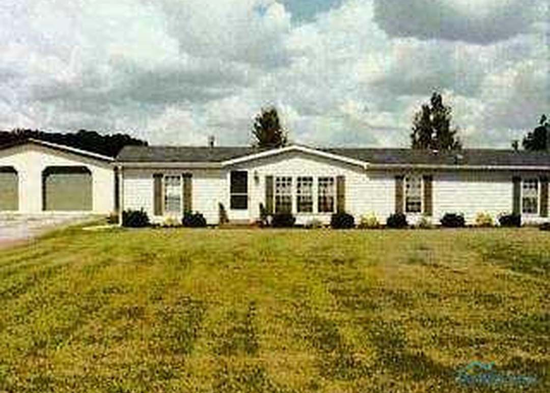
Current listing prices, new-construction pricing, and the Census Bureau’s longer-run value estimates for existing homes measure three different things, and the gap between them is informative in its own right.
| Metric | Figure | Comparison | Source / year |
|---|---|---|---|
| Active-listing median price, ZIP 43522 | $299,000 | Ohio statewide average home value: $182,492 | Movoto, July 2025 |
| Days on market, ZIP 43522, active listings | 54 days | unchanged from the prior year | Movoto, July 2025 |
| New-construction price range, Grand Rapids Village subdivision | $349,990 to $404,990 | well above the ZIP’s active-listing median | K. Hovnanian Homes’ Northwest Ohio Collection listings via Redfin, accessed July 2026 |
| Ohio statewide, median home value (existing stock) | $182,492 | reference point only | ACS 2019-2023 5-year estimates, via CostByCounty.com |
New construction here is pricing meaningfully above the ZIP’s resale median, which matters for anyone assuming 43522 as a whole is a below-average-cost market: that discount applies to older resale inventory, not to the current-built subdivision.
New Construction vs. Outlying Land Parcels
Listings inside the ZIP split into two very different products. The Grand Rapids Village subdivision on the west side of the village, built by K. Hovnanian Homes, offers finished single-family homes in the $349,990 to $404,990 range, four to five bedrooms, roughly 2,100 to 2,500 square feet. Away from that subdivision, a large share of active listings in the broader ZIP are undeveloped acreage parcels rather than finished houses, based on active-listing data published by Homes.com in mid-2026. That land-heavy mix is typical of the townships surrounding a small river village and changes what a “for sale in 43522” search actually returns: expect lot listings alongside finished homes, not a uniform inventory of move-in-ready houses.
What’s Currently Building and Selling
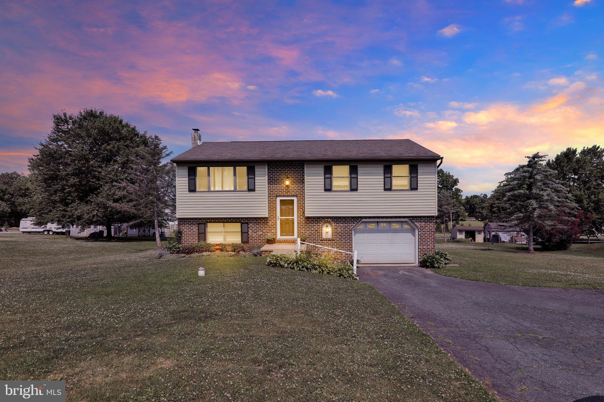
According to K. Hovnanian Homes’ Northwest Ohio Collection listings, new construction in the Grand Rapids Village subdivision was priced at $349,990 for a 2,495-square-foot, five-bedroom plan at 24537 W 3rd Street and $404,990 for a 2,099-square-foot, four-bedroom plan at 24557 W 3rd Street, both listed via Redfin in 2025. Away from that subdivision, Homes.com’s active-listing pool for the ZIP in mid-2026 showed vacant land parcels priced from roughly $150,000 for two- to seven-acre tracts, alongside a small number of finished resale homes, including a one-bedroom, 720-square-foot house near the historic downtown. Movoto’s market data placed the ZIP’s median list price at $299,000 in July 2025, with homes spending a median of 54 days on the market.
- Buying to live in a finished home: the Grand Rapids Village subdivision is the ZIP’s only concentration of new construction; resale stock elsewhere is older and mixed with vacant land, so filtering by subdivision name narrows the search fastest.
- Buying or holding land as an investment: acreage listings cluster on unincorporated township parcels outside the village’s tax jurisdiction and zoning, which changes both holding costs and the entitlement process compared with a village-line parcel.
Schools Serving Grand Rapids, OH 43522
The village of Grand Rapids and most of Grand Rapids Township are served by Otsego Local School District, headquartered in Tontogany, Ohio, a roughly 1,600-student rural district that also serves the villages of Haskins, Tontogany, and Weston. That is confirmed directly by the village government’s own contact listing for Otsego Local Schools. But because the ZIP extends into Providence and parts of Middleton Township in Lucas and Wood counties, some 43522 parcels fall under a different district. One MLS listing for a home inside the village describes it as being in the Otsego School District, while a separate MLS listing for a buildable lot elsewhere in the ZIP describes the parcel as being in the Anthony Wayne Local School District, the district that serves Waterville, Whitehouse, and parts of Providence and Middleton townships. In practice, a 43522 mailing address alone cannot confirm school-district assignment. The parcel’s township governs the district, and it should be verified separately for any specific address.
What school district serves 43522?Most of the village and Grand Rapids Township is in Otsego Local School District. The ZIP’s outlying Lucas County section can fall under Anthony Wayne Local School District. The fastest way to confirm which applies to a specific address is the county auditor’s parcel lookup or the Ohio Department of Education’s district-assignment tool, since MLS listings do not always state it.
Taxes and Which Jurisdiction Applies to Your Parcel
Village residents 18 and older must file an annual Village of Grand Rapids income tax return regardless of whether tax is owed, under an ordinance collected through the Central Collection Agency in Cleveland. The village rate is 1% of qualifying income, reduced to 0.5% for residents who already have municipal tax withheld through their employer elsewhere, with returns due April 15. On top of that municipal tax, the village government lists a separate Otsego Local School District income tax of 1%. Ohio school-district income taxes generally track school-district residency, a boundary set independently of municipal lines, so a household on unincorporated township land inside the Otsego district can still owe the school-district tax even while owing no village income tax.
This means two houses that share a 43522 mailing address can carry very different total local tax exposure: one inside the village pays village tax plus school-district tax, one on nearby township land pays school-district tax alone if it sits within the Otsego boundary, or neither tax if it sits in a different district. Confirming a specific parcel’s village and school-district status with the county auditor before closing is the only reliable way to know which applies.
Does the village require a flood zone permit for property near the river?Yes. The Village of Grand Rapids lists a dedicated Flood Zone Permit among its standard permit forms, separate from zoning and building permits, reflecting the village’s location directly on the Maumee River. Anyone buying or building near the riverbank should confirm flood-zone status with the village zoning inspector before closing.
Getting There
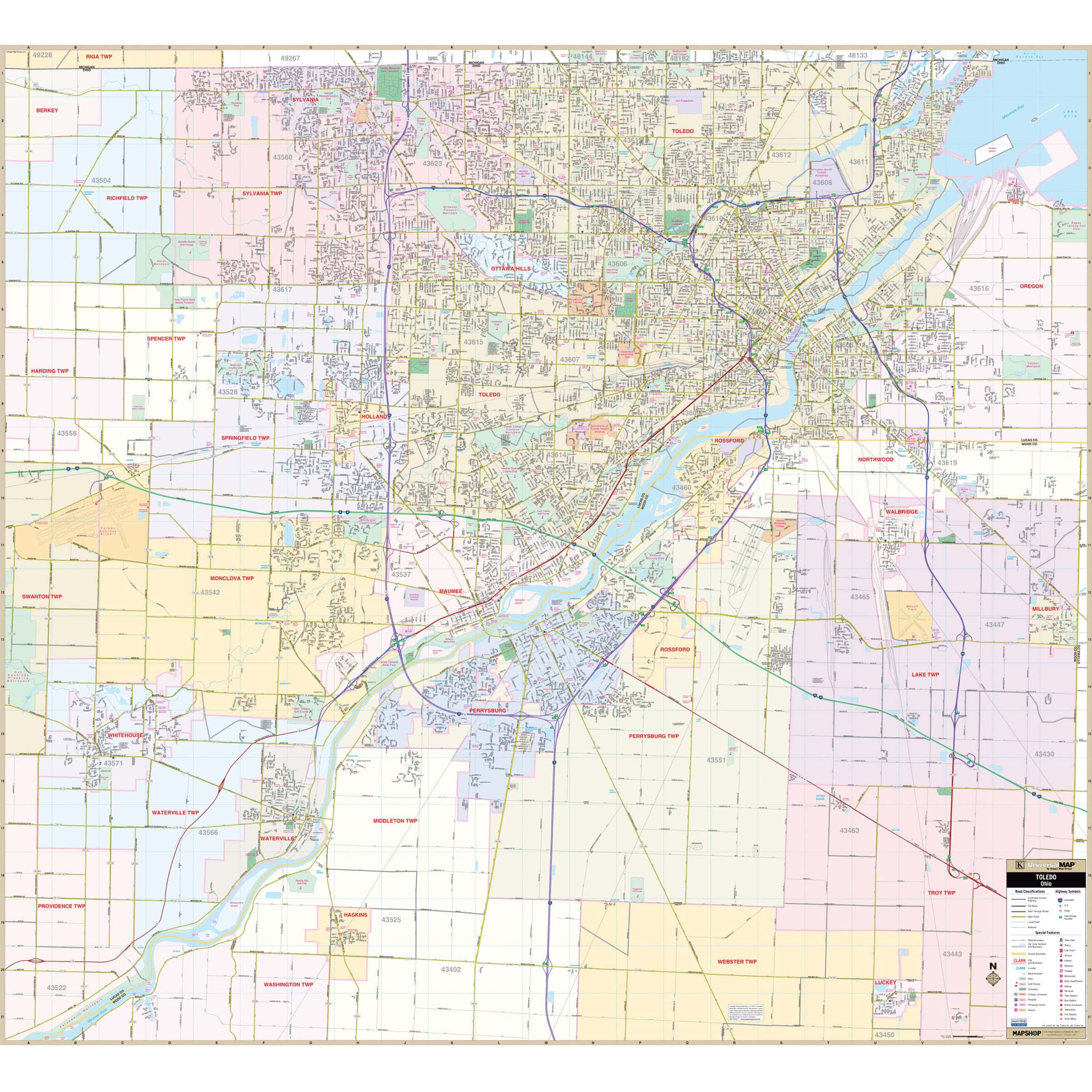
Grand Rapids sits on Ohio Route 65, about 15 miles southwest of downtown Toledo, with State Route 24 running along the opposite riverbank. Toledo Express Airport is the nearest airport with scheduled commercial service; Wood County Airport, a smaller general-aviation field, sits closer to the village itself. Census travel-time data for the ZIP shows most commuters driving under 30 minutes to work.
Comments