
Where Glendora Is, and What Changed in September 2025
Glendora sits at the base of the San Gabriel Mountains in eastern Los Angeles County, roughly 25 to 27 miles from downtown LA depending on which reference point is used. For seven decades that distance meant driving or bus transfers only: passenger rail through the city ended in 1951 when Pacific Electric’s Monrovia–Glendora line shut down.
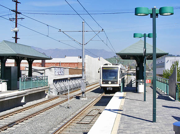
That changed on September 19, 2025, at noon, when Metro opened a 9.1-mile extension of the A Line light rail, adding four stations in Glendora, San Dimas, La Verne, and Pomona. The project is the ninth completed under Metro’s Twenty-Eight by ’28 initiative ahead of the 2028 Olympics.
Riding the New Station
The Foothill Gold Line Construction Authority states a trip from Glendora to Pasadena takes about 22 minutes and a trip to downtown Los Angeles takes about 52 minutes. Parking at the new station runs $3 per 24 hours under Metro’s standard policy. For drivers instead of riders, the Census Bureau’s most recent estimate puts the mean commute time for Glendora workers at 33.1 minutes, across all modes and destinations combined; no dated, sourced figure for rush-hour driving time on a specific freeway route could be verified, so none is stated here.
| Destination | Distance from Glendora | Mode | Travel time | Source |
|---|---|---|---|---|
| Downtown Los Angeles | 25 to 27 mi | Metro A Line | ~52 min | Foothill Gold Line Construction Authority |
| Pasadena | Shorter than the LA trip; no independently sourced mileage found | Metro A Line | ~22 min | Foothill Gold Line Construction Authority |
| Any destination, any mode | — | Mixed (car, transit, etc.) | 33.1 min (mean) | U.S. Census Bureau, ACS 2020–2024 |
Before September 2025, no row in this table existed: driving and buses were the only options between Glendora and downtown LA. The rail figures above are the concrete change; the Census mean-commute figure is the older, mode-blind baseline it now sits alongside.
How do I get from Glendora to downtown Los Angeles without a car?
Since September 19, 2025, the Metro A Line reaches downtown LA directly from the Glendora station in about 52 minutes.
Population: The Reconciled Numbers
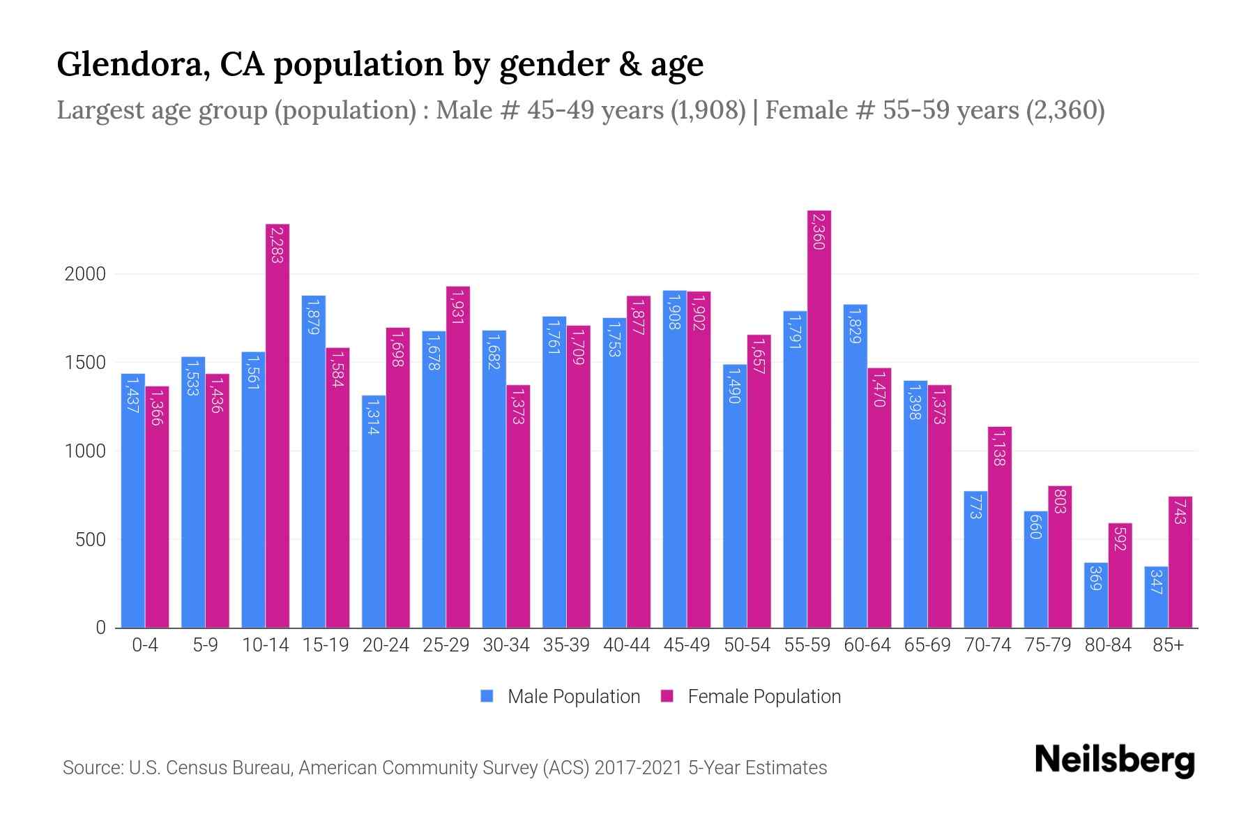
Different sources quote different Glendora population figures because they pull from different vintages. The U.S. Census Bureau’s tracked series resolves this directly.
| Year / vintage | Population | Note | Source |
|---|---|---|---|
| 2010 (Census) | 50,073 | Prior decennial count | U.S. Census Bureau |
| 2020 (Census) | 52,558 | Peak count on record | U.S. Census Bureau |
| 2025 (estimate, V2025) | 49,671 | Down 5.6% from the 2020 estimates base of 52,590 | U.S. Census Bureau Population Estimates |
Glendora grew between 2010 and 2020, then declined by mid-decade. The Census Bureau does not publish a cause for the drop in its population-estimates release, and no other primary source traces one.
Founding, Name, and Route 66
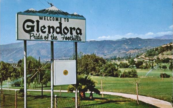
George D. Whitcomb founded the townsite in 1887, coining “Glendora” by combining “glen” with the final syllables of his wife Ledora’s name, according to the Los Angeles Almanac’s county reference page. The city incorporated on November 13, 1911.
- 1887: Whitcomb founds the townsite and names it.
- November 13, 1911: Glendora incorporates as a city.
- 1926 to 1933: U.S. Route 66 runs through downtown Glendora along Foothill Boulevard.
- 1933 to 1964: The route realigns onto what was then Alosta Avenue.
- September 19, 2025: Passenger rail returns to the city for the first time since 1951.
Two Route 66 Alignments Through One City
Few San Gabriel Valley cities carry two separate Route 66 alignments. The relocation followed flood-control dam construction in the mountains above town, which reshaped the drainage the original road had followed. Per the California Historic Route 66 Association, Glendora became the first city in Los Angeles County to rename its stretch of the newer road back to “Route 66” as a street name, a designation that still stands today.
Why is Glendora called the “Pride of the Foothills”?
The nickname refers to the city’s position at the base of the San Gabriel Mountains and predates incorporation; no dated origin document for the phrase itself was located in this search.
Housing Costs and Property Taxes
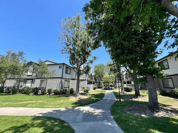
The Census Bureau’s 2020–2024 American Community Survey estimates put Glendora’s median owner-occupied home value at $862,700, median gross rent at $2,254 a month, and median household income at $113,569. Property tax runs meaningfully above the national norm: an assessor-data analysis from Ownwell puts the median annual Glendora tax bill at roughly $5,450 to $5,700, against a $2,400 national median, at an effective rate near 1.54% versus a 1.02% national median.
| Metric | Glendora | Comparison | Source |
|---|---|---|---|
| Median home value | $862,700 | 2020–2024 ACS vintage | U.S. Census Bureau |
| Median gross rent | $2,254/mo | 2020–2024 ACS vintage | U.S. Census Bureau |
| Median household income | $113,569 | 2020–2024 ACS vintage | U.S. Census Bureau |
| Median annual property tax | ~$5,450 to $5,700 | vs. $2,400 national median | Ownwell |
| Effective property tax rate | ~1.54% | vs. 1.02% national median | Ownwell |
The Property-Tax Gap
California’s Proposition 13 caps the general property-tax rate near 1% of assessed value statewide, yet Glendora’s effective rate lands above 1.5% once voter-approved local bonds and assessments are added. That gap between the statutory base rate and the actual bill homeowners see is worth knowing before comparing sticker home prices between cities.
Crime Data: Violent vs. Property
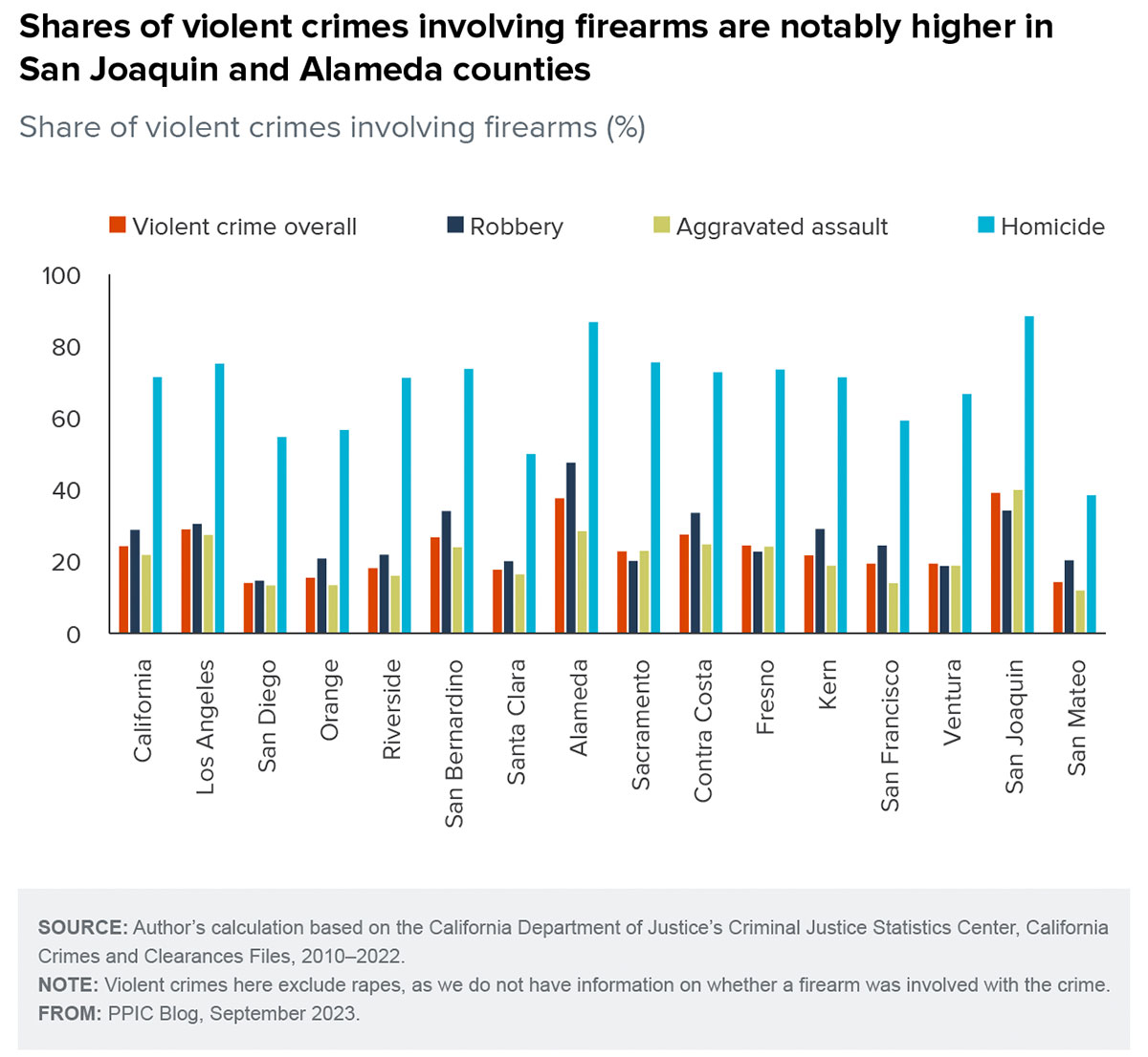
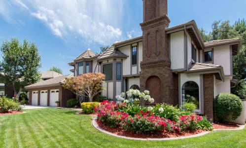
A widely repeated claim describes Glendora as having one of the lowest crime rates in the county or state. FBI Uniform Crime Report data, compiled through two independent trackers, only partly supports that.
| Reporting year | Violent crime rate (per 100k) | Property crime rate (per 100k) | Total vs. national | Source |
|---|---|---|---|---|
| 2022 (FBI UCR) | 272.5 | ~2,286 | +10.09% | HomeSnacks |
| 2024 (FBI UCR) | 272 (−26.3% vs. national) | 2,286 (+17% vs. national) | ~+10% | AreaVibes |
The violent-crime figure holds essentially flat across both reporting years while property crime is the consistent driver of the above-average total.
Is Glendora a safe place to live?
By FBI data, violent crime runs well below the national rate in both the 2022 and 2024 reporting years; property crime runs above it in both years, which keeps the overall crime index above the national average despite the low violent-crime figure.
Wildfire Risk and Fire Hazard Zones
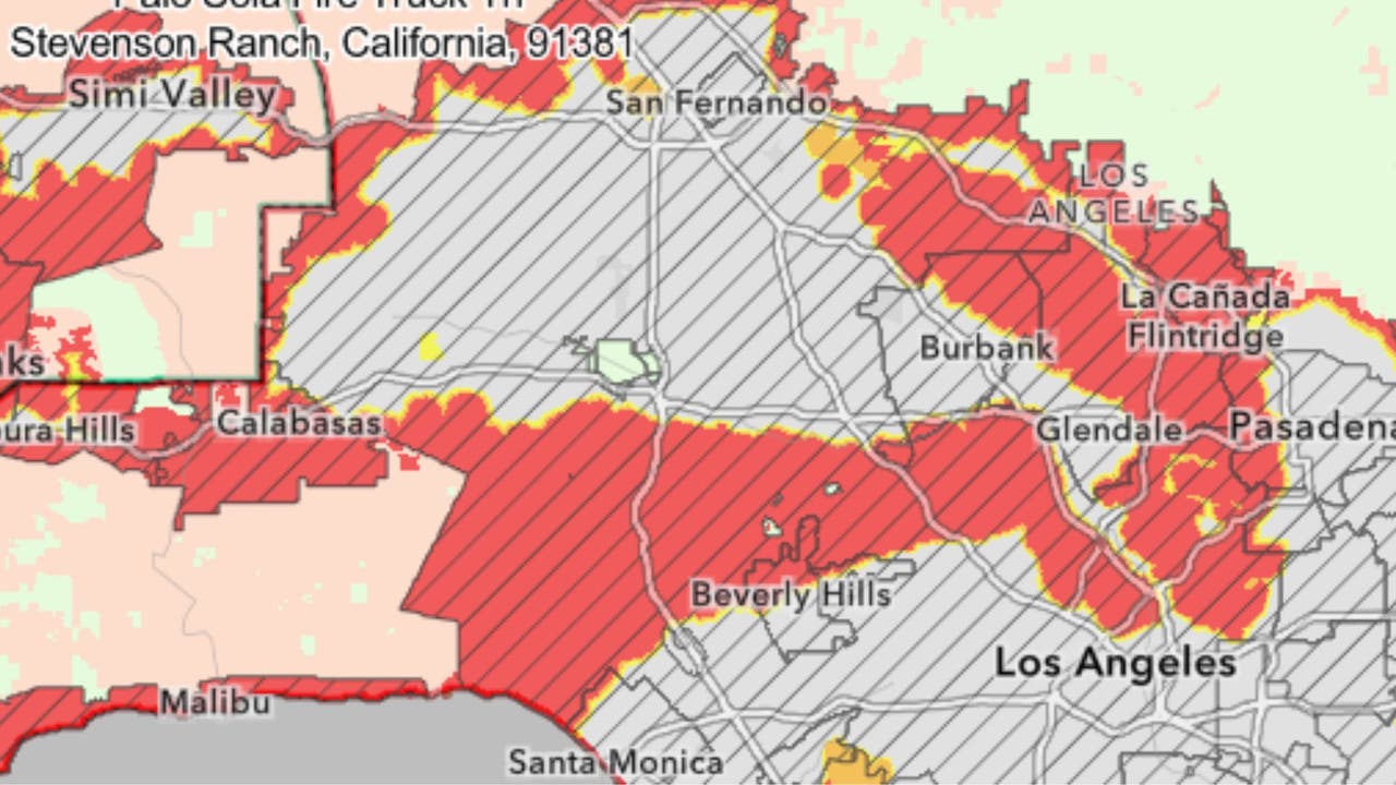
Glendora borders the Angeles National Forest, and state hazard mapping treats a meaningful share of the city’s land accordingly. An update the City of Glendora published on March 25, 2025 on CalFire’s revised Fire Hazard Severity Zone maps reported 5,149 acres designated “very high,” 578 acres “high,” and 555 acres “moderate,” with 27.3% of the mapped area falling into the very-high category, a 55% increase in hazard acreage over the prior map. The city had 120 days from that date to adopt the new zones by ordinance.
Properties in a high or very-high zone are subject to disclosure requirements on sale and, under state law effective July 1, 2021, must show documentation of a compliant defensible-space inspection before escrow closes.
Is Glendora in a wildfire zone?
Parts of the city, mainly the foothill-adjacent wildland areas, carry a “very high” Fire Hazard Severity Zone designation as of the March 2025 CalFire update, a hazard classification based on 30-to-50-year fire behavior modeling rather than a same-year forecast.
Schools and the Village
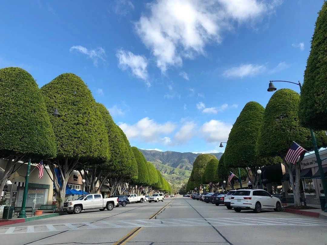
Glendora is served by Glendora Unified School District, and its commercial center, known locally as the Village, runs along Glendora Avenue with restaurants, shops, and a monthly farmers market. No dated, primary-sourced school-by-school rating data was located during this search, so none is stated here.
Parks and Recreation
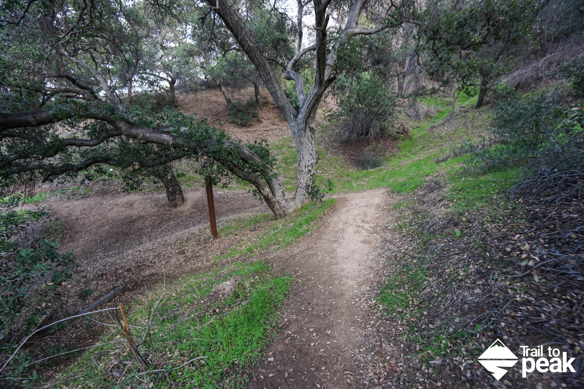
The city maintains several named parks in the foothills, including South Hills Park and Big Dalton Canyon Park, both adjacent to trailheads into the San Gabriel Mountains. The Rubel Castle, a hand-built structure using recycled materials and salvaged rail-era artifacts, sits north of the historic Route 66 alignment.
Comments