
What “64024” Covers That “Excelsior Springs” Doesn’t
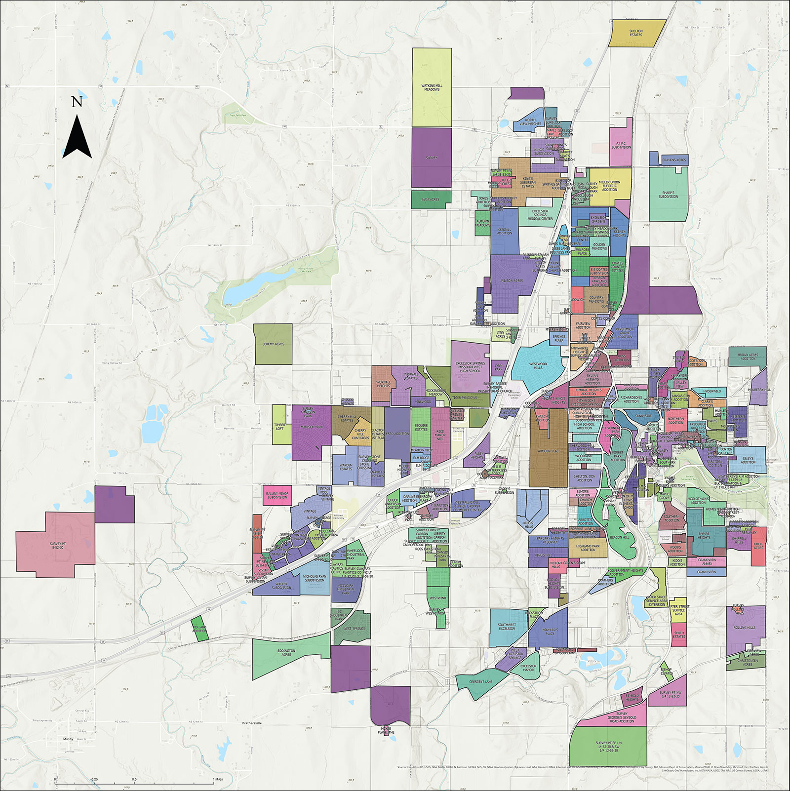
A ZIP code is a USPS delivery route. It is not drawn to match a city’s legal limits, and in this case it doesn’t. The city of Excelsior Springs occupies 10.43 square miles of land, a figure the U.S. Census Bureau reports directly for the incorporated place. ZIP 64024 is built around that city but extends past it into unincorporated Clay and Ray County land. If your address is inside that outer ring, your mail still routes through “Excelsior Springs,” but your city government, school district, and even your county are not automatically the ones the city uses.
| Metric | City of Excelsior Springs (Census place) | ZIP 64024 (USPS delivery area) |
|---|---|---|
| Land area | 10.43 sq mi | Larger than the city; the Census Bureau does not publish a single ZCTA land-area figure through the tools available for this page |
| Population | 10,553 (2020 Census, exact) | Roughly 15,000 to 16,400 across published vintages; no single figure is authoritative without stating the year and method |
| Counties | Split across Clay and Ray | Same split, but the ZIP’s outer edges reach farther into each county’s unincorporated area |
The gap between the two right-hand cells is the point: a page, a mailing list, or a market analysis that treats “64024” and “Excelsior Springs” as interchangeable is measuring two different areas.
Is all of ZIP 64024 inside the city of Excelsior Springs?No. The ZIP is a USPS delivery area layered over the city and the unincorporated Clay and Ray County land around it; the city’s own boundary is smaller and is the 10.43-square-mile figure the Census Bureau reports.
Why Population Figures for 64024 Disagree
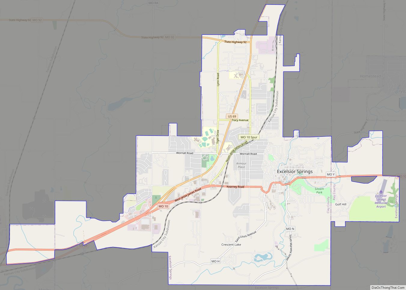
Start with the one number that isn’t in dispute: 10,553 people, counted at the city level in the 2020 Decennial Census. Once you move to ZIP-level figures, published totals for 64024 vary by several thousand people. That’s not an error on any one site’s part; it reflects three different counting methods that don’t produce the same number by design.
| Method | What it measures | Why it differs |
|---|---|---|
| Decennial Census count | A full headcount at a fixed date (April 1, 2020) | Exact for that date, but ages as years pass |
| ACS 5-year rolling estimate | An average built from surveys collected over a 5-year window | Smooths short-term change, and lags the current year by design |
| Vendor current-year projection | A private estimate extrapolated forward from the above | Depends entirely on the vendor’s own growth-rate assumption |
None of the three is the “real” number in isolation. A figure quoted without its vintage attached is not verifiable, and that is true of most of the population figures circulating for this ZIP code.
Why do different websites show different population numbers for 64024?Because they’re pulling from different Census products, a fixed 2020 headcount, a rolling 5-year survey average, or a private projection, and each measures a slightly different thing at a different point in time.
Two Counties, Two Different Tax Bills
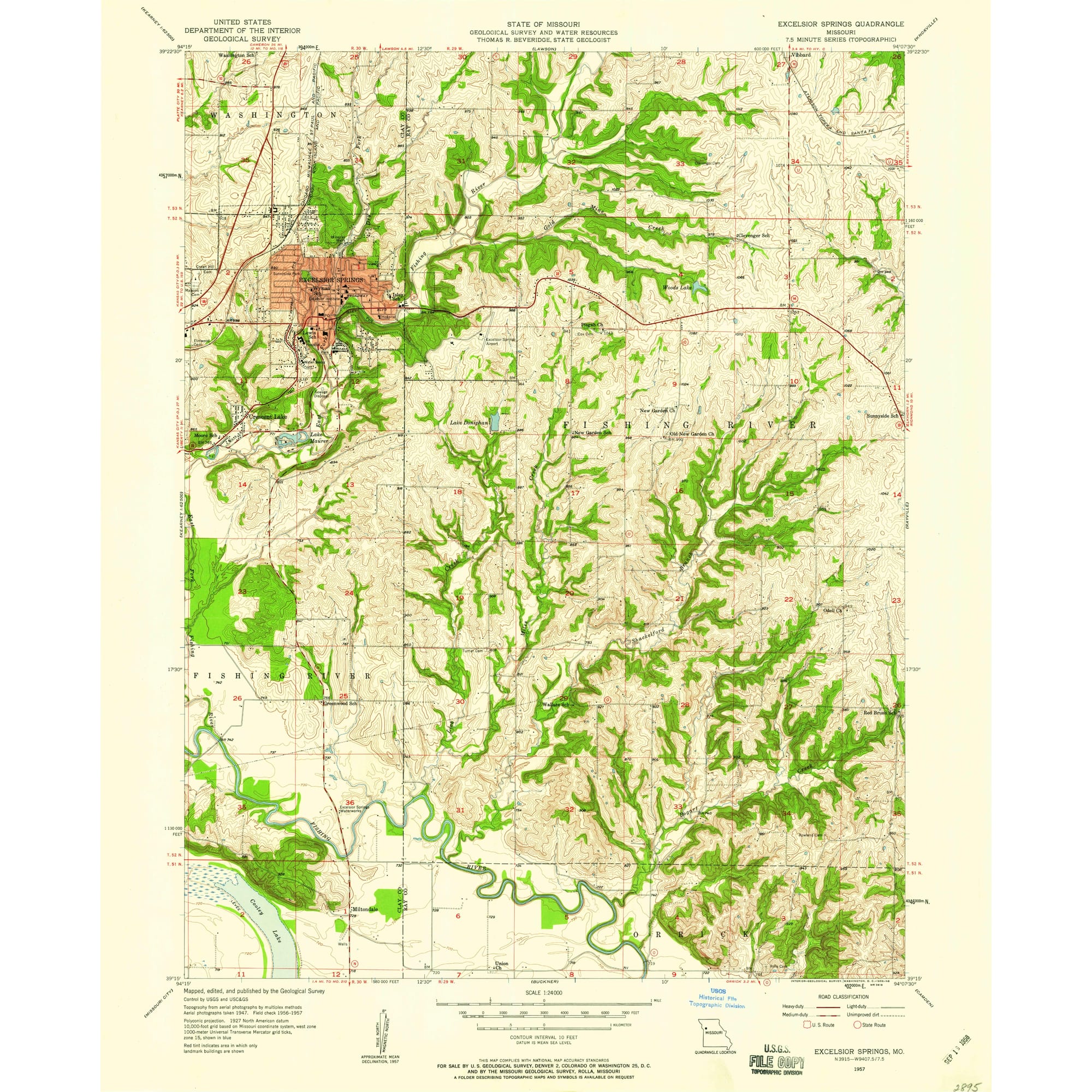
Excelsior Springs sits across the Clay and Ray county line, and the Missouri Department of Revenue does not blend the two into one rate. Its own local sales-tax rate schedule lists Excelsior Springs as two separate tax-jurisdiction codes: one for the Clay County portion, stacked with the Kansas City Zoological District tax, and a second for the Ray County portion, stacked with the Ray County Ambulance District tax instead.
| Component | Clay County side | Ray County side |
|---|---|---|
| State rate | 4.225% | 4.225% |
| County rate | 2.5% (Clay County) | Different county rate applies |
| City rate | 3.5% | 3.5% |
| Special district | 0.5%, tied to the Kansas City Zoological District | Replaced by the Ray County Ambulance District rate instead |
| Commonly quoted combined total | 10.725% | Differs from the Clay-side total; confirm by exact address |
The combined rate most often quoted for Excelsior Springs, 10.725%, is the Clay County figure. If a specific address falls on the Ray County side, the special-district component changes, which changes the total. For a purchase, a payroll setup, or a business registration, the address, not the city name, is what determines the rate.
Does my sales tax rate change based on which county my address is in?Yes. Missouri’s Department of Revenue tracks the Clay County and Ray County portions of Excelsior Springs as separate tax codes with different special-district add-ons, so the total rate is not identical on both sides of the line.
Schools: Verify Before You Assume One District

Excelsior Springs 40 is the city’s own district. Independent school-data sources describe Liberty 53, based in the nearby city of Liberty, as a neighboring district, and Kearney R-I serves the adjacent Kearney area. Whether either district’s attendance boundary actually extends into the 64024 ZIP area itself, rather than simply lying nearby, is not something this page can confirm through the tools available for it.
If a specific school district assignment matters for a purchase or enrollment decision, confirm it directly against the district’s own enrollment-boundary map or by calling the district office. Don’t rely on a ZIP-level database’s inferred “primary district” field alone.
Geography, Adjacent ZIPs, and What’s Missing
The facts that hold up under direct sourcing stop at the city level: the place name, the two-county split, and the Kansas City metro association. A clean numeric comparison against neighboring ZIP codes, such as 64060 (Kearney) or 64068 (Liberty), needs the same Census income and housing tables discussed above pulled specifically at the ZIP level, and that pull isn’t confirmable through this pass.
Two concrete next steps close that gap: pull the ZCTA-level American Community Survey tables for 64024, 64060, and 64068 directly from the Census Bureau’s data platform, and cross-check the Clay/Ray county split percentage against the Bureau’s ZCTA-to-county relationship file rather than a third-party estimate.
Comments