
Where East Setauket Is, and Why Two Placenames Confuse the Data
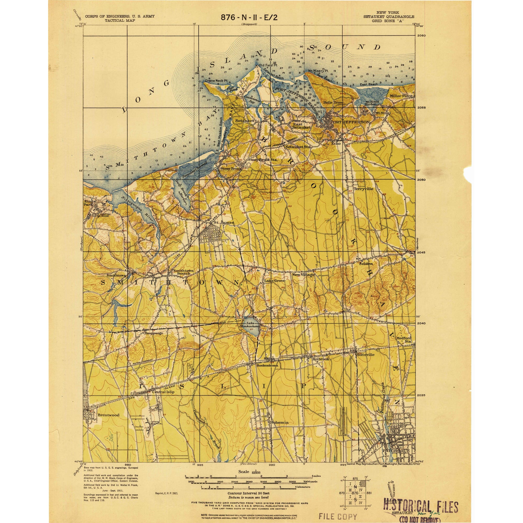
East Setauket sits in northwestern Suffolk County, bordered by Setauket, Stony Brook, and Port Jefferson, on harbors that feed Long Island Sound. It covers 6.02 square miles of land, for a density of 1,826.3 people per square mile, per the Census Bureau.
Before 2020, East Setauket and Setauket were counted together as a single “Setauket-East Setauket” census-designated place. The 2020 Census split that area into two separate CDPs. East Setauket, with 10,998 residents, cleared the 5,000-person threshold the Census Bureau uses to publish a full QuickFacts profile. Setauket, with 3,986 residents in the same count, did not, which is why detailed federal data exists for one place name and not the other, even though most residents still describe the whole area as “Setauket.”
Population and Demographics
| Metric | East Setauket | Source & vintage |
|---|---|---|
| Population | 10,998 | Census Bureau, 2020 Decennial Census |
| Under 18 | 21.0% | Census Bureau ACS, 2020-2024 |
| White alone | 75.8% | Census Bureau ACS, 2020-2024 |
| Asian alone | 10.7% | Census Bureau ACS, 2020-2024 |
| Foreign-born | 11.4% | Census Bureau ACS, 2020-2024 |
| Bachelor’s degree or higher (25+) | 60.9% | Census Bureau ACS, 2020-2024 |
East Setauket’s population skews younger and more foreign-born than a typical outer Long Island hamlet, and its bachelor’s-degree share sits well above most North Shore neighbors, a pattern that lines up with its position next to Stony Brook University’s research and medical campus.
Is East Setauket the same as Setauket? No. They were one CDP until the 2020 Census split them. East Setauket is the larger of the two by population (10,998 versus 3,986) and land area, and it is the only one of the pair large enough for the Census Bureau to publish a standalone detailed profile.
Cost of Living and Real Estate
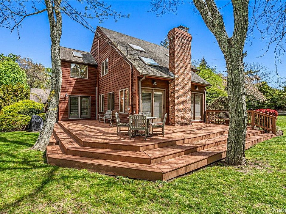
Housing here costs far more than the state as a whole in raw dollars. What most sources miss is how that compares against local income, not just against a statewide average.
| Metric | East Setauket | New York State | Source |
|---|---|---|---|
| Median household income | $151,603 | $85,974 | Census Bureau / Data USA (ACS 2024) |
| Median home value | $637,800 | $423,800 | Census Bureau ACS 2020-2024 / Data USA ACS 2024 |
| Median gross rent (monthly) | $2,178 | — | Census Bureau ACS, 2020-2024 |
| Income-to-home-value ratio | 4.2x | 4.9x | Calculated from the rows above |
| Owner-occupied rate | 88.2% | — | Census Bureau ACS, 2020-2024 |
Home values here run 4.2 times local median household income, against 4.9 times statewide. A monthly owner cost with a mortgage of $3,856 works out to about 30.5% of the area’s median household income, and the median rent works out to about 17.2% of that same income. Both fall inside conventional affordability guidelines despite the area’s high sticker prices.
Schools: Three Village Central School District

Three Village Central School District, headquartered in East Setauket, formed in the 1960s through the merger of the Setauket and Stony Brook school districts, with land donated by philanthropist Ward Melville, per the district’s own site. The district runs eight schools and, as of the 2023-2024 school year, employed 492.05 full-time-equivalent classroom teachers against a student-teacher ratio of 11.56, according to National Center for Education Statistics data.
What school district serves East Setauket? Three Village Central School District, which also serves Setauket, Old Field, Poquott, and most of Stony Brook.
History and Character: the Culper Ring and the Brewster House
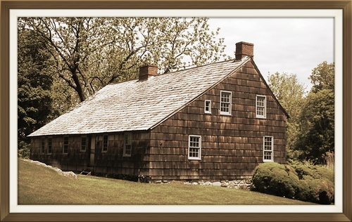
The Culper Spy Ring, George Washington’s Revolutionary War intelligence network, is usually associated with neighboring Setauket, and most East Setauket profiles skip it entirely as a result. The connection sits closer to home than that framing suggests. The Brewster House, built around 1665 at 25 Brewster Lane in Setauket, sits roughly 150 feet from one of the coves that whaleboat captain Caleb Brewster used to row intelligence across Long Island Sound to Connecticut, according to the Ward Melville Heritage Organization, which now owns and operates the house. Caleb’s cousin Joseph ran the property as a tavern during the war, entertaining British troops inside while his relative worked against them.
Commute to New York City

The Port Jefferson Branch of the Long Island Rail Road serves East Setauket through the nearby Stony Brook station. Most weekday trains require a change at Huntington or Jamaica before continuing to Penn Station, and published one-way trips run roughly 1 hour 30 minutes to just over 2 hours depending on the connection, per MTA’s published timetable. Branches further south on Long Island offer more direct service into the city, a real tradeoff worth weighing against North Shore character and school quality.
How far is East Setauket from New York City? About 55 miles by road. By LIRR, plan for 1.5 to 2 hours each way, most trips requiring one change of train.
Climate and Coastal Risk Considerations
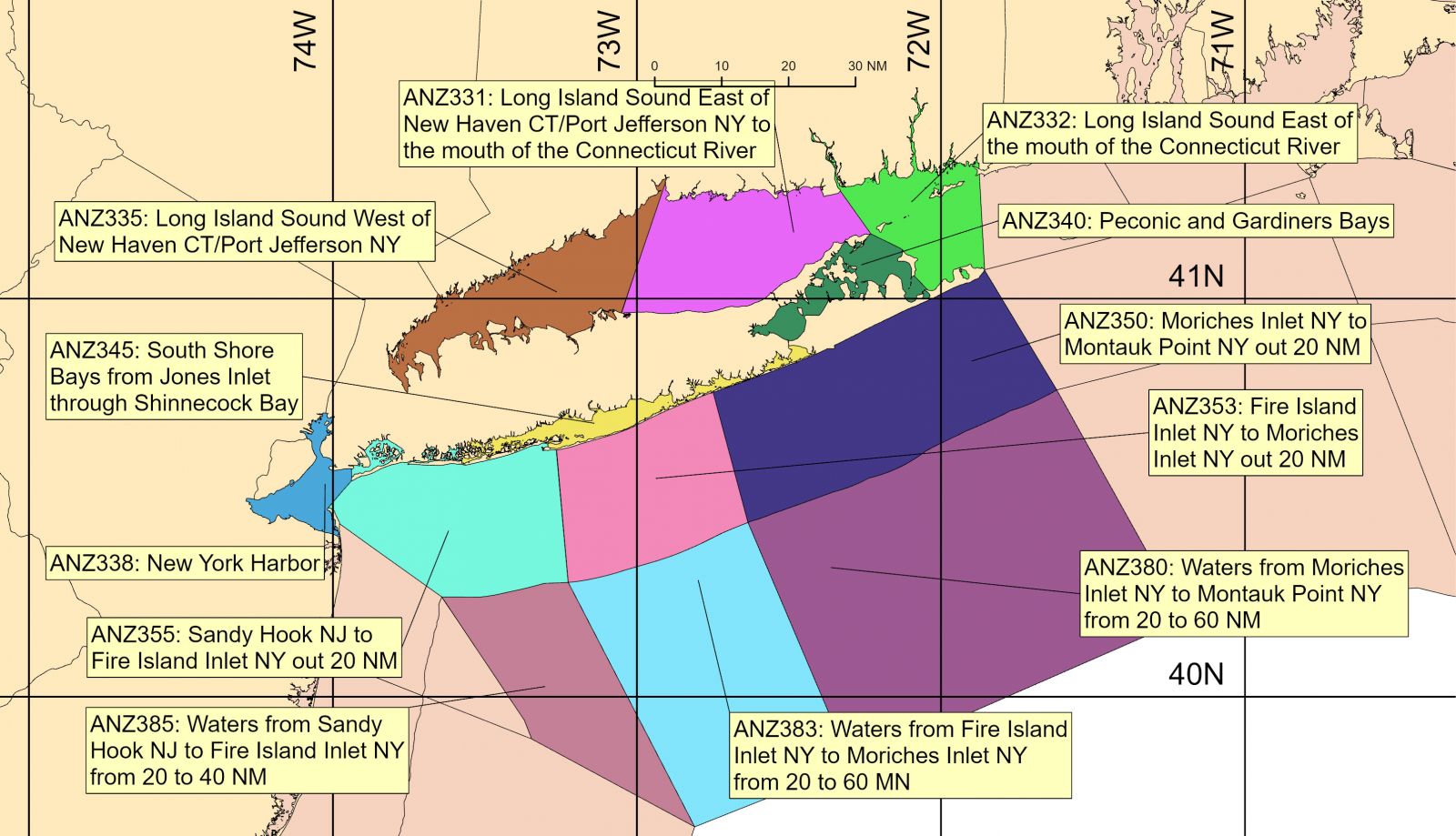
East Setauket fronts Long Island Sound harbors on the North Shore, a different flood-risk profile from the barrier-island South Shore communities that carry most of Long Island’s mapped high-risk flood zones, per Suffolk County’s emergency management program, which maps expected flood zones by hurricane category and identifies emergency shelters accordingly. FEMA’s Flood Insurance Rate Maps apply the same 1%-annual-chance standard here as everywhere else, and mortgage lenders require flood insurance in any zone that standard flags as high-risk. No single public source publishes one CDP-wide flood-zone designation for East Setauket, since zone boundaries can shift block by block even within a lower-exposure hamlet; anyone evaluating a specific property should check it directly against FEMA’s Flood Map Service Center.
Who East Setauket Fits, and What’s Nearby
East Setauket sits between Setauket, Stony Brook, and Port Jefferson, all served by overlapping school and transit infrastructure. It suits buyers who want Three Village schools and North Shore character without Old Field’s price ceiling. It does not suit anyone needing a one-seat rail trip into the city.
Comments