
Is Porter, Texas a City?
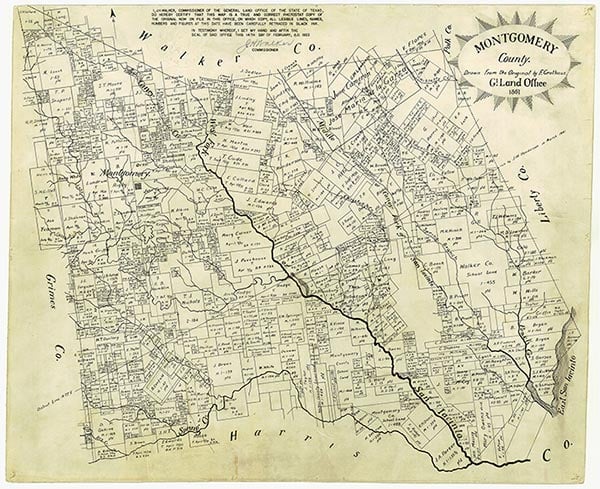
No. Porter is an unincorporated community. Montgomery County handles the administrative duties a city council would otherwise handle, because there is no municipal government to hand them to. The boundary is a convention built around ZIP code 77365 rather than a legal city line, and New Caney Independent School District uses that same ZIP code to define its Porter attendance zone.
Porter briefly outranked its neighbors on paper too. Texas State Historical Association records show the community served as the Montgomery County seat from 1896 to 1915, when a post office under the name “Porters” had already been running since 1892 and the town’s population sat around 150. That role moved to Conroe generations ago, and current relocation guides tend to skip it entirely.
For a buyer, zoning, permitting, and code enforcement for a Porter address run through Montgomery County’s Precinct 4 and county offices, since no city planning department exists to handle them.
Is Porter, TX an incorporated city? No. It is an unincorporated community in Montgomery County. Local administration runs through Precinct 4, and the commonly used boundary is ZIP code 77365, not a legal city limit.
What Living Here Costs: Porter vs. Kingwood, The Woodlands, and Houston
| Area | Median sale price | Recent trend | Property tax layer |
|---|---|---|---|
| Porter (ZIP 77365) | $295,000 (June 2025) | Down 17.7% year over year; median 48 days on market | County and ISD taxes plus a district-specific MUD rate; Porter MUD’s 2023 rate was $0.42 per $100 of value |
| Kingwood, Houston | $360,000 (September 2025) | Up 5.3% year over year; median 28 days on market | Redfin files Kingwood under Houston; confirm whether city tax or a local MUD applies to a specific address |
| The Woodlands | $640,000 (3 months ending May 2026) | Up 10.3% year over year; median 23 days on market | Confirm the current assessment structure per address, since it differs from a standard Montgomery County MUD |
| Houston metro (overall) | $350,000 (3 months ending May 2026) | Up 1.4% year over year; median 46 days on market | Reference point only; tax and MUD status vary by specific address across the metro |
Source: Redfin per-area housing-market pages.
The 2025–2026 numbers narrow the “affordable suburb” pitch to something checkable: Porter’s median sale price sat about $65,000 under Kingwood’s and less than half of The Woodlands’. Neither figure includes the MUD tax layer the next section prices out with an actual district.
The MUD Tax Layer
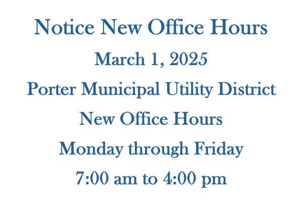
A municipal utility district, or MUD, is a special taxing entity that funds the water, sewer, drainage, and road bonds for a subdivision before a city exists to do it. Porter’s subdivisions are served by several of these, listed separately by the Texas Comptroller: Porter Municipal Utility District, its Valley Ranch and Hendricks defined areas, and more than a dozen other Montgomery County MUDs nearby.
Porter MUD’s 2023 tax notice set its rate at $0.42 per $100 of assessed value, adding $703 a year to an average taxable homestead value of $167,390 within that district, on top of county, school, and any other applicable taxes. Rates on other Montgomery County MUDs in the area range roughly $0.55 to $0.83 per $100, based on published 2023 to 2025 district tax notices, so the added layer varies by district. A buyer should confirm the specific MUD name and rate before comparing a Porter listing’s total tax bill to a Kingwood or Woodlands listing’s.
How much do MUD taxes add to a typical tax bill in Porter? Porter MUD’s 2023 rate was $0.42 per $100 of taxable value, adding $703 a year to an average taxable homestead in that district. Other nearby Montgomery County MUDs run up to roughly double that rate, so the figure is district-specific.
New Caney ISD’s Rating: What It Means for Resale

New Caney ISD, the sole public school district serving Porter, received a C rating from the Texas Education Agency for both the 2023-24 and 2024-25 school years, scoring 72 and 75 out of 100 points. In 2025, 41% of Texas districts earned a B and 30% earned a C, placing New Caney ISD in the statewide middle. Campus ratings vary within a district and change yearly, so check a specific school on TXschools.gov rather than assume from the district’s overall letter grade.
Neighborhoods: The Highlands, Valley Ranch, Oakhurst, and Northcrest Ranch
| Neighborhood | What it is | Available resale signal |
|---|---|---|
| The Highlands | Master-planned community with Neo Traditional and modern-farmhouse-style homes, one of Porter’s newest large developments | Independent price data not separately published; treat builder pricing as list price, not a resale comparable |
| Valley Ranch | Master-planned community carrying its own named MUD defined area for utility and bond debt | Listed separately by the Texas Comptroller as “Porter MUD, Valley Ranch Defined Area” |
| Oakhurst at Kingwood | Established subdivision on the Porter side of the boundary, despite the Kingwood name | Median sale price $384,000 in January 2026, down 15.2% year over year; median 94 days on market (Redfin) |
| Northcrest Ranch | Smaller established subdivision named in local relocation guides | Independent resale data not found in this research pass; open item for further sourcing |
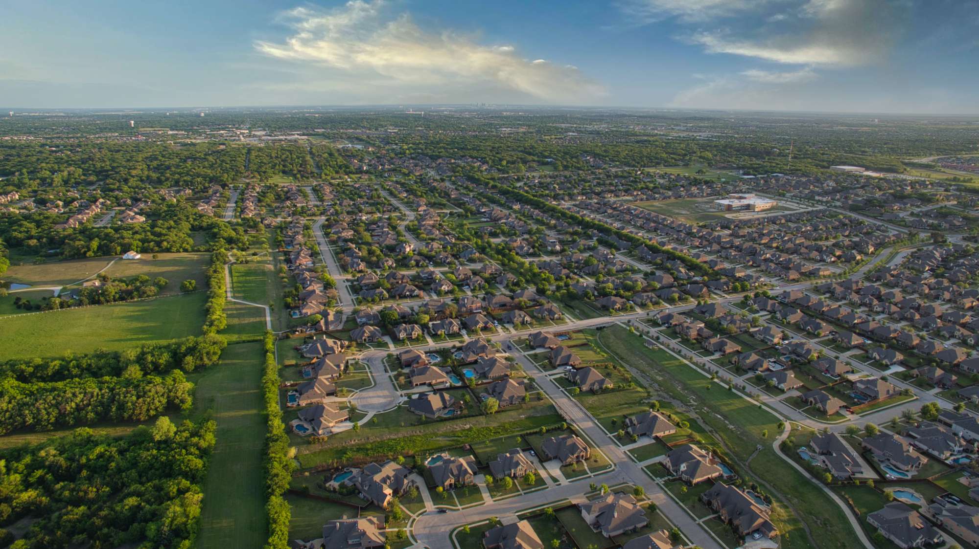
The Highlands and Valley Ranch are the two names doing most of the marketing work in Porter listings. Valley Ranch carries its own MUD defined area with a specific, checkable tax rate; The Highlands is a builder-branded community whose amenities are still being built out, which matters for anyone comparing an “amenities coming soon” listing to one already fully built.
Flood Risk
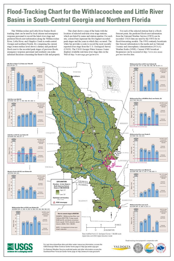
Porter sits along the West Fork San Jacinto River. FEMA flood zones run from minimal-risk B, C, and X designations to high-risk A and V zones, and Montgomery County’s floodplain administration recommends every buyer look up the specific parcel, not the general area, on the FEMA Flood Map Service Center before assuming risk from a neighborhood’s name.
Neighboring communities show how much that risk varies at short distances. Redfin’s climate-risk data, sourced from First Street, shows 51% of Kingwood properties facing severe flood risk within 30 years against 11% in The Woodlands, a nine-fold difference between two suburbs a few miles apart. A public aggregate figure for Porter’s own ZIP code was not available from a working source at the time of writing. Check a specific parcel through FEMA’s Map Service Center or First Street’s property-level lookup before writing an offer.
Is Porter, TX flood-prone? It varies by specific address rather than by a single areawide answer. Neighboring Kingwood shows a 51% severe-flood-risk share over 30 years against The Woodlands’ 11%, so check a parcel’s FEMA zone individually.
Lake Houston Wilderness Park: Location and Size

The park most Porter guides mention sits a few miles away, within New Caney’s mailing address, several minutes north of Porter’s own subdivisions. The State of Texas bought 4,584.22 acres from Champion Paper Company in 1981 and added 202.4 acres from the former Peach Creek Girl Scout Ranch in 1990, for a combined 4,786.62 acres that opened for day use in 1992 as Lake Houston State Park. The City of Houston took over the property on August 25, 2006, renamed it Lake Houston Wilderness Park, and now runs it through the Houston Parks and Recreation Department, despite the park sitting near the Harris-Montgomery county line.
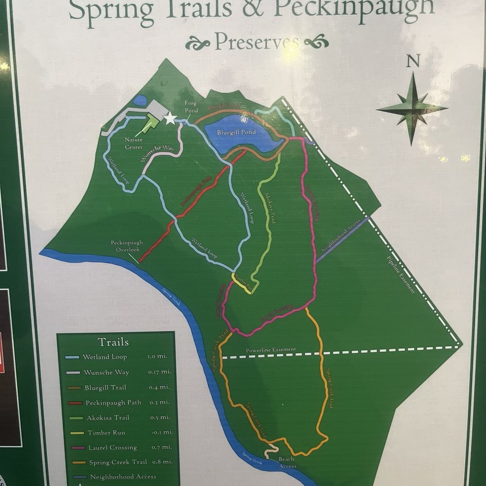
The park carries over 20 miles of hiking, biking, and paddling trails plus more than 13 miles of separate equestrian trails, cabin and campsite rentals, and a $3 day-use admission fee for ages 13 to 64.
For Buyers, Sellers, and Investors: What Changes by Role

- Buyers should confirm the specific MUD name and current rate before comparing a listing’s total tax bill to a Kingwood or Woodlands equivalent, and should run the parcel through FEMA’s Map Service Center rather than trusting a subdivision’s brand name.
- Investors are looking at a market where homes took a median of 48 days to sell in June 2025, slower than Kingwood’s 28 days, which combined with Porter’s lower entry price points to a market absorbing more inventory at a discount rather than moving quickly at a premium. The MUD tax layer reduces net yield relative to a comparably priced home outside a district, so it belongs in any cash-flow model before the purchase.
- Sellers and agents pricing a Porter listing against Kingwood or Woodlands comparables can quote the actual 2025–2026 price gap directly, since these figures now make the comparison checkable by anyone reading the listing.
Is Porter a good rental-investment market right now? Porter’s median sale price of $295,000 in June 2025 sat well under Kingwood’s $360,000 and The Woodlands’ $640,000, and homes moved in a median of 48 days, but the MUD tax layer cuts into net yield and varies by district, so a specific address’s total tax bill needs checking before running a return calculation.
Comments