
What Land Costs in 89020 Right Now
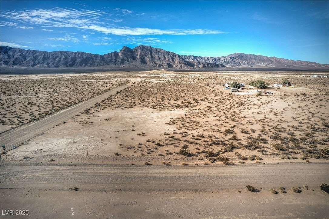
A 14.97-acre parcel at 870 S Nevada Highway 373 lists for $160,000 with a commercial well and 9.69 acre-feet of water rights included, about $10,687 an acre (Redfin). A 38.2-acre unimproved parcel lists for $95,400, about $2,498 an acre; a 9.78-acre unimproved parcel lists for $45,000, about $4,601 an acre (Land.com).
| Parcel tier | Typical $/acre | What explains the tier |
|---|---|---|
| Bulk unimproved, 30+ acres, no well conveyed | ~$2,500 | No water/utility infrastructure; buyer bears full development cost |
| Mid-size unimproved, 5–15 acres, no well conveyed | ~$4,600 | Smaller lot size raises per-acre cost even without utilities |
| Small lot, well and water rights conveyed | ~$10,700 | Buyer skips drilling, permitting, and water-rights research |
The jump from unimproved to well-equipped land is the single biggest line item a buyer can price in before making an offer, ahead of lot size or distance to the highway.
Why Prices Vary So Much on Nearly Identical Acreage
Water Rights and Well Status
The Amargosa Desert sits in Hydrographic Basin 14-230, a groundwater basin the Nevada State Engineer designated in 1965 and again in 1979 (NDWR pumpage inventory). In water year 2019, irrigation pumpage totaled 13,909 acre-feet against 20,355 acre-feet already appropriated, meaning the basin is close to fully committed for large-scale water use. That matters more for farmland than for a house lot: under NRS 534.180, a single-family domestic well pumping no more than 2 acre-feet a year generally does not need a separate water-right permit, though every well still needs a state-licensed driller under NRS 534.160, and Nevada law reserves a specific waiver process (NAC 534.4415) for domestic wells in certain designated areas. A buyer planning anything beyond one household, a second dwelling, livestock beyond household use, irrigation, is the one who needs to check with the Nevada Division of Water Resources before assuming the well will cover it.
Do I need water rights to build a home in Amargosa Valley? For a single-family home using less than 2 acre-feet a year, a domestic well generally doesn’t require a separate water-right permit, but it still requires NDWR-licensed drilling and, in some designated areas, a waiver. Confirm the specific parcel’s status with NDWR before closing.
Zoning and Land-Use Designation
Nye County’s RH-9.5 rural-homestead zone is written into county ordinance specifically for the Pahrump Regional Planning District, with a 9.5-acre minimum lot size (Nye County Ordinance 590). Amargosa Valley has no equivalent adopted zoning ordinance; land use is instead guided by the 1994 Nye County Comprehensive Plan and the 2009 Amargosa Valley Area Plan, a policy document rather than a parcel-by-parcel zoning code (adopted Area Plan). That’s the real basis for listings advertising “no zoning restrictions”: accurate as far as it goes, but building permits, septic and well approvals, and future area-plan updates still apply, and a small number of Amargosa Valley parcels do carry specific commercial designations through the Assessor’s records.
| Designation | What it means for the parcel | Buyer implication |
|---|---|---|
| No adopted zoning ordinance (most of Amargosa Valley) | Governed by area-plan policy goals, not a zoning code | Wide use flexibility, but building/septic/well permits still apply |
| Amargosa Desert designated groundwater basin | Large-scale water use needs a water-right permit; basin near full appropriation | Farming or commercial water use needs early NDWR review |
| Adjacent to federally managed land | Restrictions apply on the federal parcel itself | Confirm boundaries against federal land maps before closing |
Buying under an open designation means fewer coded use restrictions than Pahrump’s zones, not zero.
Does Amargosa Valley have a zoning ordinance like Pahrump’s RH-9.5? No. RH-9.5 applies only to Nye County’s Pahrump Regional Planning District. Amargosa Valley is governed by area-plan policy rather than a parcel-specific zoning code.
Road Access and Utility Distance
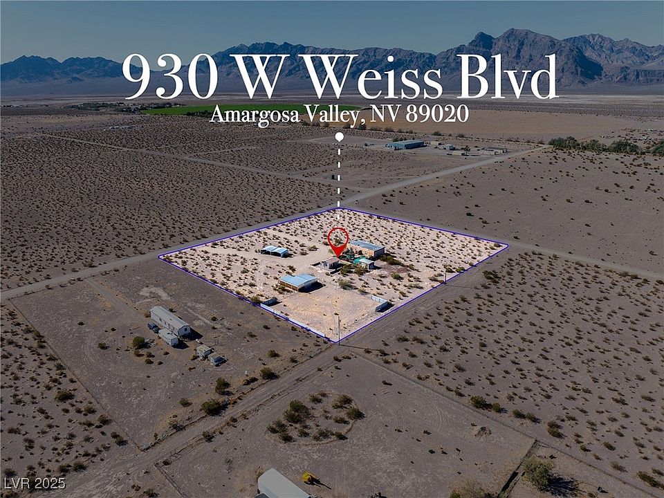
A 9.63-acre parcel at 743 Hilda Jane Way had a well drilled 300 feet deep and a 1,250-gallon septic system installed in April 2025, and still requires a generator because no grid power currently reaches the property (Redfin). Verified water and septic infrastructure didn’t, by itself, deliver power; ask for the nearest pole or transformer distance in writing before assuming any parcel is build-ready on day one.
Financing Land Here (Owner-Carry vs. Traditional)
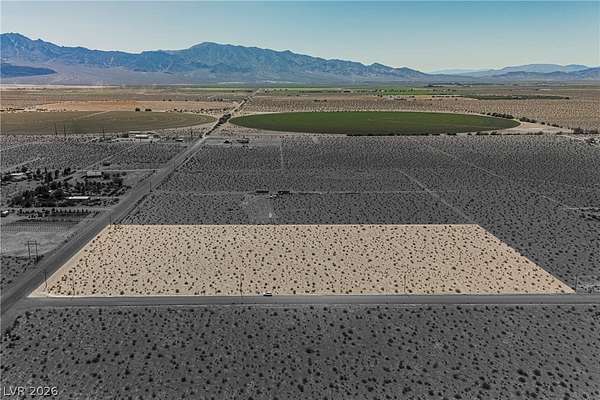
Raw desert acreage is a difficult asset for a conventional mortgage: most residential lenders underwrite against an existing structure, and vacant land financing is a narrower, pricier niche most buyers here work around with the seller directly. A 38.85-acre Amargosa Valley parcel listed with owner-carry financing has the buyer install a private well and septic at their own expense after closing (Vylla): the seller finances the land, the buyer still bears the development cost. Anyone comparing owner-carry terms across parcels should ask for the interest rate, balloon date, and whether water rights are conveyed at signing or only after full payoff.
Is owner financing common for land in Amargosa Valley? It shows up regularly in current listings as an alternative to a conventional mortgage, which raw unimproved land rarely qualifies for. Terms vary by seller and should be read carefully for interest rate and balloon structure.
Signs a Parcel Will Cost More Than the Listing Price
- “Utility distance to be verified by buyer.” This phrase means the seller hasn’t priced the power hookup; budget for it separately.
- No mention of water rights or well status at all. Silence on this point, given how often nearby listings do mention it, is itself a signal to ask directly.
- No recent survey. Desert parcels platted decades ago sometimes have boundary markers that no longer match GPS coordinates; a fresh survey avoids a fence-line dispute later.
- Back taxes or road-maintenance assessments. Check the Nye County Assessor record before offering, not after.
Amargosa Valley vs. Pahrump vs. Beatty
| Community | Distance to Las Vegas | Approx. population | Land price signal |
|---|---|---|---|
| Amargosa Valley | 88 mi | ~1,500 (unincorporated township) | $212K–$250K land median, Redfin (two cuts, see callout above) |
| Pahrump | ~60 mi | ~36,438 | $400K land-and-home median, Redfin (mixed listing type, not pure land) |
| Beatty | ~100 mi | ~1,000 | No independently sourced pure-land figure found – open research task |
Sources: distances and population from Nye County’s official communities page; Redfin figures linked above. Pahrump’s higher median reflects services, population, and a mixed land-and-home listing pool, not a like-for-like comparison to raw acreage.
How far is Amargosa Valley from Las Vegas and Pahrump? About 88 miles from Las Vegas and 35 miles from Pahrump, per Nye County’s own community page.
Local Context That Affects Land Use
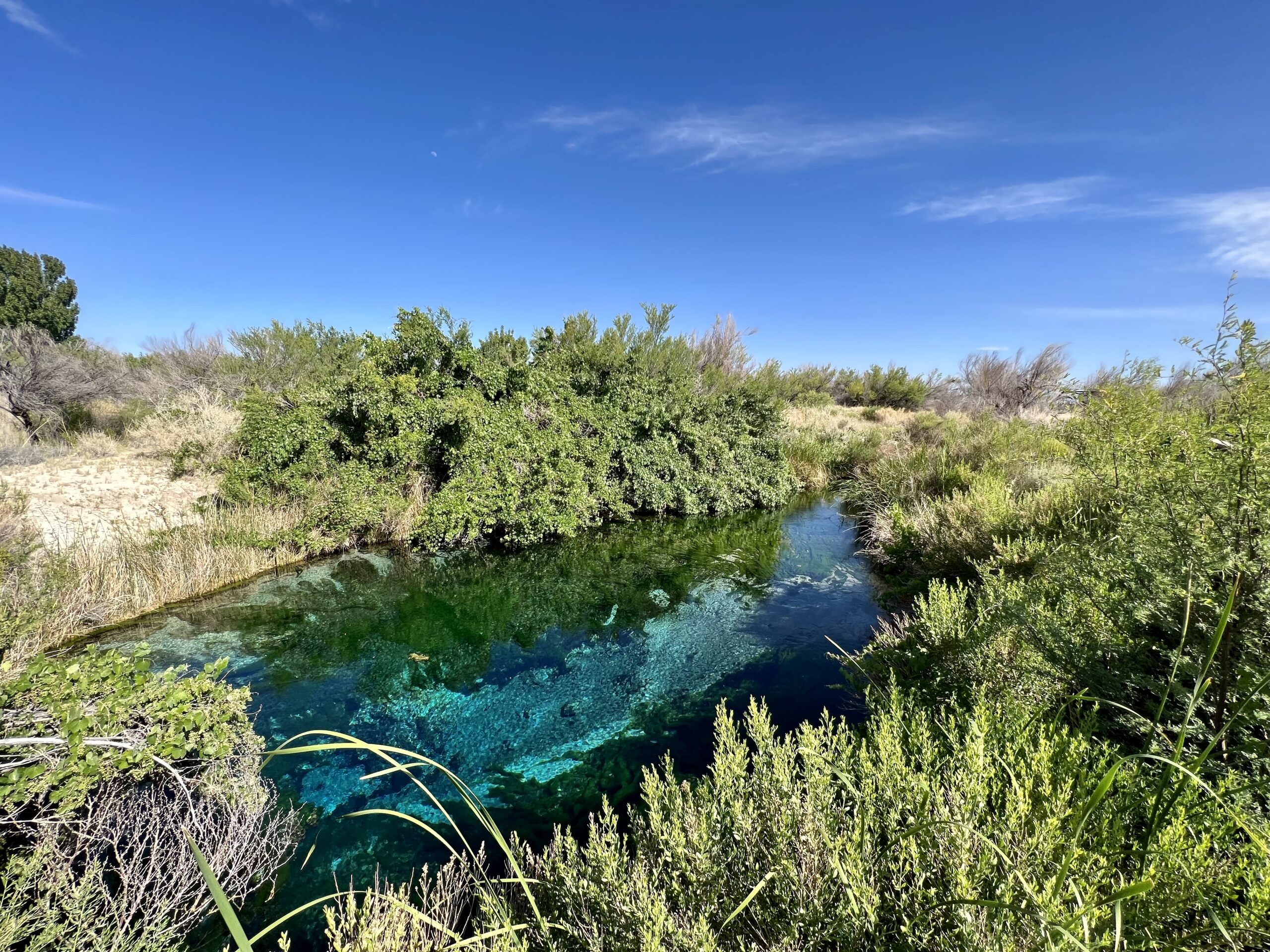
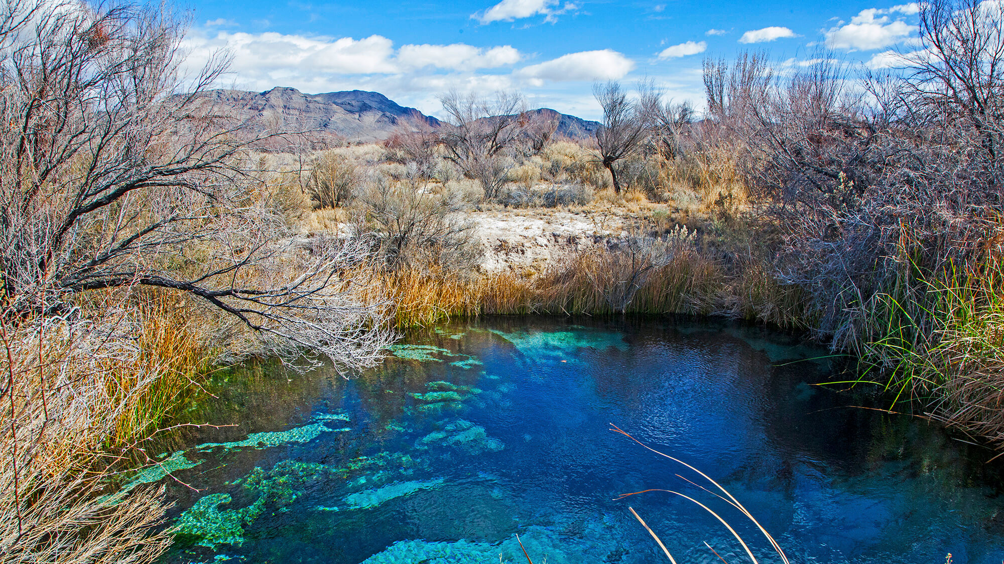
Amargosa Valley sits next to the Ash Meadows National Wildlife Refuge, roughly 23,000 acres the U.S. Fish and Wildlife Service has managed since 1984, land a developer had approved for a 25,000-lot subdivision on 12,653 acres before conservation groups intervened in the early 1980s (FWS). The valley also sits near the Yucca Mountain federal repository site and the former Nevada Test Site, both referenced in the county’s adopted area plan (nrc.gov). None of this restricts privately owned parcels outside the federal boundaries.
Before You Make an Offer
- Check water rights and well status directly with NDWR, not just the listing description.
- Verify the parcel’s land-use status with Nye County Planning, since “no zoning” doesn’t mean no rules apply.
- Get road access and utility distance in writing from the seller.
- Order a current survey before closing on any parcel platted before the 1990s.
- Pull the Nye County Assessor record for back taxes or assessments.
Comments