
Where Alviso Sits, and Why 13 Feet Below Sea Level Matters
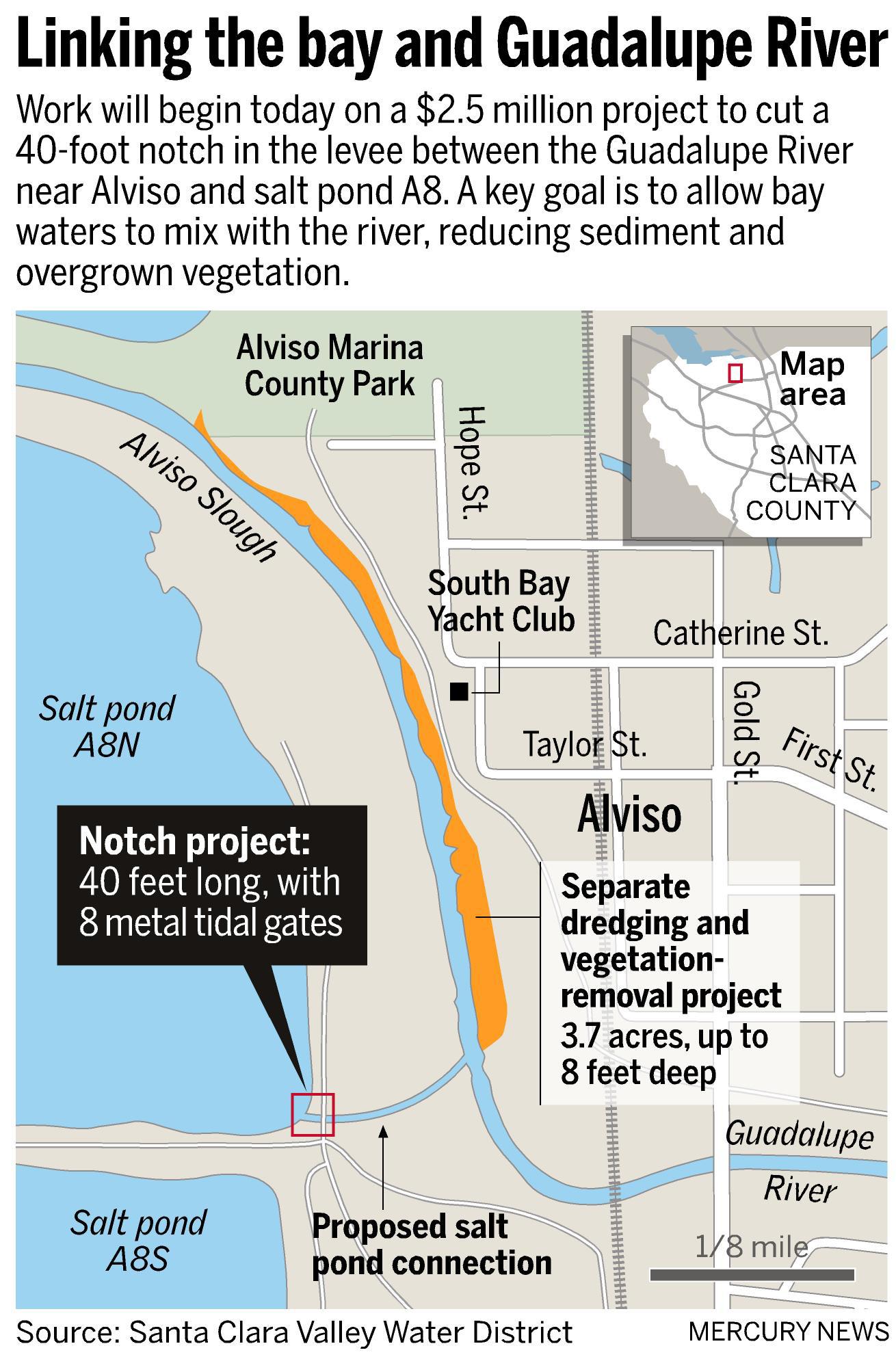
Alviso sits at the southern tip of San Francisco Bay, bordered by the Guadalupe River to the west and Coyote Creek to the east, making it San José’s only waterfront district and its northernmost neighborhood, per Wikipedia. Between 1915 and 1969, groundwater pumping caused parts of the area to sink an additional 13 feet, according to Valley Water’s findings reported by KneeDeep Times. Low elevation, added subsidence, and two rivers converging at the bay together explain why flood infrastructure dominates every serious conversation about the neighborhood’s future.
How far below sea level is Alviso? About 13 feet (4 meters), the lowest point in the San Francisco Bay Area. Parts of the neighborhood sank an additional 13 feet between 1915 and 1969 because of groundwater pumping, per Valley Water.
From Independent Port City to a Late Annexation
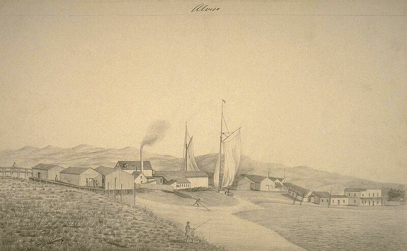
Alviso was founded in 1845 and incorporated in 1852 as California’s first chartered city, serving as the shipping port for the entire Santa Clara Valley, according to Wikipedia and History San José. The Bayside Canning Company, opened in 1906 by Sai Yin Chew and later run by his son Thomas Foon Chew, grew into the third-largest cannery in the country. Railroads bypassed the town in 1864, and its economy declined for decades.
Residents voted against joining San José in 1961 and 1962, then voted 189 to 180 in favor in 1968, and the city was formally absorbed on March 12, 1968. Promised services, fire and police coverage, drinking water, storm drains, arrived slowly enough to trigger lawsuits.
Was Alviso ever its own city? Yes. It incorporated in 1852 as California’s first chartered city and stayed independent until residents voted 189 to 180 in 1968 to join San José.
The $545 Million Flood Project: What’s Finished, What’s Still Coming
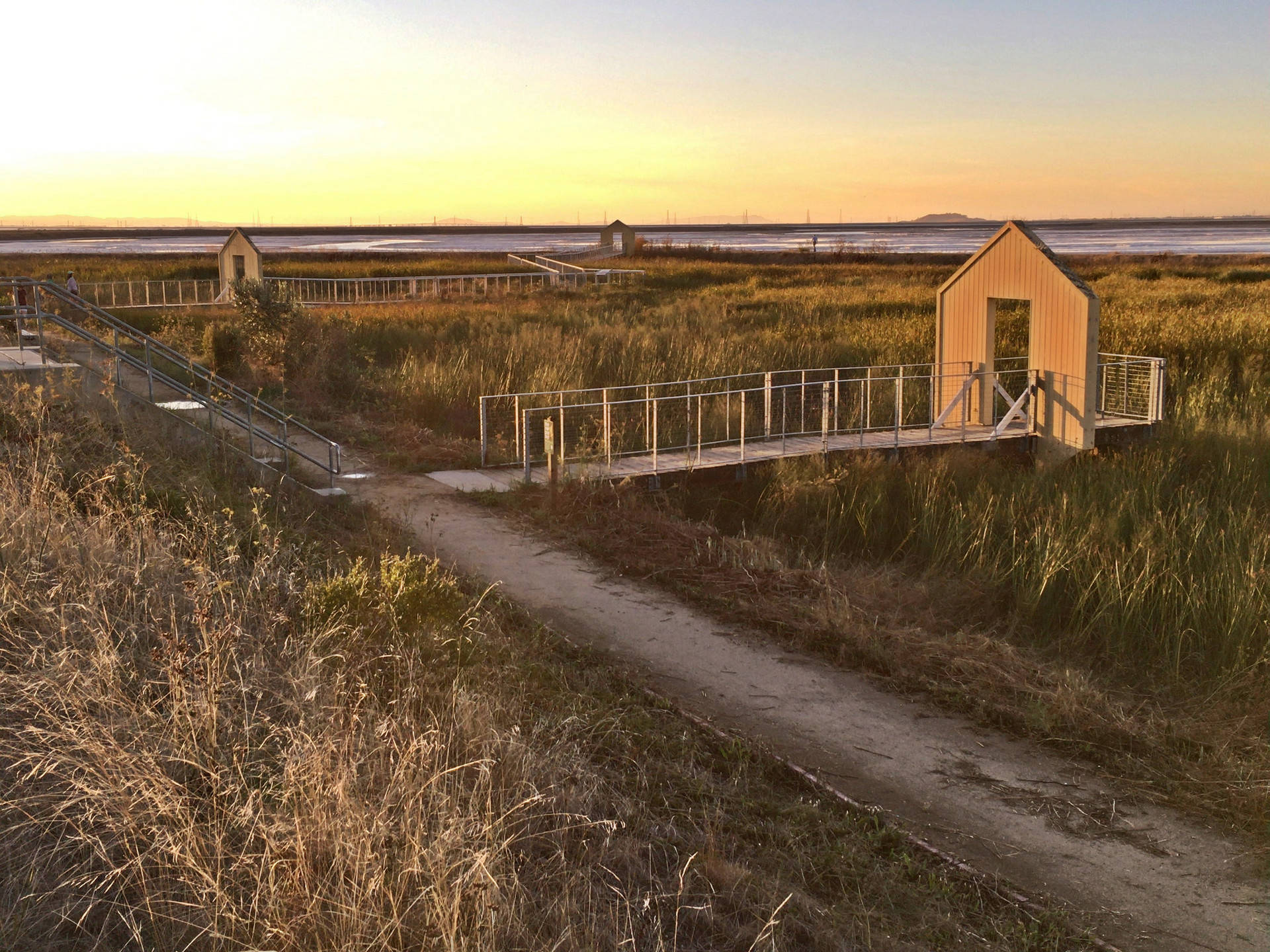
Before this project, Alviso’s levees were, in the water district’s own description, “muck from the bay piled on top” and not FEMA-certified, according to CBS San Francisco. The South San Francisco Bay Shoreline Project, a partnership among Valley Water, the U.S. Army Corps of Engineers, and the California State Coastal Conservancy, replaces them.
| Project component | Status | Scope |
|---|---|---|
| Reaches 1–3 levee (Alviso Slough to Artesian Slough) | Completed 2025 | 2 miles, FEMA-standard levee, water-control structures, boardwalk trail |
| Full Shoreline Project | Est. complete 2035 | 4 miles of levee, 2,900 acres of tidal wetland restoration |
| Total funding | $545 million, ongoing | $124M federal (2018 Disaster Supplemental), $207M Valley Water, $102M CA Coastal Conservancy |
| Reach 1 ecotone and revegetation | Started fall 2025 | Ducks Unlimited construction, SF Bay Bird Observatory revegetation |
Data: Valley Water, SF Bay Restoration Authority.
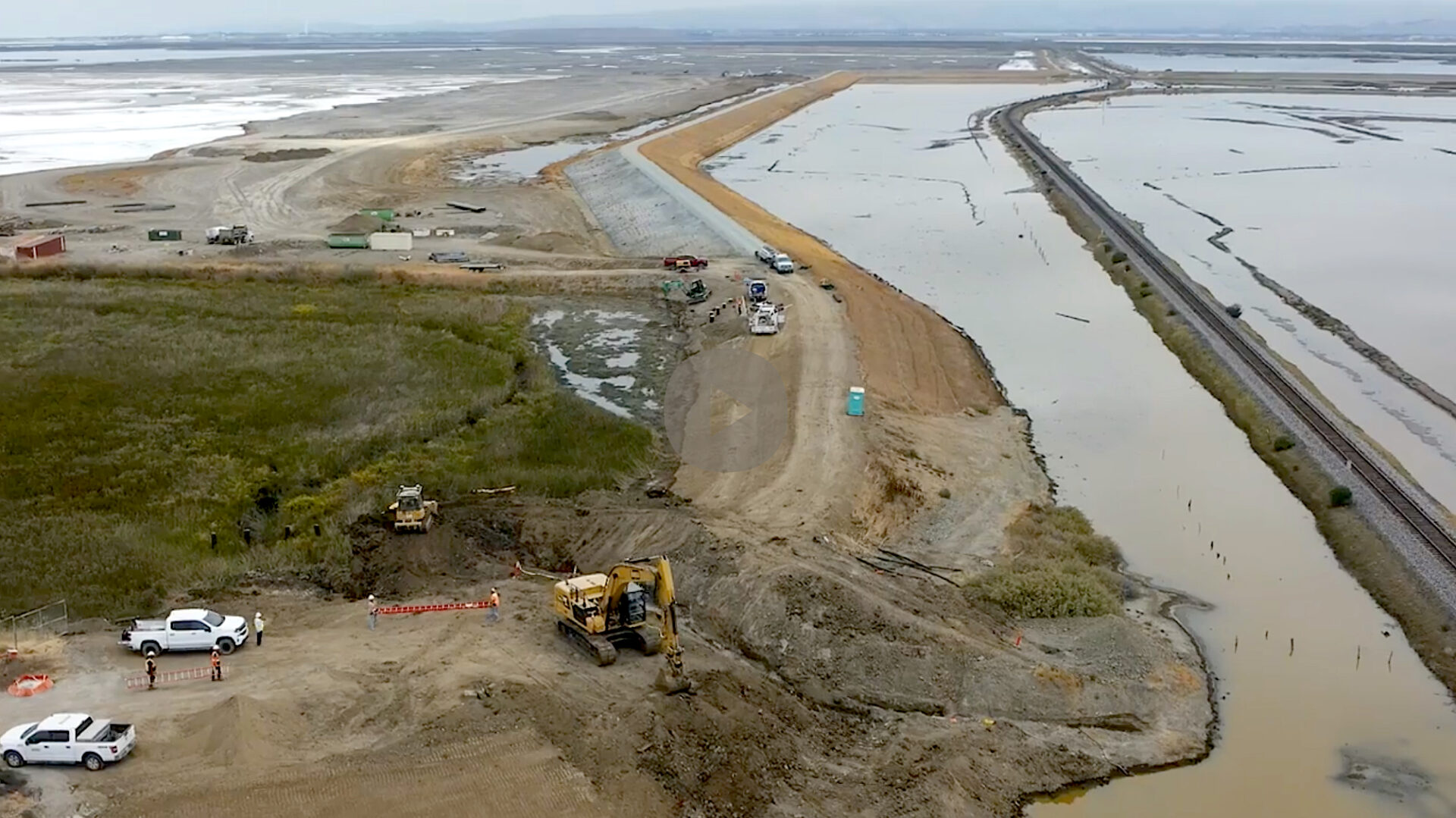
Two of the four planned miles are built; the published schedule puts full protection nine years out from mid-2026.
Does the new levee mean Alviso won’t flood again? Not yet. Only the first two miles, Reaches 1–3, were complete as of 2025. Full protection across all four miles and the connected wetland restoration isn’t scheduled until 2035, per Valley Water.
Home Prices and Flood Risk in the Same Zip Code
| Metric | Figure | Context |
|---|---|---|
| Median sale price (Oct 2025) | $1.3 million | Up 32.9% year over year |
| Price per square foot | $783 | Up 25.3% year over year |
| Properties at extreme flood risk (30-yr) | 654 (74%) | Rising slower than the national average |
| Properties at wildfire risk (30-yr) | 108 (11%) | Rated moderate |
| Median neighborhood real estate value | $1,296,079 | Higher than 94.8% of U.S. neighborhoods |
Data: Redfin; NeighborhoodScout.
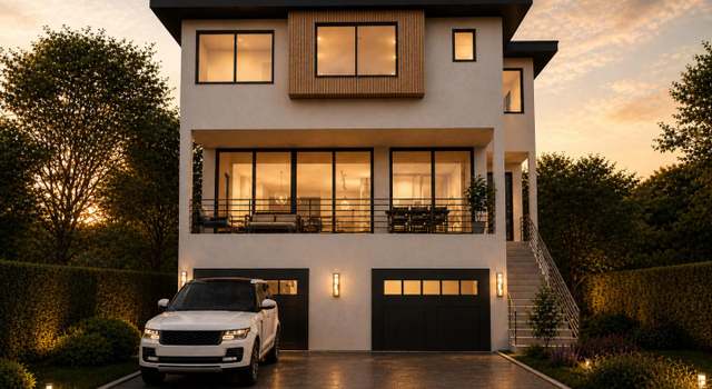
Flood exposure hasn’t slowed price growth here: both climbed together through 2025. A 1,677-square-foot Craftsman on Wabash Street sold for $1,259,999 in September 2024, per a Redfin listing record.
Do lenders require flood insurance for homes in Alviso? Most of the zip code sits in FEMA-mapped flood zones, and mortgage lenders generally require coverage. The old private levees weren’t FEMA-certified; the new engineered levee is built to that standard.
Who Lives in Alviso Now
| Indicator | Value |
|---|---|
| Residents identifying Mexican ancestry | 55.6% |
| Residents identifying Asian ancestry | 23.1% |
| Foreign-born residents | 36.2% |
| Workers in executive/management/professional roles | 38.2% |
| Average monthly rent | $3,893 |
Data: NeighborhoodScout. Household income here ranks higher than 65.3% of U.S. neighborhoods. Population, just over 2,000, has grown slowly since annexation.
The Small Commercial Core
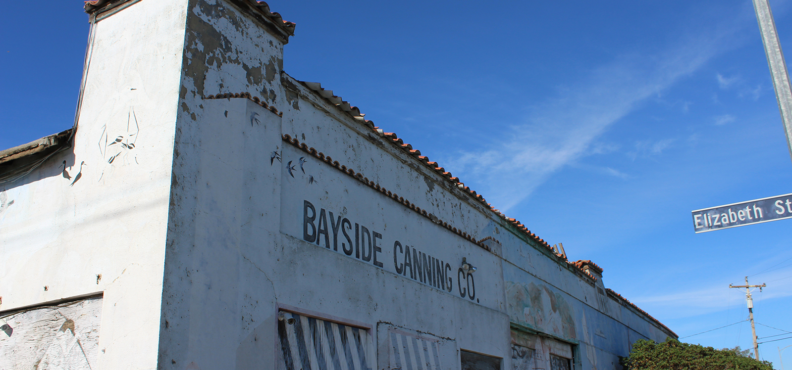
Alviso has no supermarket and no real commercial strip. Redfin’s neighborhood guide names two sit-down restaurants as local fixtures: Vahl’s Restaurant and Cocktail Lounge, and Maria Elena’s for Mexican food. Mail still goes through a post office on Gold Street, a holdover from before the 1968 annexation.
Parks, Refuge, and Getting Outside
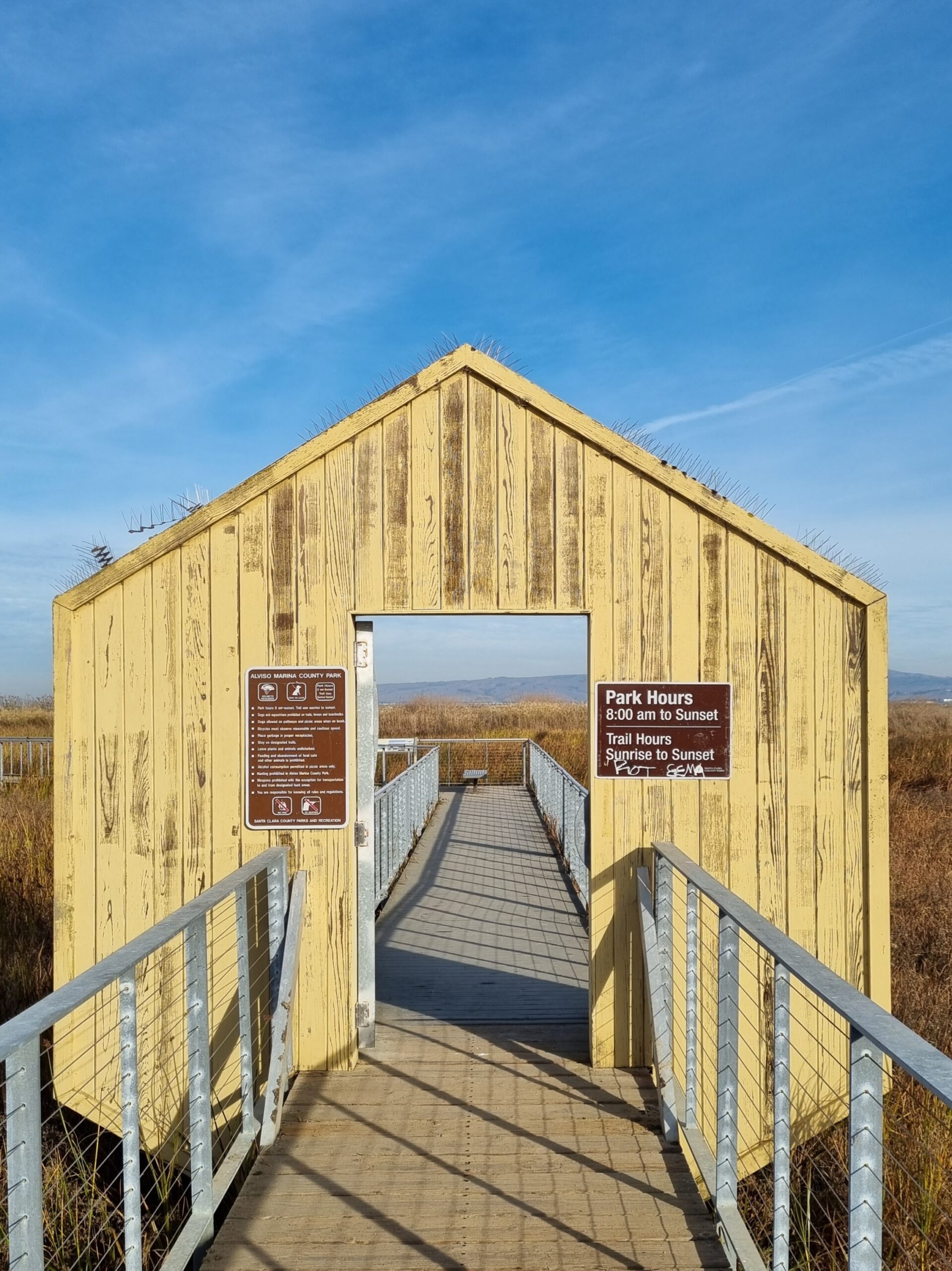
- Alviso Marina County Park: 20.6 acres with picnic areas, trails, and a boat launch onto San Francisco Bay.
- Don Edwards San Francisco Bay National Wildlife Refuge: the first urban national wildlife refuge established in the U.S., covering roughly 30,000 acres of ponds, marsh, and mudflats.
- Alviso Adobe Community Park: built around a restored adobe dating to 1854.
- Drawbridge: an abandoned town reachable only by a long walk along active railroad tracks.
Getting In and Out: Commute Reality
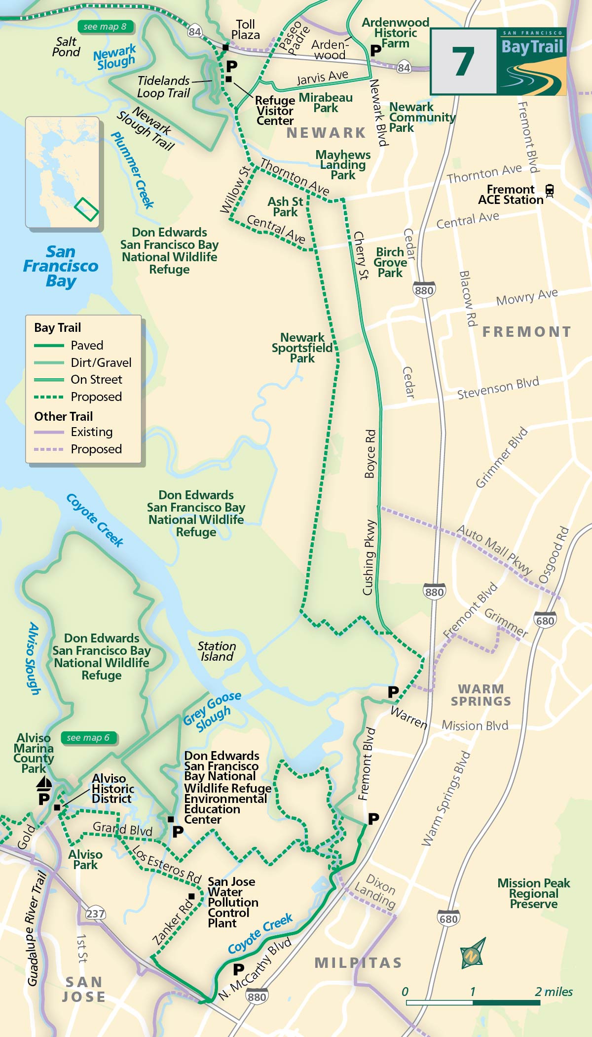
State Route 237 runs through the neighborhood, reaching Sunnyvale’s tech campuses within a few miles. ACE/Capitol Corridor rail connects to Caltrain and BART. VTA bus service runs along Liberty and North First Streets. Kaiser Permanente Santa Clara Medical Center is about 8 miles south, and San José Mineta International Airport about 8 miles southeast. Most residents drive; transit within the neighborhood itself is limited.
Common Misreadings of Alviso’s Risk
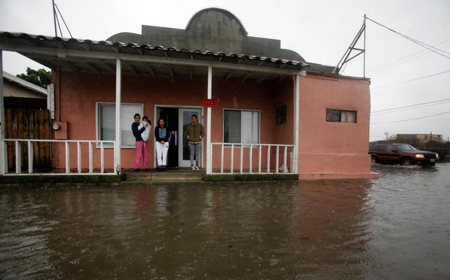
- Assuming the whole neighborhood floods yearly. Its worst event, the 1983 flood, was a 100-year storm, one with roughly a 1% annual chance, per San José Inside’s account of the district’s protection standard.
- Assuming flood insurance is optional. Most properties sit in FEMA-mapped zones; lenders typically require it regardless of levee progress.
- Assuming it’s still an independent town. It has been part of San José since 1968, though it kept its own ZIP code, 95002.
- Assuming prices are stagnant. Median sale prices rose 32.9% year over year as of October 2025.
Comments