
Population & Who Lives Here
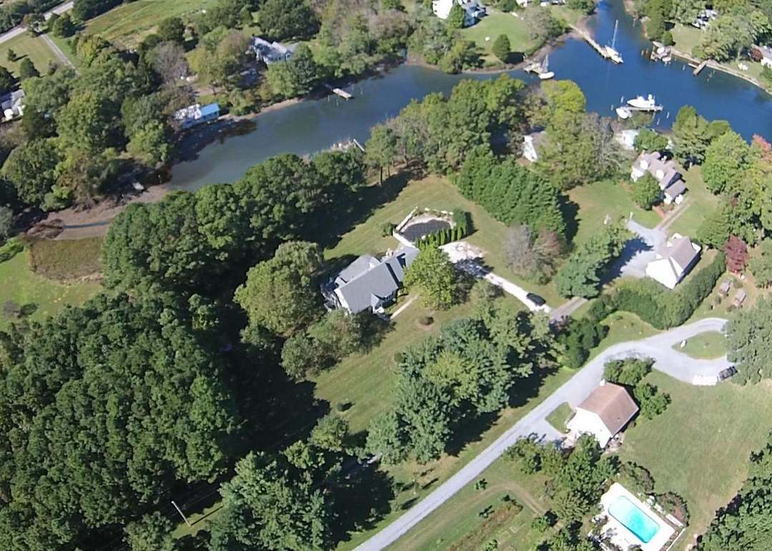
21663 covers the town of St. Michaels and the unincorporated stretch of Talbot County around it. The Census Bureau counted 3,142 people in the ZIP in the 2020–2024 American Community Survey five-year estimates, a rolling figure built from surveys collected across those five years rather than one point-in-time headcount.
Why the Town and the ZIP Report Different Numbers
The Town of St. Michaels’ government demographics page puts the incorporated town’s 2010 population at 1,020. The same page gives the ZIP-wide figure, unincorporated county land included, at 3,308 for that same 2010 count. Someone comparing “St. Michaels is a town of about 1,000 people” against “ZIP 21663 has over 3,000 residents” isn’t looking at two conflicting sources; both describe the same place with different boundaries drawn around it. The town line runs tight around the historic waterfront core; the ZIP extends into the surrounding unincorporated peninsula.
Is 21663 the same as the town of St. Michaels? No. The incorporated town had about 1,020 residents in the 2010 Census, drawn tightly around the historic waterfront core. ZIP 21663 draws a much wider line around that same area, adding surrounding unincorporated Talbot County, and counted roughly 3,300 residents that same year.
Income & the County Context
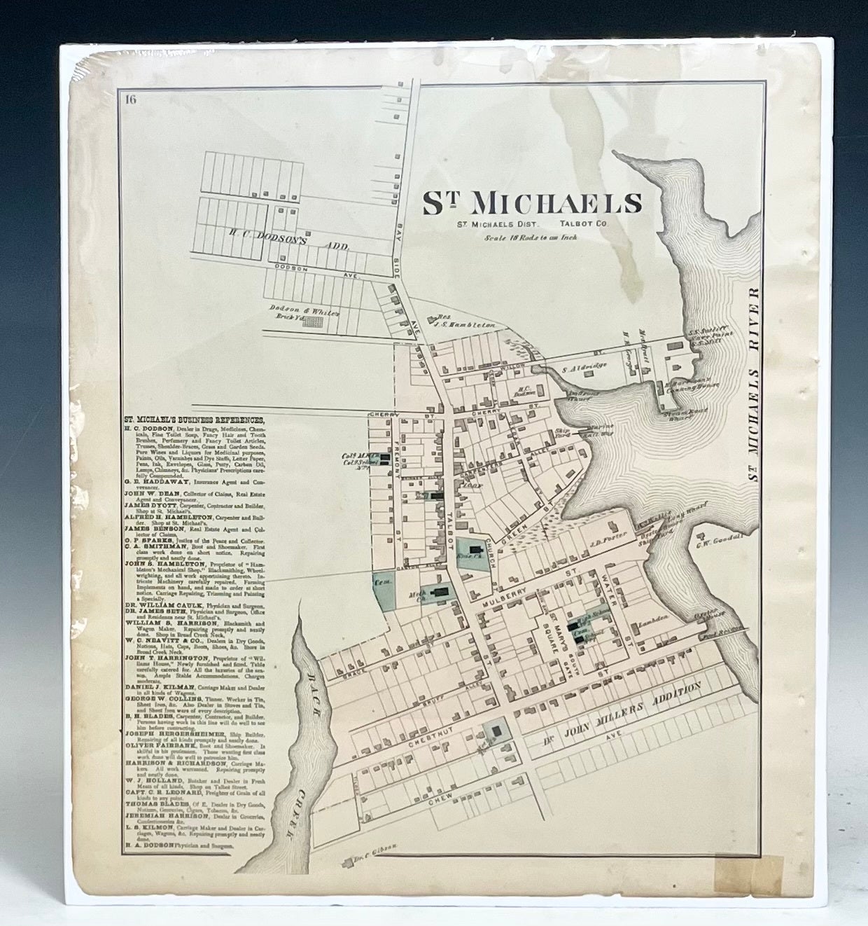
The ZIP’s median household income of $81,932 sits close to, and modestly below, Talbot County’s countywide median household income of $84,811 in 2024. That’s worth naming directly because a large gap in either direction would tell a different story about whether 21663 is pulling ahead of or lagging its county; here, the two figures sit within about 3% of each other. Home values tell a sharper story: the county’s own median home value was $409,700 in 2024, well under half of the ZIP’s $633,300. A ZIP with near-county-average income and far-above-county home values is a mismatch worth flagging for anyone doing an affordability calculation off county-level averages instead of the ZIP’s own numbers.
Housing, Home Values & the Vacancy Story
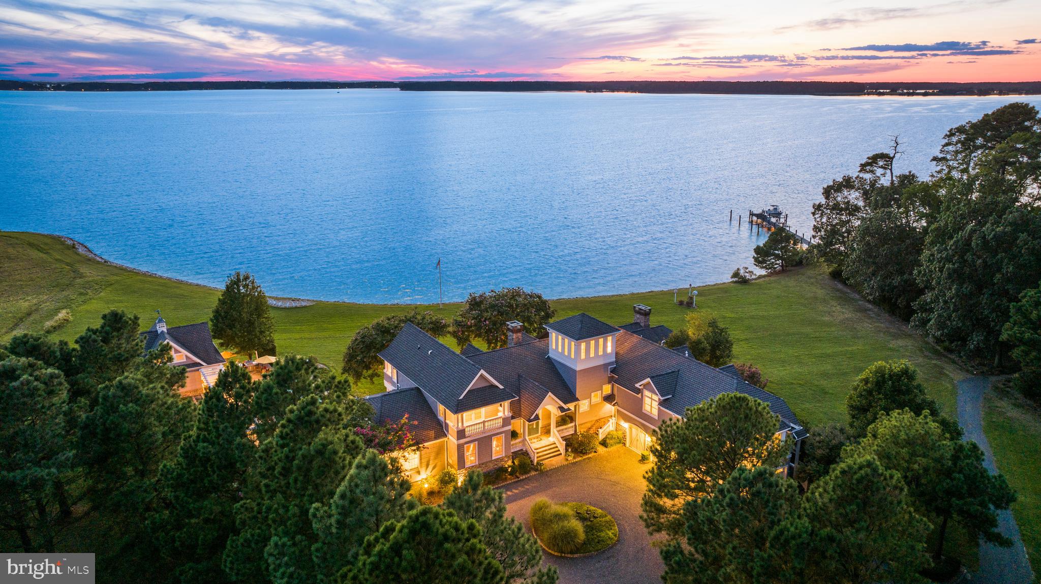
Of the ZIP’s roughly 2,107 housing units, about 32% are owned with a mortgage, 21% are owned free and clear, 18% are renter-occupied, and close to 28% sit vacant.
| Occupancy status | Share of housing units |
|---|---|
| Owned with a mortgage | 32% |
| Owned free and clear | 21% |
| Renter-occupied | 18% |
| Vacant | 28% |
More than a quarter of the housing stock reads as empty on paper, and the next section names why that figure alone would mislead a buyer or a lender.
Why Vacancy Runs High Here
Census vacancy-status breakdowns for a Chesapeake waterfront ZIP like this one typically split “vacant” into for-rent, for-sale, and seasonal or recreational-use categories. Independent readings of that breakdown for 21663 converge on roughly three-quarters of the vacant units falling into the seasonal-use bucket, a second-home market rather than a market with unsold or unrentable stock. A precise, freshly-pulled row count for this specific figure wasn’t available this session; anyone relying on it for a transaction should confirm it directly against a current Census DP04 pull for ZCTA5 21663.
Why does 21663 have such a high vacancy rate? Mostly because it’s a second-home market. Independent readings of the Census vacancy-status data for the ZIP put roughly three-quarters of vacant units in the seasonal or recreational-use category. A buyer comparing 21663’s vacancy rate to a mainland suburb should ask a listing agent whether a specific property has ever carried a long-term tenant, since the ZIP-wide number says little about any one house.
Is 21663 a good ZIP for a vacation rental or investment property? This isn’t investment advice, and nothing here should be read as a recommendation. What the public data shows: home values run well above the county median, a large share of existing vacant units are already seasonal-use rather than long-term rentals, and any short-term-rental plan should be checked against Talbot County’s own zoning and short-term-rental rules before a purchase, not after.
Schools Serving the 21663 Area
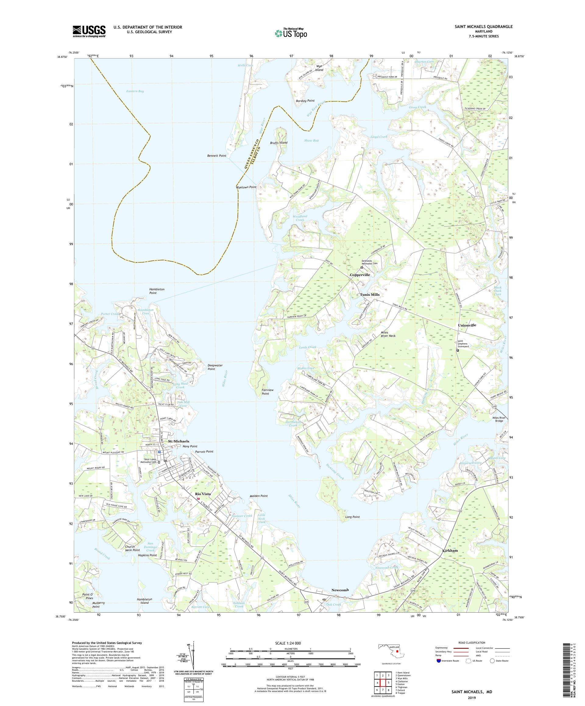
Two schools carry a St. Michaels, MD address inside the ZIP: St. Michaels Elementary (pre-K through 5) and St. Michaels Middle/High School (grades 6 through 12). Federal school-locator data lists the next-nearest Talbot County Public Schools buildings, Easton Elementary, Easton Middle, and Easton High School, at roughly 8.4 to 8.7 miles from the ZIP’s center.
| School | Grades | Location | Approx. distance from ZIP center |
|---|---|---|---|
| St. Michaels Elementary | PK–5 | St. Michaels, MD (in-ZIP) | In-ZIP |
| St. Michaels Middle/High School | 6–12 | St. Michaels, MD (in-ZIP) | In-ZIP |
| Easton Elementary | PK–5 | Easton, MD | 8.4 mi |
| Easton High | 9–12 | Easton, MD | 8.4 mi |
| Easton Middle | 6–8 | Easton, MD | 8.7 mi |
Two schools sit inside the ZIP itself; the rest of the district’s buildings sit a short drive east in Easton. This list comes from a federal school locator using distance, not from Talbot County Public Schools’ own attendance-zone map, so anyone assigning a specific address should confirm the exact feeder pattern with the district directly rather than assume the nearest building is the zoned one.
Geography, Access & Storm Exposure
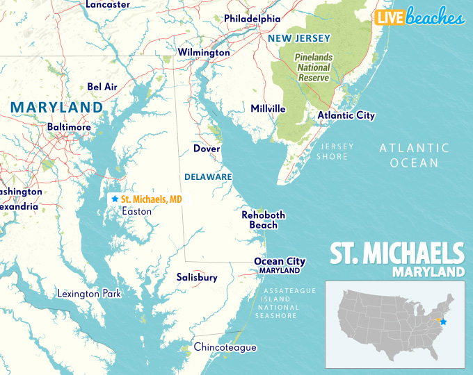
St. Michaels sits on a peninsula between the Miles River and Broad Creek, reached by a single state highway. MD 33 becomes Talbot Street once it enters town, and it’s the road Maryland’s highway department describes as carrying traffic through St. Michaels; there is no second through-route.
One Road In, One Road Out
In May 2014, the Maryland State Highway Administration spent $520,000 resurfacing two miles of that same road, Talbot Street, between Perry Cabin Drive and Pea Neck Road, working five consecutive overnight shifts to keep daytime traffic moving through the only route in and out.
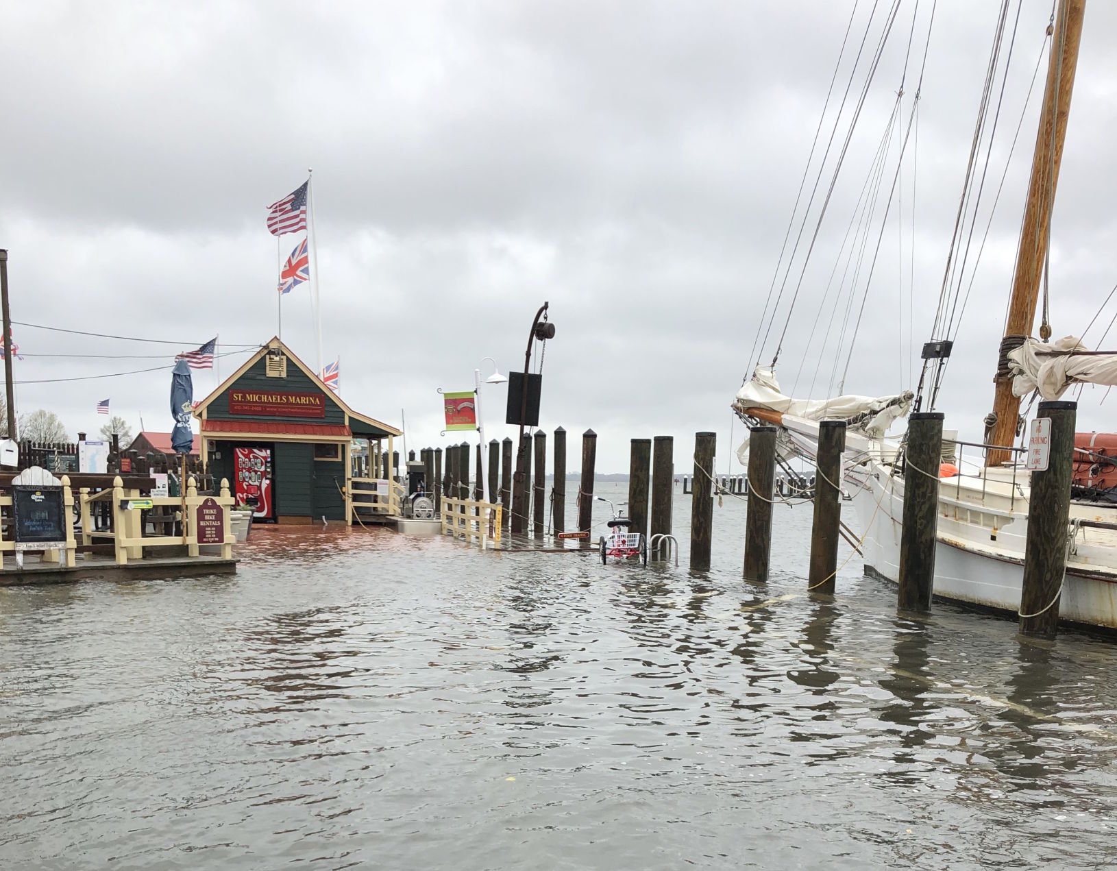
That single-road geography carries more than a commute-planning consequence. The county’s flood-resiliency page groups high-risk flood areas under the letters A or V and moderate-to-low-risk areas under B, C, or X, and notes the county has experienced repeated hurricanes and severe storms. Flood-zone status varies parcel by parcel on a peninsula like this one, so any specific address should be checked directly against the FEMA Flood Map Service Center rather than assumed from the ZIP as a whole.
What’s the only road in and out of St. Michaels? MD 33, known as Talbot Street inside town. Because it’s the sole through-route on the peninsula, it’s also the route any evacuation or storm-response plan for this ZIP has to run on; there’s no alternate road to fall back on if it floods or closes.
The same geography carries a healthcare-access angle worth naming directly. The nearest hospital-level emergency care is the University of Maryland Shore Medical Center at Easton, about nine miles east along MD 33 from St. Michaels. That distance is a countywide fact, not a ZIP-specific one: the county’s median age runs around 51, roughly a decade above the national median, and a coastal ZIP within it is a place where a nine-mile drive to the nearest ER is worth knowing before signing a lease or a deed.
Mail, Shipping & the Name Question
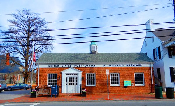
USPS lists “Saint Michaels, MD” as the preferred city name for ZIP 21663, with “St Michaels” accepted as an alternate. Either spelling should route correctly through USPS’s own systems; anything outside that pair risks a delay.
Should I write “Saint Michaels” or “St Michaels” on mail addressed to 21663? Either works. USPS lists “Saint Michaels” as the preferred spelling and “St Michaels” as an accepted alternate for this ZIP.
A Note on Data Vintage
The dollar and population figures above come from the Census Bureau’s 2020–2024 American Community Survey five-year estimates, a rolling average built from data collected across those five years rather than a single-year snapshot. That smooths out year-to-year noise but also means the figures describe conditions across the whole 2020–2024 window, not conditions specifically in 2026. Estimates for a ZIP this small carry a wider margin of error than county- or state-level numbers, so treat any single dollar figure here as a band rather than an exact count.
Limitations and Open Questions
A few figures in this profile carry an open research flag rather than false precision: the exact seasonal-vacancy row count for the ZIP should be confirmed against a live Census DP04 pull; a neighbor-ZIP comparison against 21601 Easton, 21612 Bozman, and similar wasn’t independently sourceable this session; and the school list above reflects distance, not confirmed attendance-zone assignment.
Comments