
Where Potrero Hill Is, and Where Dogpatch Begins
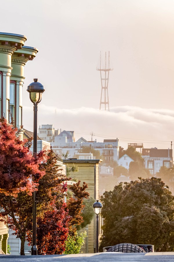
The city’s Eastern Neighborhoods planning boundary puts Potrero Hill between 16th Street (north), Potrero Avenue and US-101 below 20th Street (west), and Cesar Chavez Street (south). Dogpatch, a separate planning area, sits east of Interstate 280 between Mariposa and Cesar Chavez streets; the two neighborhoods share a merchant association and general community organizing but not a planning boundary.
On the south side of the hill, the Potrero HOPE SF redevelopment is rebuilding roughly 1,700 units of housing, split into about 619 replacement affordable units, around 200 additional affordable units, and about 800 market-rate units, plus 3.5 acres of new open space. The five-phase timeline has slipped: an original 2029 completion estimate is now reported as 2034.
Is Potrero Hill part of Dogpatch? No. They’re adjacent and share some civic infrastructure, but Dogpatch is a distinct planning area east of I-280, while Potrero Hill is the hill itself, west of the freeway.
Who Potrero Hill Fits, and Who It Doesn’t
Four kinds of readers typically ask about Potrero Hill: renters and buyers priced out of the Marina or Nob Hill, families weighing schools, remote or hybrid workers commuting to the Peninsula, and short-term visitors, and each faces a different tradeoff here.
| User type | Fits because | Key caveat |
|---|---|---|
| Renter or buyer | Victorians and modern condos side by side; sunnier and less foggy than western neighborhoods | Rent rose 13.6% in a year; price growth (26.2%) is outpacing most SF neighborhoods |
| Family with kids | Two SFUSD schools and a recreation center inside the boundary | School-quality data is mixed year to year, see the Schools section |
| Peninsula commuter | 22nd Street Caltrain station sits on the neighborhood’s edge | Trip times to San Jose run 55 to 70 minutes; check the zone schedule |
| Short-term visitor | Skyline and Bay views, a walkable 18th Street corridor | Anchor Brewing, a common draw in older guides, has not run tours since 2023 |
Cost and Market Snapshot
| Metric | Value | Change | Date | Source |
|---|---|---|---|---|
| Median home sale price | $1,549,479 | +26.2% YoY | May 2026 | Redfin |
| Average rent, all unit types | $4,757/mo | +13.6% YoY | Updated July 2, 2026 | RentCafe |
| Average 1-bedroom rent | roughly $4,100 to $5,300 | varies by data provider | June to July 2026 | RentCafe, RentHop |
| Owner-occupied share | 33% (67% renter-occupied) | — | 2026 estimate | RentCafe |
The gap between the median sale price and the average rent is wide enough that buying at the median amounts to a bet on continued double-digit appreciation, not on reaching rent parity within a normal holding period.
Getting Around
| Destination | Mode | Approx. time | Source |
|---|---|---|---|
| 4th & King (Caltrain SF terminus) | Caltrain from 22nd Street | about 5 minutes | Caltrain |
| San Jose Diridon | Caltrain local or limited from 22nd Street | 55 to 70 minutes | Caltrain |
| Union Square / Powell Station | Muni 22-Fillmore or T Third, transfer at Powell | 25 to 35 minutes | SFMTA |
| Chinatown-Rose Pak Station | T Third direct via Central Subway | 20 to 25 minutes | SFMTA |
Since January 7, 2026, the T Third no longer serves the Embarcadero or the Market Street subway tunnel directly; riders headed there now transfer to the N Judah at Powell or at 4th and King, a routing change newer than most neighborhood guides in print.
Do I need a car in Potrero Hill? Not for downtown or SoMa trips, which the 22, 48, 55, and T Third all reach directly. On-street parking near 18th Street is limited and much of the neighborhood requires a residential parking permit, so a car helps more for Peninsula commutes outside Caltrain’s schedule windows than for daily local trips.
Safety and What to Know Before You Commit
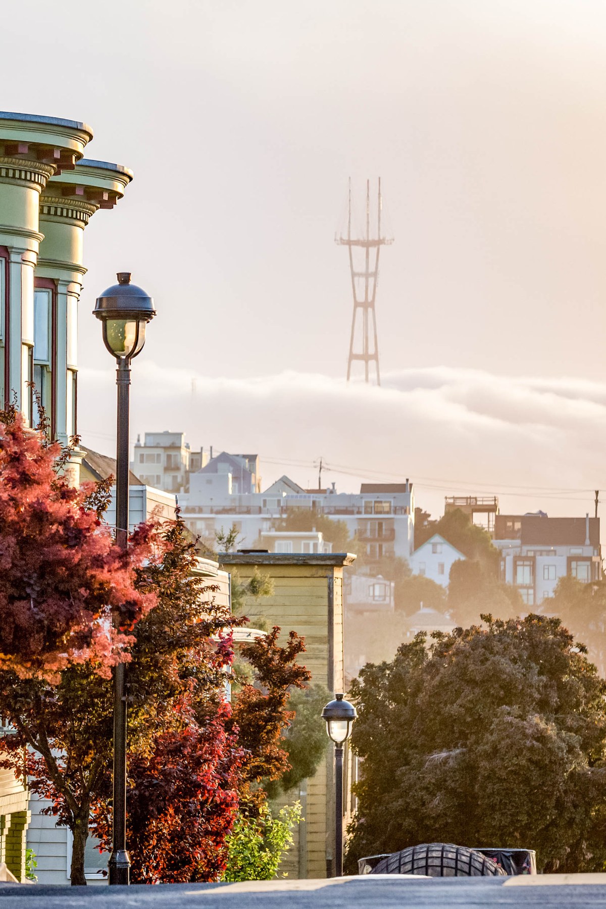
San Francisco recorded a more than 25% drop in violent crime citywide in 2025 compared with 2024, per SFPD data. No independently dated, government-sourced crime count specific to Potrero Hill alone turned up in this research; readers who want block-level numbers should pull them from the SFPD Crime Dashboard directly rather than trust a third-party index.
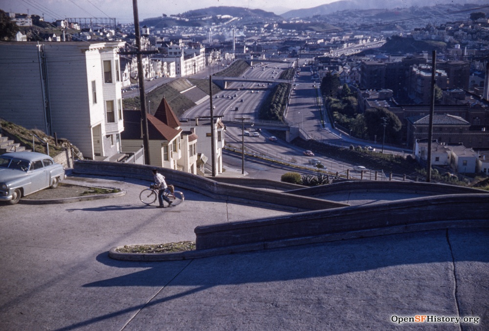
What is verifiable: the underpasses along US-101 and I-280 that frame the neighborhood have hosted encampments for years, and the city only gained authority to clear Caltrans-owned freeway land as of August 27, 2025, under an agreement between Caltrans and the Mayor’s office.
Is Potrero Hill safe at night? Citywide violent crime is down sharply, but the freeway underpasses at the neighborhood’s edges are the specific stretches worth routing around after dark, based on the encampment history above.
Schools and Family Logistics
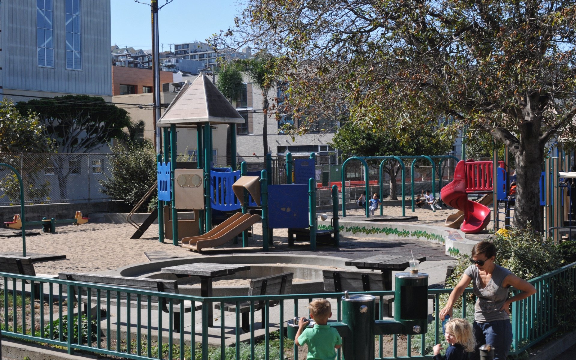
Two SFUSD schools sit inside the boundary: Daniel Webster Elementary at 465 Missouri Street (K–5), and S.F. International High School at 655 De Haro Street (grades 8–12). Daniel Webster’s GreatSchools rating and state-test proficiency figures are published there and vary by testing cycle, so check the current snapshot rather than a fixed number printed elsewhere.
Is Potrero Hill good for families with kids? It has two SFUSD schools and a recreation center inside the boundary, but families should check their assigned school’s current test data rather than assume it from the neighborhood’s overall reputation.
Signature Spots, and the One That’s Closed Since 2023
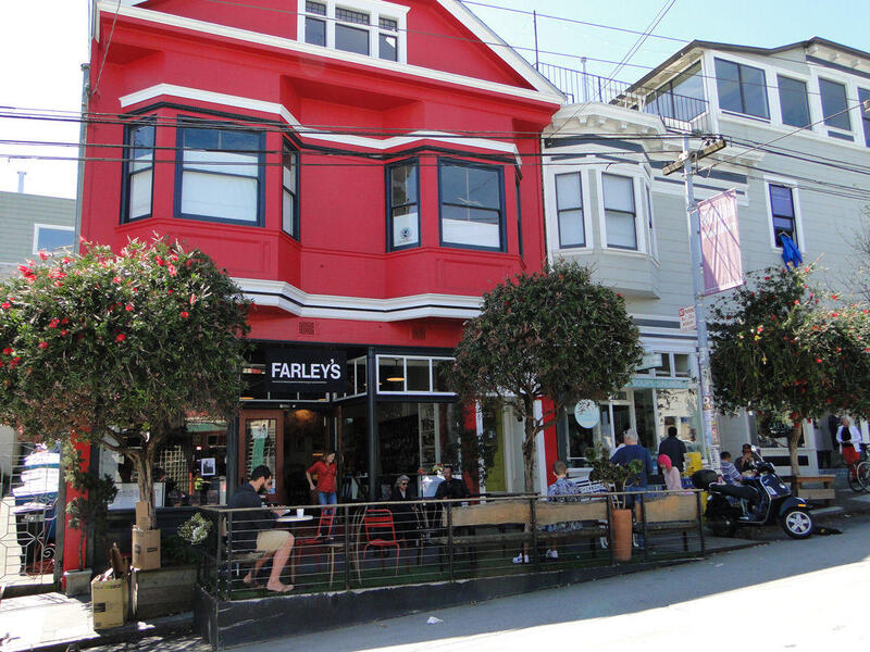
18th Street is the neighborhood’s commercial spine. The most consequential fact for visitors: Anchor Brewing, the 1896 brewery that older guides describe as offering daily tours, has not run tours since Sapporo halted production in 2023. Chobani founder Hamdi Ulukaya bought the site in 2024 and, as of May 2026, has not reopened it; industry reporting puts an estimated $1.7 million in deferred wastewater-system repairs between the building and a restart.
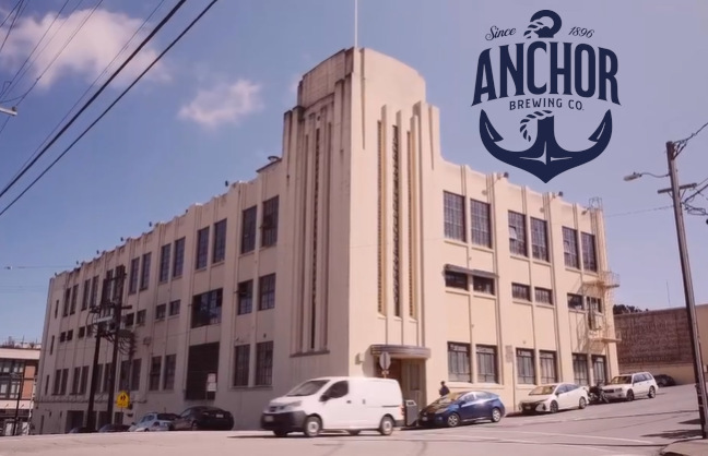
Can I still tour Anchor Brewing? No. Tours stopped in 2023 and had not resumed as of mid-2026, despite new ownership since 2024.
A Short History, Without the Fluff
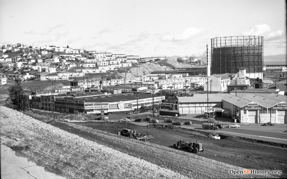
The name comes from the Spanish word for pasture, describing the ranching and shipbuilding land the hill covered before it became a working-class district. Fritz Maytag, heir to the washing-machine fortune, bought the failing Anchor Brewing Company in 1965, a purchase credited with starting the American craft-beer movement, and moved the brewery to its current Potrero Hill site soon after. The neighborhood’s shift from blue-collar to affluent tracked San Francisco’s broader technology-driven growth from the 1990s onward.
Comments