
What’s on the Mott Avenue Corridor
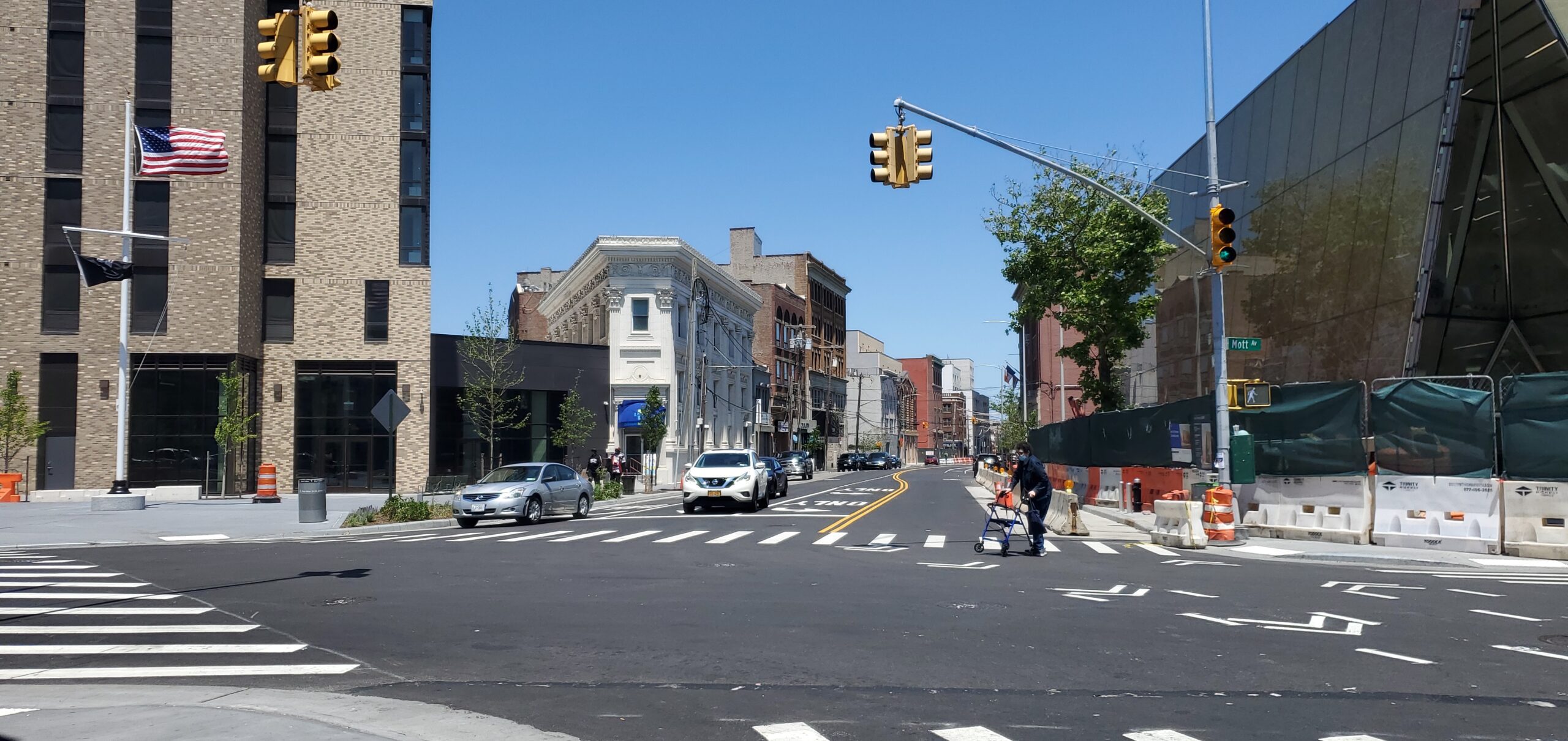
Mott Avenue is one of three streets the NYC Economic Development Corporation names as the anchor of Downtown Far Rockaway’s commercial core, alongside Central Avenue and Beach 20th Street. The A train’s Mott Avenue terminal sits at one end of the corridor; the new Far Rockaway Library sits at its intersection with Central Avenue. Multi-family buildings, small retail, and a handful of city-owned parcels still awaiting private development line the blocks in between.
The 2017 Rezoning: Where It Stands Now
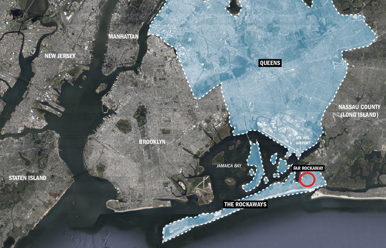
The Downtown Far Rockaway rezoning isn’t a proposal anymore. The City Council approved it 46 to 0 on September 7, 2017, covering a 22-block area and securing $288 million in public investment, per CityLand’s coverage of the vote. The action created the Special Downtown Far Rockaway District, which raises allowable building heights and floor area over the prior zoning, requires a share of affordable units on qualifying new development through a Mandatory Inclusionary Housing designation, and established an Urban Renewal Area giving the City authority to acquire underused parcels for redevelopment.
Two major pieces of that plan are finished. A $114 million streets and sewer project, covering 25 blocks of stormwater drainage and including a new 15,000-square-foot pedestrian plaza, was completed in 2022, three months ahead of the promised schedule and $25 million under budget; the 2017 phase of that infrastructure work specifically named Mott Avenue among the streets getting new water mains and storm sewers. The same year, the 224-unit affordable Beach 21st Street development opened nearby.
Is the redevelopment plan actually happening, or still on paper? The rezoning, its infrastructure phase, and one major public building are complete: legal approval in September 2017, the $114 million streets and sewer project finished in 2022, and the $39 million Snøhetta-designed library opened in July 2024 at Mott and Central. What remains open is private construction on individual Urban Renewal Area parcels, which moves lot by lot rather than on a single published timeline.
Current Pricing and What Drives the Spread
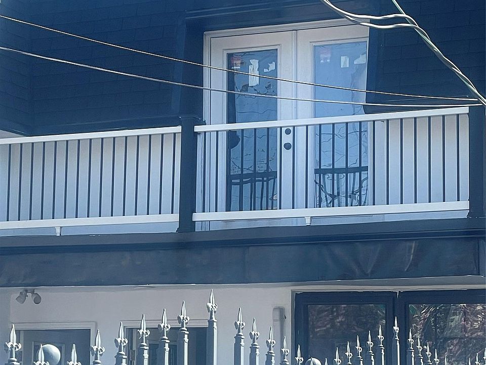
The 23-35 Mott Ave listing works as a benchmark because it’s the one transaction sitting directly on the street with a dated, sourced price: a two-family brick building, 2,600 square feet on a 2,617-square-foot lot, six bedrooms and two bathrooms, currently tenant-occupied and set to be delivered vacant at closing, listed at $725,000 as of an April 2026 MLS snapshot. Multi-family listings across the broader Far Rockaway market currently run from about $575,000 to $1.15 million, with a $899,000 median across 49 active multi-family listings.
| Price band | Likely driver | Verification step |
|---|---|---|
| $575K to $725K | Two-unit building, smaller lot, or a legal unit count lower than the listing’s bedroom count suggests | Pull the Certificate of Occupancy from NYC DOB; bedroom count is not unit count |
| $725K to $950K | Three- or four-unit buildings, or recent capital work on roof, mechanicals, kitchens, or baths | Ask for permits filed with DOB for any renovation claimed in the listing |
| $950K to $1.15M+ | Larger multi-family (four-plus units), bigger lot, or a fully vacant delivery at closing | Request the current rent roll, and cross-check any 6+ unit building against DHCR registration |
Rent tells a similar story once it’s broken down by unit size rather than averaged across the whole market.
| Unit size | Average asking rent, ZIP 11691 (June 2026) | Range |
|---|---|---|
| One bedroom | $1,466 | $1,000 to $1,950 |
| Two bedroom | $2,814 | $2,199 to $3,500 |
| Three bedroom | $3,021 | $2,421 to $3,500 |
Source: ApartmentHomeLiving, dated June 18, 2026.
Why do multi-family asking prices on the same street vary so much? Unit count and legal status explain most of it. A two-family building and a four-family building on the same block can differ by $300,000 or more in asking price even at similar square footage, because the buyer is purchasing income potential and Certificate of Occupancy status, not just square feet. Verify the legal unit count independently of the marketing description.
Flood Risk and the Insurance Reality
Sixty-four percent of properties in ZIP 11691 are modeled to face severe flood risk over the next 30 years, according to First Street’s data as published through Redfin’s ZIP 11691 pages. That risk isn’t hypothetical to the corridor: when Snøhetta designed the new Far Rockaway Library at Mott and Central, the firm specifically sited the building at an elevation exceeding the FEMA flood-zone guidelines in effect for the project, a deliberate response to the same exposure a buyer on this corridor is underwriting.
On the insurance side, 977 homes in ZIP 11691 carried flood insurance policies as of 2021, when FEMA’s Risk Rating 2.0 pricing model took effect for new policies starting October 1 of that year. Roughly 40% of 11691 policyholders were projected to see some rate decrease under the new model, while 41% faced increases up to $120 a year and 19% faced increases of $120 to $360 a year. FEMA has continued updating flood maps since; the parcel-specific zone for any individual Mott Avenue address needs its own lookup through the FEMA Map Service Center, because zone designations vary block by block in a way a neighborhood-level statistic can’t capture.
Is the area around Mott Avenue in a flood zone? Much of it, yes, though the exact designation depends on the individual parcel. ZIP 11691 carries severe 30-year flood-risk modeling on 64% of properties, and the corridor’s newest public building was engineered around current FEMA elevation guidance. Run the specific address through FEMA’s Map Service Center before making an offer; don’t rely on a neighborhood-wide average.
Rent-Stabilization Exposure in Older Multi-Families
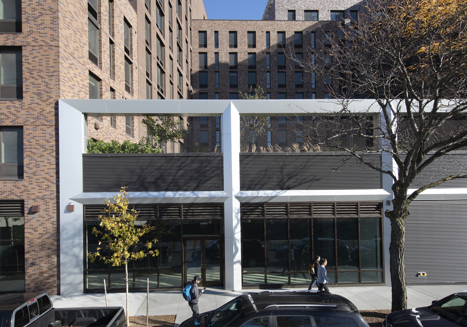
New York City’s rent stabilization law generally applies to buildings with six or more units constructed before 1974, and covers close to half of the city’s rental apartments overall, per the Mayor’s Public Engagement Unit. Far Rockaway’s multi-family stock, much of it prewar and early-postwar, includes buildings that plausibly qualify, but stabilization status attaches to the individual building and sometimes the individual unit, not to the neighborhood, so no citywide or ZIP-level percentage substitutes for checking a specific address.
The current rent-increase guidelines, Apartment/Loft Order #57, cover leases commencing between October 1, 2025 and September 30, 2026. Two tools do the actual verification work: the Rent Guidelines Board publishes downloadable, borough-by-borough lists of buildings known to contain at least one stabilized unit, and NYS Homes and Community Renewal’s Office of Rent Administration can issue a specific apartment’s full rent history on request.
How much of the older housing stock near Mott Avenue is rent-stabilized? There’s no reliable street-level percentage; check the specific building. The general rule (six-plus units, built before 1974) is a starting filter, not a determination. Pull the address against the RGB’s rent-stabilized building list, then request the individual unit’s rent history from HCR if the building qualifies, before underwriting any assumed market-rate rent roll.
Mott Avenue Corridor vs. the Beach-Numbered Residential Streets
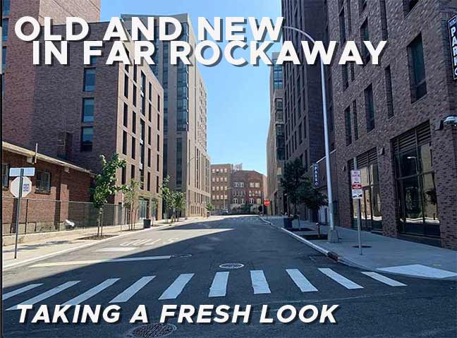
A buyer weighing Mott Avenue against the quieter Beach-numbered streets a short distance south is really choosing between two different regulatory and product environments, not just two locations.
| Factor | Mott Avenue Corridor | Beach-Numbered Residential Streets |
|---|---|---|
| Zoning | Special Downtown Far Rockaway District: raised height/FAR limits, Mandatory Inclusionary Housing on qualifying new construction | Lower-density residential districts; some blocks fall inside a National Register historic district |
| Historic-review burden | None beyond standard DOB permitting | Portions sit in the Beachside Bungalow Historic District, listed 2013, which can add design review for exterior changes |
| Typical product | Two- to six-unit multi-family, $575K to $1.15M | Detached, often bungalow-era single-family homes on smaller footprints |
| Transit | A train Mott Avenue terminal at the corridor itself | Reachable by the same terminal via NICE Bus routes N31, N32, or N33 |
| Recent public capital investment | $114M infrastructure project (2022) plus a $39M library (2024), both sited on the corridor | No comparable dollar figure found in the sourced record for the residential side streets specifically |
Mott Avenue trades lower density for rental income potential and direct public-investment exposure; the Beach-numbered streets trade that upside for single-family stock and a historic-review layer that can slow renovation timelines.
Common Mistakes Buyers Make on This Corridor
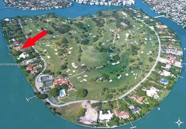
- Trusting the address format on a single platform. The same building appears as “23-35 Mott Ave” on one MLS-fed listing site and “2335 Mott Avenue” on another, both showing the identical $725,000, six-bedroom, 2,600-square-foot property. Search both hyphenated and unhyphenated formats before concluding a street has no active inventory.
- Assuming bedroom count equals legal unit count. A listing description isn’t a Certificate of Occupancy. Pull the DOB record before underwriting rental income on any multi-family purchase.
- Skipping the rent-roll cross-check on six-plus unit buildings. If the building plausibly falls under rent stabilization, a seller’s stated rent roll can reflect illegal overcharges that won’t survive a DHCR audit after closing. Request rent histories on stabilized units before closing, not after.
- Treating a ZIP-level flood statistic as a parcel-level answer. The 64% figure for 11691 describes the ZIP code, not any single lot. Run the specific address through FEMA’s Map Service Center.
Buyers who skip these checks aren’t just risking a bad price. They’re risking a purchase whose income assumptions collapse the first time a tenant requests a DHCR rent history.
Comments