
Where the Neighborhood Actually Starts and Stops
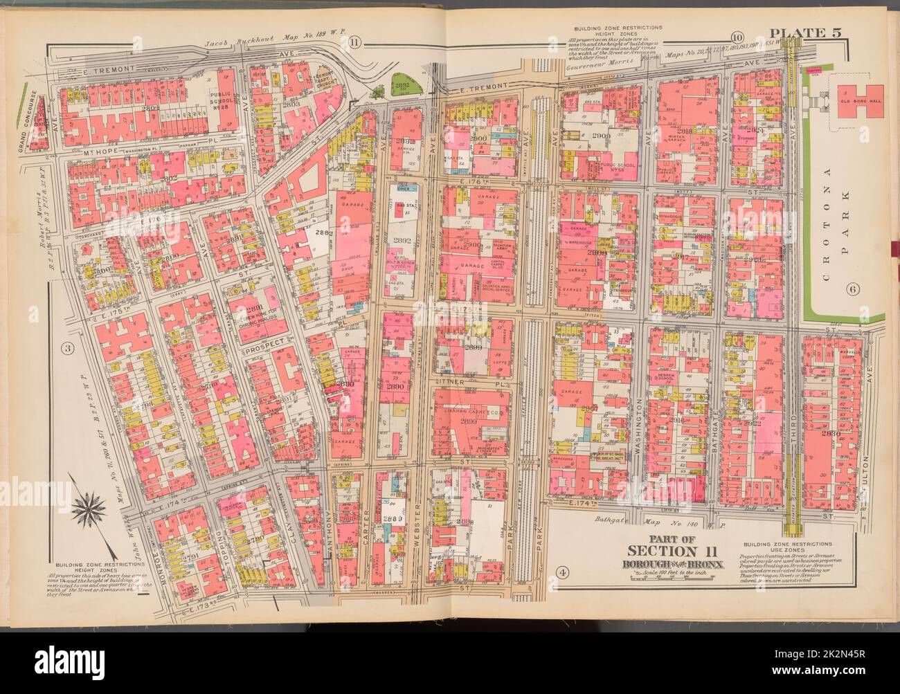
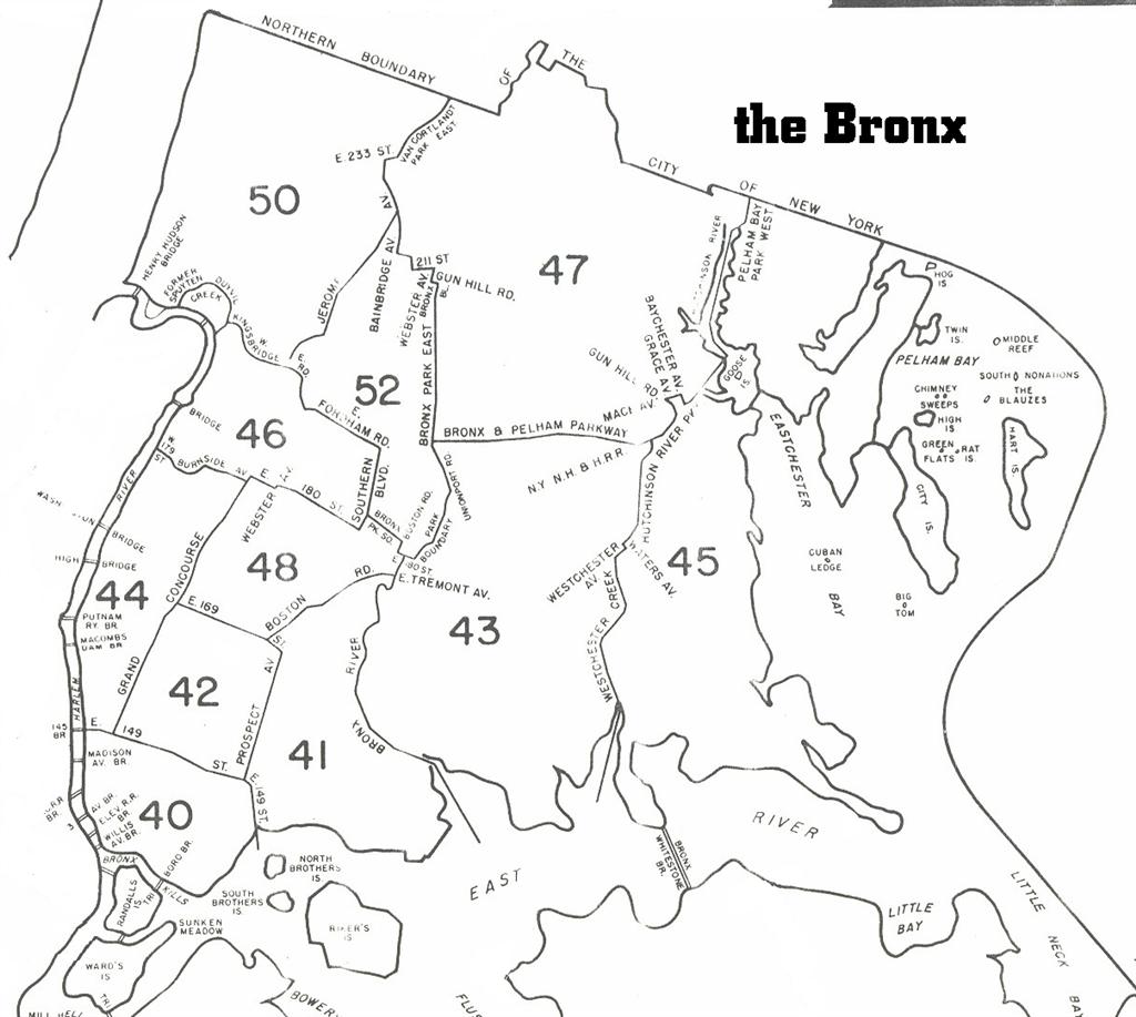
Public mapping sources don’t fully agree on the western edge: some draw it at Third Avenue, others at Webster Avenue, a few blocks apart. The New York City Department of City Planning groups the area into Community District 6 alongside Belmont, which is the level most city health and housing data actually report at, so precise block-by-block boundaries matter less for planning purposes than for street-level orientation.
Who Owns, Who Rents, and What “Income-Restricted” Means Here
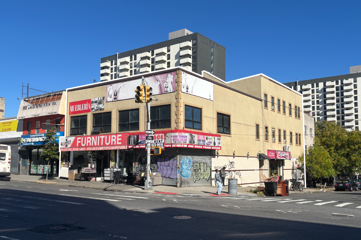
Renter-occupied units make up the large majority of the housing stock, and current vacancy sits at 4.6%, lower than in two-thirds of American neighborhoods, per NeighborhoodScout’s analysis. Most buildings date from 1970 to 1999, with a smaller share built before 1940.
| Housing type | Typical structure | Who it suits | Key constraint |
|---|---|---|---|
| Market-rate rental | 5 to 6-story walk-up or elevator building | Renters wanting no board approval | Least price stability |
| HDFC co-op | Converted prewar rental building | Income-qualified buyers seeking equity | Household income caps and board interview |
| Market-rate co-op | Postwar or converted building | Buyers with conventional financing | Board approval, no income cap |
| New infill construction | Small multi-family or row house | Owner-occupants and small investors | Fewer available units overall |
The HDFC row is the one buyers most often misjudge: these buildings were converted from city-owned or distressed rental stock under state housing law, and resale still carries an income ceiling and mandatory board sign-off, so a low list price doesn’t always mean a straightforward purchase.
What’s an HDFC co-op, and can anyone buy into one?No. HDFC (Housing Development Fund Corporation) co-ops were created to keep formerly distressed buildings affordable, so purchasers must fall under a household income cap set at closing and pass board approval; the unit can’t simply be bought like a market-rate condo.
Getting Around: Named Routes, Not Just “Good Access”
| Mode | Line/route | Nearest stop | Reaches |
|---|---|---|---|
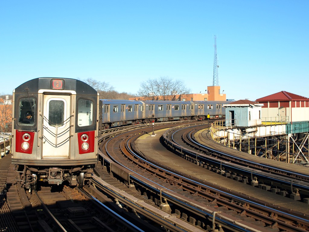
| Subway | 2 and 5 trains (IRT White Plains Road Line) | West Farms Square–East Tremont Avenue | Manhattan’s East Side via express service |
| Commuter rail | Metro-North Harlem Line | Tremont station | Grand Central |
| Local bus | Bx42 | East 180th Street, Tremont, Burnside Avenues | Throggs Neck or Morris Heights |
The stops cluster at the neighborhood’s edges rather than its center, so the walk to a train adds real minutes depending on which block you’re on, a detail flat “excellent transit access” claims tend to skip.
Is there a subway station inside East Tremont itself?No station sits inside the neighborhood’s interior; the nearest is West Farms Square–East Tremont Avenue on the 2 and 5 lines, at the edge, with bus routes covering the interior blocks.
Safety, in the Precinct’s Reported Numbers
| Crime category | 2022 count |
|---|---|
| Murders | 14 |
| Rapes | 26 |
| Robberies | 447 |
| Felony assaults | 646 |
| Burglaries | 252 |
| Grand larcenies | 467 |
Every category above comes from the 48th Precinct’s 2022 reporting as compiled in NYC Health’s Community Health Profile for Belmont and East Tremont. Overall crime across categories dropped 60.9% between 1990 and 2022, yet the neighborhood’s 2018 non-fatal assault rate of 152 per 100,000 still ran higher than the citywide figure.
Is East Tremont safe to live in?Overall crime has fallen sharply since 1990, but 2018 assault rates still exceeded the citywide average, so the honest answer depends on which year’s data a source is quoting.
Income and Poverty: What the Community-District Number Actually Covers
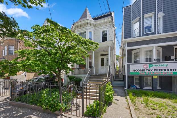
The often-cited $25,972 median household income figure covers Community Districts 3 and 6 together, an area spanning Crotona Park East and Morrisania alongside Belmont and East Tremont, not East Tremont alone. At the CD6 level, 31% of residents lived in poverty in 2018 against 25% for the Bronx and 20% citywide, and 16% were unemployed against 13% and 9% respectively, per the same NYC Health profile. Rent burden, the share of residents struggling to pay rent, sat at 60% here versus 51% citywide.
Why do income figures for this neighborhood vary so much between sites?Most published figures are reported at the Community District 6 level, which bundles East Tremont with Belmont, so they describe a wider area than the neighborhood alone.
From Farmland to Fault Line
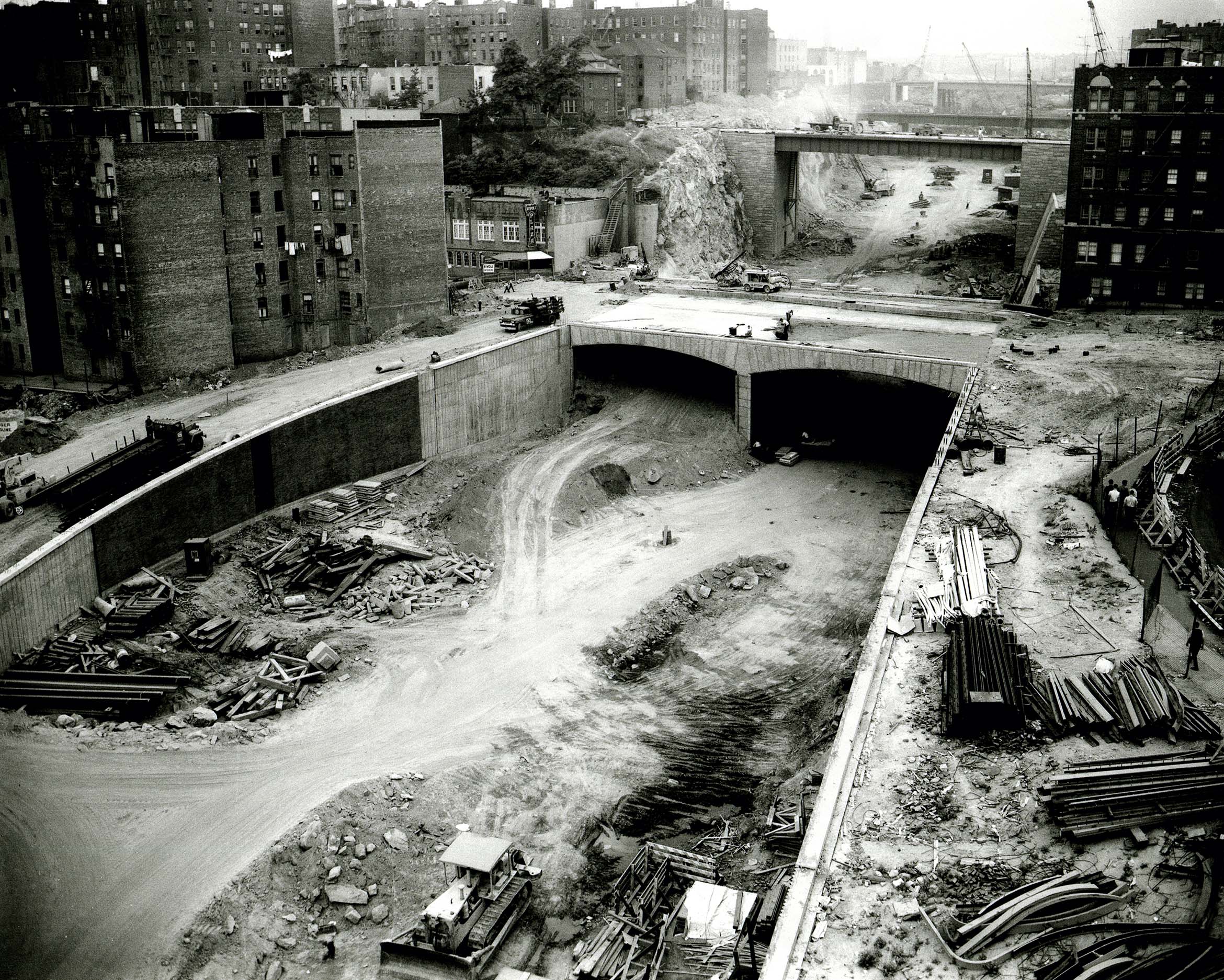
The land was once part of the Lorillard family’s tobacco holdings before New York City annexed the area in 1874. By the 1880s, speculative builders were putting up frame houses and tenements for German and Irish factory workers, and by the 1900 to 1940 period, five- and six-story brick apartment buildings had replaced most of the wooden stock, drawing Jewish, Italian, and Irish families north from the Lower East Side. Density peaked at roughly 441 people per residential acre in 1950, compared with about 45 per acre citywide today and 114 in Manhattan, according to Rob Stephenson’s neighborhood history, which draws on Robert Caro’s account in “The Power Broker.”
M. & C. Uhly Delicatessen operated at 749 East Tremont Avenue in 1902, one of the bakeries and butcher shops that lined the corridor before the Cross Bronx Expressway’s central section opened in 1960 and demolished hundreds of buildings along its path, splitting the neighborhood from Morrisania to its south.
Why is so much of the prewar housing gone?The Cross Bronx Expressway’s construction through the neighborhood’s southern edge, completed in 1960, demolished hundreds of buildings directly and displaced residents who had no comparable housing to move into nearby.
Crotona Park, just south, holds 20 tennis courts, a 3.3-acre lake, and the largest outdoor pool in the Bronx, while the smaller Walter Gladwin Park adds a baseball diamond and play structures on 15 acres.
Comments