
What the 95531 ZIP code covers
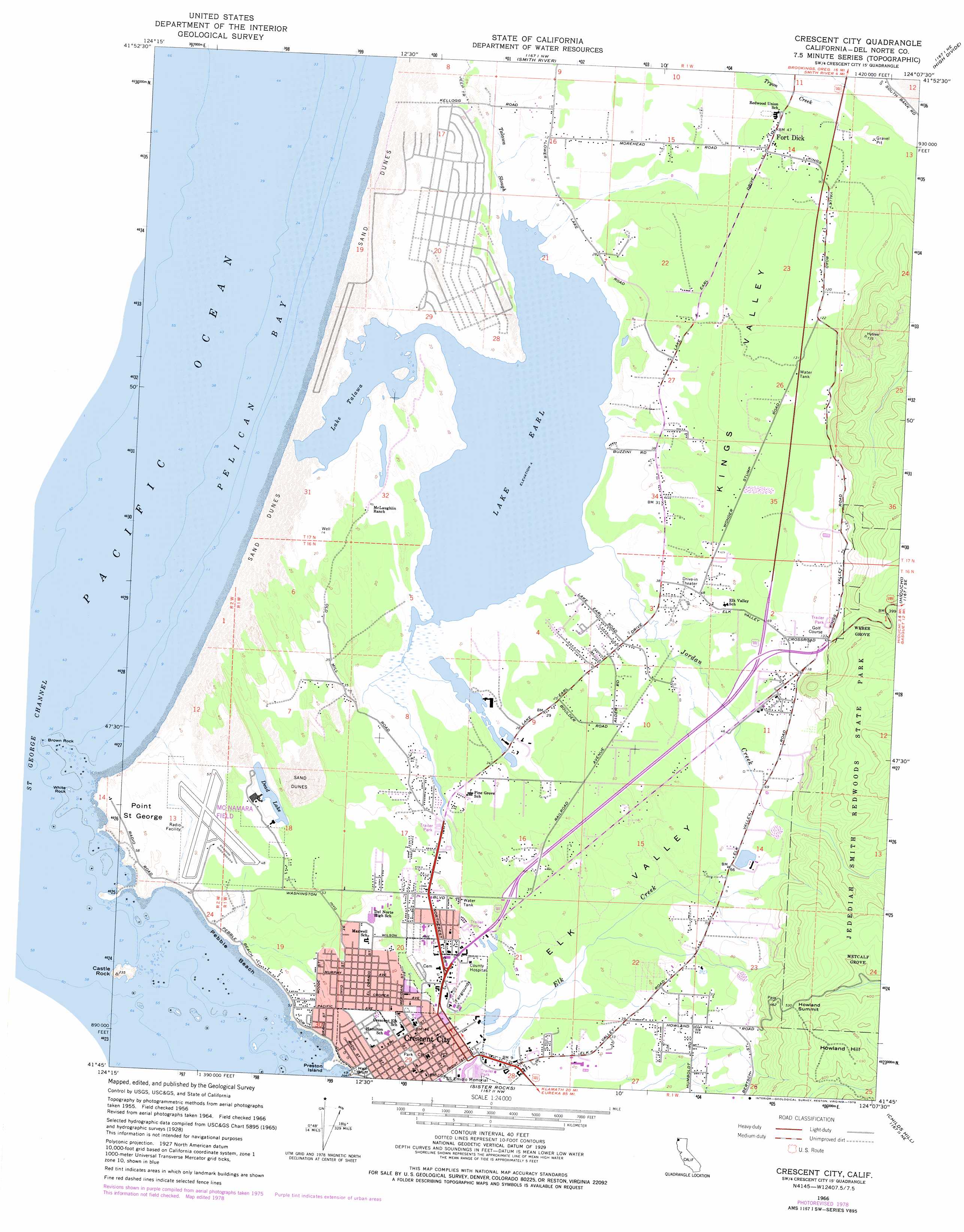
The 2020 Census counted 6,673 people within Crescent City’s boundary; the Census Bureau’s more recent five-year estimate puts it at 6,046. What almost nothing written about living in Crescent City mentions: 42.3% of that city population is institutionalized, per the 2020 Census, almost entirely because Pelican Bay State Prison sits inside the city limits, physically detached and about ten miles from downtown. The prison currently holds roughly 2,054 incarcerated people across 275 acres, per the California Department of Corrections and Rehabilitation, and sits about 13 miles from the Oregon border.
That single fact reshapes every per-capita statistic on this page. Income, poverty, and crime rates all get calculated against a denominator that includes thousands of people who are not part of the local housing or labor market.
Does 95531 include Pelican Bay State Prison?
Yes. The prison sits inside Crescent City’s city limits (95531), though it is geographically separate from downtown by about ten miles. Its incarcerated population is counted in the Census figures used to calculate the city’s per-capita statistics.
Housing and real estate: reconciling three numbers
Three legitimate data providers give three different median-home-price figures for Crescent City right now, and the reason is that they measure three different things.
| Geography / metric | Value | Period | YoY change | Source |
|---|---|---|---|---|
| City of Crescent City, median sale price | $274,836 | May 2026 | -8.4% | Redfin |
| ZIP 95531, median sale price | $405,000 | 3 mo. ending May 2026 | +6.7% | Redfin |
| City of Crescent City, Zillow Home Value Index | $354,545 | June 2026 | -1.0% | Zillow |
| New listings, median list price | $339,000 | June 2026 | – | Redfin |
The city figure and the ZIP figure diverge because the boundaries don’t match, and a handful of higher-value sales inside the ZIP but outside the tightest city-limit sample can swing a small-market median by six figures in a single month. The Zillow figure is a smoothed valuation index across all homes, not a median of actual closings, so it moves less because it tracks something different by design.
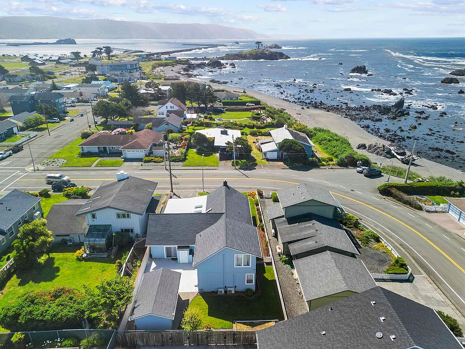
For texture: one active listing at 841 Cooper Ave, per Redfin, is a 3-bedroom, 2-bath, 1,438-square-foot house within a mile of the marina, the farmers market, and South Beach – the kind of property that lands near the city-level median rather than the ZIP-level one.
Why do three sources give three different median home prices for Crescent City?
Because they measure different boundaries (city limits vs. the 95531 ZIP) and different metrics (a median of actual sales vs. a smoothed valuation index), not because one of them is wrong.
Cost of living beyond housing
No reliable, Del Norte-specific government index for groceries or utilities exists; that gap is real, and no figure is invented to fill it here. What is documented: California’s statewide average gas price runs well above the national average, driven by state fuel-blend and tax requirements rather than anything specific to this county. Crescent City’s distance from major distribution centers, detailed in the access table below, means freight costs plausibly add a premium to everyday goods, though that premium isn’t independently quantified at the county level in any source available for this page.
Safety and crime, by the numbers

| Offense category | 2024 count | Rate per 100,000 | National rate per 100,000 |
|---|---|---|---|
| Violent crime | 74 | 1,386 | 359 |
| Property crime | 345 | 6,462 | 1,760 |
| Total reported offenses | 419 | 7,848 | 2,119 |
Data per the FBI Crime Data Explorer, 2024. Crescent City reported zero murders in 2024. The elevated overall rate is carried almost entirely by property crime – burglary, theft, and vehicle theft – rather than violent offenses against people.
Is Crescent City safe to live in?
Violent crime is low by the measure that matters most for personal safety: zero homicides in 2024. Property crime runs well above the national rate, calling for standard theft precautions rather than personal-safety concern.
Jobs, income, and unemployment

Del Norte County’s unemployment rate was 5.6% in May 2026, not seasonally adjusted, according to the Bureau of Labor Statistics, against a California rate of 5.3% seasonally adjusted the same month. Median household income in Crescent City is $35,540, about half the wider Del Norte micro-area figure of $67,058, and well under half the national $80,734. Per-capita income sits at $17,501. This reflects a small, geographically isolated local economy rather than a cyclical downturn.
Climate
Wet-season concentration defines the climate here more than any single “mild and coastal” description. National Weather Service normals for the Eureka forecast office show 33.17 inches of precipitation typically fallen by July 1 each year, and 56.20 inches typically fallen between the previous October 1 and that same July 1.
Getting anywhere else: commute and access
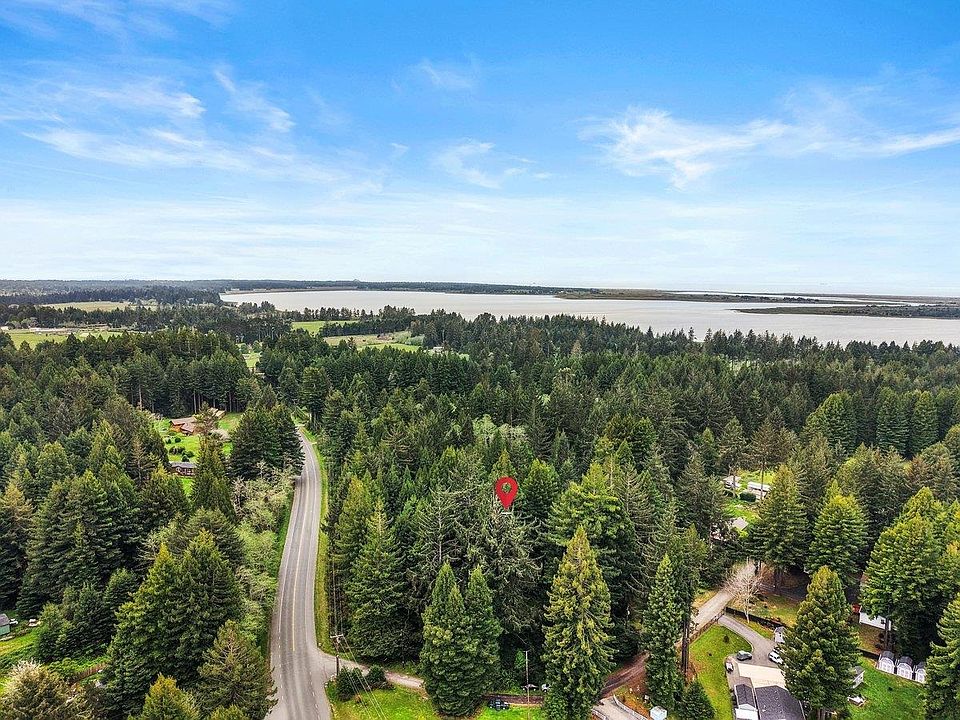
| Destination | Distance | Mode / time | Note |
|---|---|---|---|
| Eureka–Arcata (Humboldt Bay) | 84 road miles | ~1h38m drive | Nearest metro-scale job market outside the county |
| Oregon state line | ~13 miles | Short drive north on US-101 | Per Pelican Bay’s stated location |
| Oakland (OAK) | Non-stop by air | Daily Essential Air Service flight | Advanced Air, not a multi-destination service |
Del Norte County Regional Airport currently offers one daily scheduled route, to Oakland, operated by Advanced Air under the federal Essential Air Service program, per the airport authority. Anyone relocating for work that requires regular travel to a larger hub should plan around a single daily flight.
What’s the nearest place with more job options?
The Eureka–Arcata area (Humboldt Bay), about 84 road miles and roughly 1 hour 40 minutes south on US-101.
Risk factors that affect what you’ll pay
| Hazard | Historical marker | Practical implication |
|---|---|---|
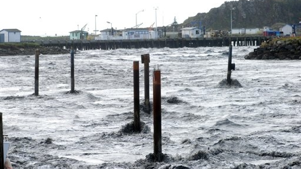
| Tsunami | March 1964: 13 California deaths and over $160 million (2022 dollars) in statewide damage from a M9.2 Alaska earthquake; locally, 11 deaths and 29 city blocks destroyed | Affects insurability and resale disclosure practice |
| Flood (FEMA Special Flood Hazard Area) | A distinct designation from tsunami zones | Federally backed mortgages require flood insurance if the parcel sits in a mapped SFHA |
| Wildfire | – | Redfin’s hazard data shows under 1% of local properties face projected 30-year wildfire risk |
Statewide tsunami figures per the California Geological Survey; local death and damage counts per the Del Norte County Historical Society. Tide-gauge records show the first surge reached 14.5 feet above the prior tide level, peaking at 11:50 p.m. on March 27, 1964, according to the Redwood Coast Tsunami Work Group at Cal Poly Humboldt.
Insurance and lending implications
Two different rules apply here, and conflating them is a common and expensive mistake. Flood insurance for a Special Flood Hazard Area is a federal legal requirement the moment a federally backed mortgage is involved, per the Office of the Comptroller of the Currency – no lender discretion, no exceptions for a clean claims history. Tsunami-inundation-zone status is not one of the six hazard categories California law requires on the statutory Natural Hazard Disclosure Statement, per disclosure-industry guidance, but many disclosure providers include it because a reasonable buyer would consider it material. Ask specifically whether a tsunami-zone check was performed.
Do I need tsunami insurance to get a mortgage here?
Not by federal law – tsunami zones aren’t a mandated disclosure category in California. Flood insurance is legally required if the property sits in a FEMA Special Flood Hazard Area and the mortgage is federally backed; ask your lender and disclosure provider about both separately.
Who Crescent City fits
The numbers point toward a fairly specific fit. Retirees and remote workers with income that isn’t tied to a local employer can absorb the ZIP-level price, tolerate 84 miles of distance to the nearest larger job market, and treat one daily flight as sufficient. Someone chasing local wage growth or a deep corporate job market is working against a smaller, more isolated economy than most of coastal California offers. Buyers comfortable with standard theft precautions but wary of any wildfire exposure will find an unusually favorable trade: low fire risk paired with real tsunami and flood exposure instead. Anyone requiring frequent multi-destination air travel should treat the single daily Oakland flight as a hard constraint.
Comments