
The town and the ZIP are two different places

The Town of Cameron had 244 residents at the 2020 Census. ZIP 28326, the postal delivery area most sites mean when they say “Cameron, NC,” covers roughly 26,061 people, because it extends well past the town’s 1.2-square-mile limits into unincorporated Moore and Harnett County land. A buyer comparing school ratings, crime figures, or demographic tables across sites needs to check which of these two geographies the source is actually describing.
What homes actually cost, and why the number moves depending on the source
| Source | Figure | What it measures | As-of |
|---|---|---|---|
| RealtyTrac | $328,501 median | 12-month rolling sales, ZIP 28326, all property types | Current snapshot, 2026 |
| Redfin | $353,000 median | Single most recent month’s closed sales, ZIP 28326 | April 2025 |
| Redfin | $162/sq ft | Median sale price per square foot | April 2025, up 4.5% year over year |
| U.S. Census Bureau (ACS 5-year) | $267,400 | Owner-reported home value, not a sale price | 2024 estimate |
The RealtyTrac and Redfin figures track actual closings and sit within about 8% of each other given the roughly one-year gap between them. The ACS figure runs lower because it’s a homeowner-estimated value averaged across five years of survey responses, lagging a market that has been rising. The town’s own population count carries the same lag problem: the 2020 Decennial Census puts Cameron at 244 residents, while the Bureau’s 2019–2023 American Community Survey estimate for the same place lists 364, a 49% swing that reflects the wide margin of error ACS carries for populations this small.
Two school districts sit inside one ZIP code
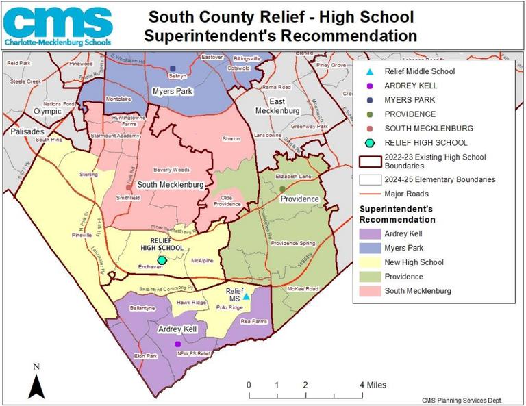
Addresses that share the same “Cameron, NC 28326” line can be zoned to two entirely separate school systems, because the ZIP’s delivery area straddles the Moore/Harnett county line.
| School | Address | District | Enrollment | Note |
|---|---|---|---|---|
| Cameron Elementary | 2636 NC Hwy 24/27, Cameron, NC 28326 | Moore County Schools | 216 students | Grades K–5 |
| New Century Middle | 1577 Union Church Rd, Cameron, NC 28326 | Moore County Schools | – | Middle grades |
| Johnsonville Elementary | 18495 NC Hwy 27 West, Cameron, NC 28326 | Harnett County Schools | 471 students | 31% math / 34% reading proficiency, vs. NC averages of 51%/50% (U.S. News) |
The district a given address falls into isn’t predictable from the ZIP code or the city name on the mailing address alone; it depends on the parcel’s county line, which the county’s own locator tools resolve address by address.
Which school district will my Cameron, NC 28326 address be in?
It depends on which side of the Moore/Harnett county line the parcel sits on. Addresses on the Moore County side feed Cameron Elementary and New Century Middle; addresses on the Harnett County side, including at least one street directly in Cameron, feed Johnsonville Elementary. Confirm with the relevant county’s school locator before treating either district’s ratings as settled for a specific property.
The commute reality: Fort Bragg, Sanford, Raleigh
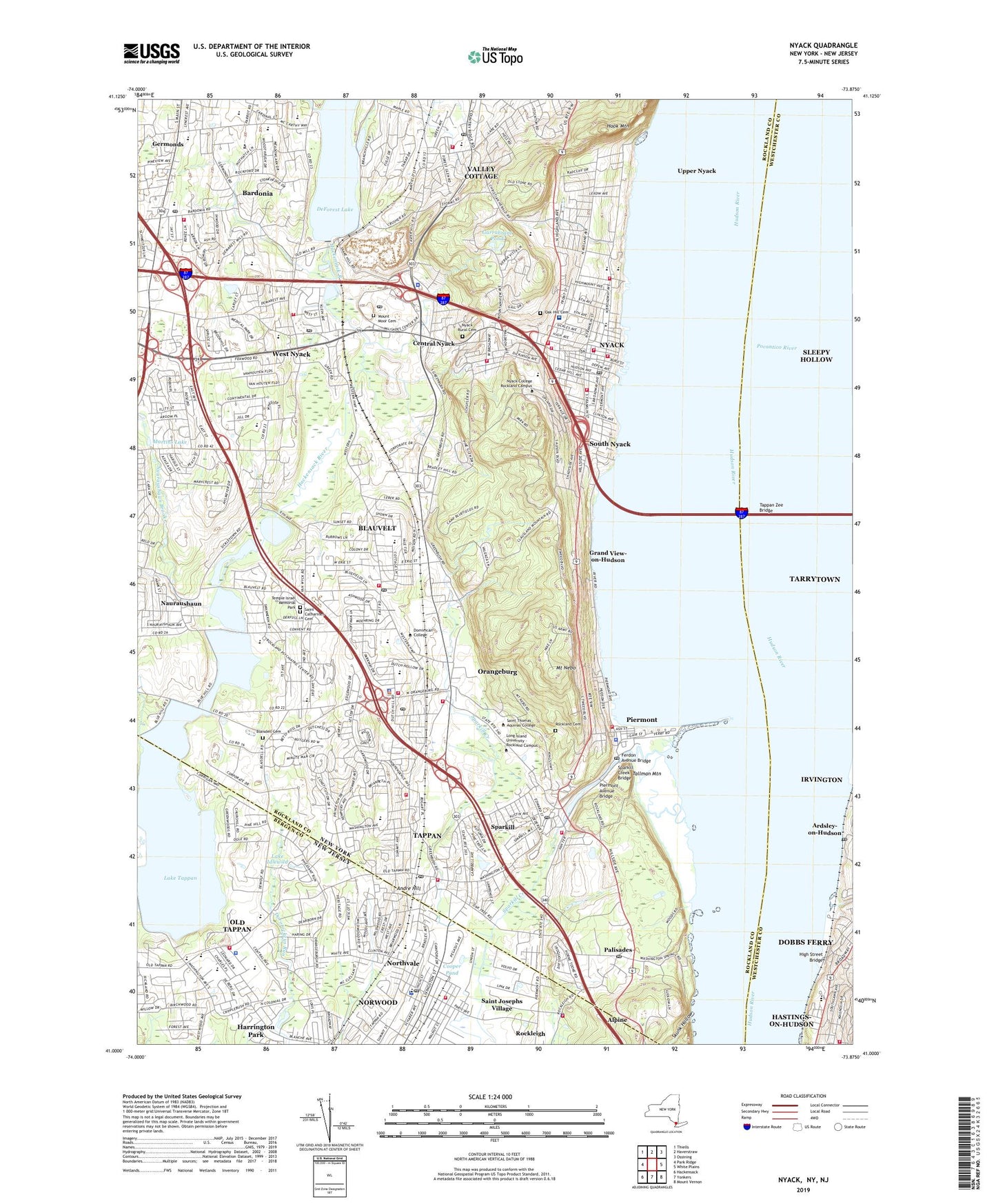
From the town center, NC Highways 24 and 27 run 32 miles southeast to Fayetteville, the city adjoining Fort Bragg, the Army installation renamed from Fort Liberty back to Fort Bragg effective February 14, 2025. US Route 1 runs 12 miles northeast to Sanford and 15 miles southwest to Southern Pines; Vass sits 6 miles south. This is a rural highway commute of 30 or more miles to the nearest employment centers, longer than the short in-town trip some listings imply.
Is Cameron, NC part of Fort Bragg’s commuter zone?
Many residents do commute there, but it’s a highway drive, not a short local trip: Fayetteville, which adjoins Fort Bragg, sits roughly 32 miles southeast of Cameron via NC 24/27.
Market conditions: days on market and what they mean for negotiating leverage
Homes in ZIP 28326 sold in a median of 71 days as of the most recent month reported, more than double the 30 days recorded a year earlier, per Redfin. Combined with 82 homes sold that month against 83 the year before, the slowdown gives buyers a modestly stronger negotiating position than a year ago, even as the 6.8% year-over-year price gain over the same period still favors sellers on price itself.
Is 28326 a buyer’s or seller’s market right now?
Prices are still rising year over year (+6.8%), but time on market has more than doubled to 71 days, pointing toward a market shifting from strongly seller-favored to more balanced, with buyers gaining room on days-on-market and contingencies even as price trend still favors sellers.
For investors: foreclosure and distressed-sale activity
| Category | Count | Share of 562 tracked properties |
|---|---|---|
| Active foreclosure | 12 | ~2.1% |
| Pre-foreclosure | 8 | ~1.4% |
| Scheduled for auction | 4 | ~0.7% |
| Active listings | 462 | ~82.2% |
| Recently sold | 76 | ~13.5% |
Distressed-property activity is low in absolute count for an investor screening this ZIP: roughly one in every 47 tracked properties sits somewhere in the foreclosure pipeline, a combined distress rate near 3.6%. Fayetteville, roughly 32 miles from Cameron, is the nearest major courthouse-steps auction market for tracking this pipeline further. Source: RealtyTrac.
How much foreclosure activity is there in 28326?
Twelve properties are in active foreclosure and eight more in pre-foreclosure, out of 562 tracked properties, a combined distress rate of roughly 3.6%, with four additional properties scheduled for auction.
Long-term ownership risk: flood, wildfire, wind, and heat
| Hazard | Share at risk (30-yr outlook) | Risk level | Properties affected |
|---|---|---|---|
| Flood | 6% | Minor | 540 |
| Wildfire | 99% | Major | 10,415 |
| Severe wind | 98% | Major | 10,313 |
| Severe heat | 56% | Severe | – |
The 99% wildfire figure looks alarming for a Piedmont town with no recent fire history, but the underlying model, described in First Street’s Fire Factor methodology, measures probabilistic exposure over three decades based on vegetation, weather, and terrain, and is not a prediction that a given property will burn. North Carolina overall carries the largest wildland-urban-interface acreage of any U.S. state, a documented statewide pattern described in peer-reviewed research on North Carolina wildfire exposure, so a high score is common across the state’s rural pine country generally.
Severe weather is the more immediate documented history locally: an F3 tornado struck roughly 22.5 miles from the town center on April 16, 2011, killing two people, injuring 176, and causing $141 million in damage, part of the same severe-storm pattern behind the wind-risk figures above. Data source for hazard percentages: Redfin, citing First Street.
None of these four hazard scores currently move standard homeowners’ insurance pricing the way a FEMA flood-zone designation does; treat a First Street report for a specific 28326 address as a due-diligence input to request alongside an actual insurance quote before closing.
Comments