
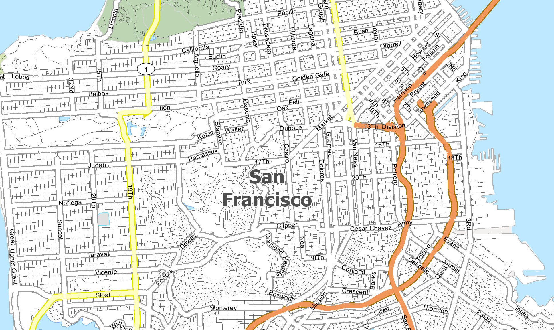
| Segment | Cross streets | Neighborhood | Transit | Notable feature |
|---|---|---|---|---|
| Financial District | Drumm to Kearny | Financial District | Cable car + bus | Tadich Grill, 555 California |
| Chinatown / Nob Hill | Kearny to Polk | Chinatown, Nob Hill | Cable car + bus | Grace Cathedral’s two labyrinths |
| Polk Gulch to Van Ness | Polk to Van Ness | Polk Gulch | Cable car ends here + bus | Cable car’s current western terminus |
| Lower Pacific Heights / Laurel Heights | Van Ness to Presidio Ave | Pacific Heights, Laurel Heights | Bus only | Mostly residential, few landmarks |
| Inner Richmond | Arguello to ~20th Ave | Inner Richmond | Bus only | High-Injury Network road-diet segment |
| Outer Richmond | ~20th Ave to 32nd Ave | Outer Richmond | Bus only | Quiet, residential, fog belt |
| Ocean Beach / Lincoln Park terminus | Past 32nd Ave | Lincoln Park | Bus, short walk | Dead-end terminus near the Pacific |
The table’s own shape settles one thing text alone can’t: transit coverage flips from “cable car” to “bus only” almost exactly at the street’s midpoint, which is the single fact most tourism content on this street omits.
Financial District: Drumm Street to Kearny Street
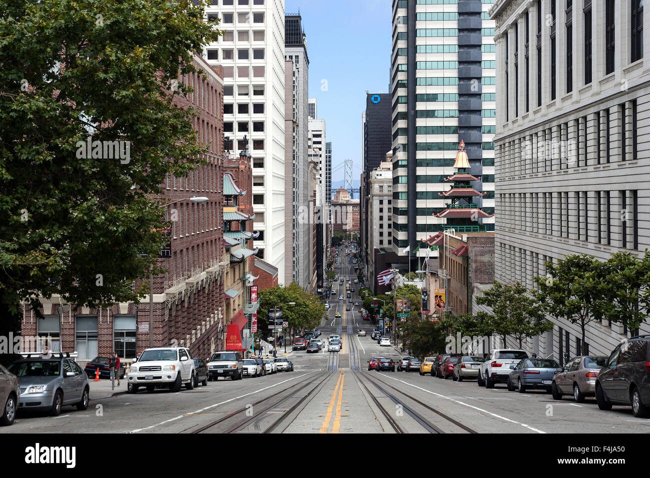
This end of the street sits one block from the Ferry Building, among the Financial District’s office towers. The corner of California and Drumm is also where the cable car line begins, and where a city-backed redesign has been proposed to replace what officials currently describe as a plain, uninviting turnaround with a plaza and interpretive signage.
Two blocks in, at 240 California Street, sits Tadich Grill, which traces its founding to 1849, when three Croatian immigrants ran a coffee-and-grilled-fish stand on Long Wharf. The restaurant moved to its present address in 1967. Current posted hours run Monday through Friday, 11 a.m. to 9 p.m., Saturday evening only, and the restaurant is closed Sundays, so a lunchtime Sunday stop here is a common planning mistake.
Further along, 555 California Street is a 52-story, 779-foot tower completed in 1969, long known as the Bank of America Center. Vornado Realty Trust holds a 70 percent stake, with a 30 percent stake held by the Trump Organization, and Vornado’s chief executive said in August 2025 that the building could go up for sale for the right price. That ownership detail, current as of this writing, is worth more to a searcher checking the address than the building’s height alone.
Chinatown and Nob Hill: Kearny Street to Polk Street
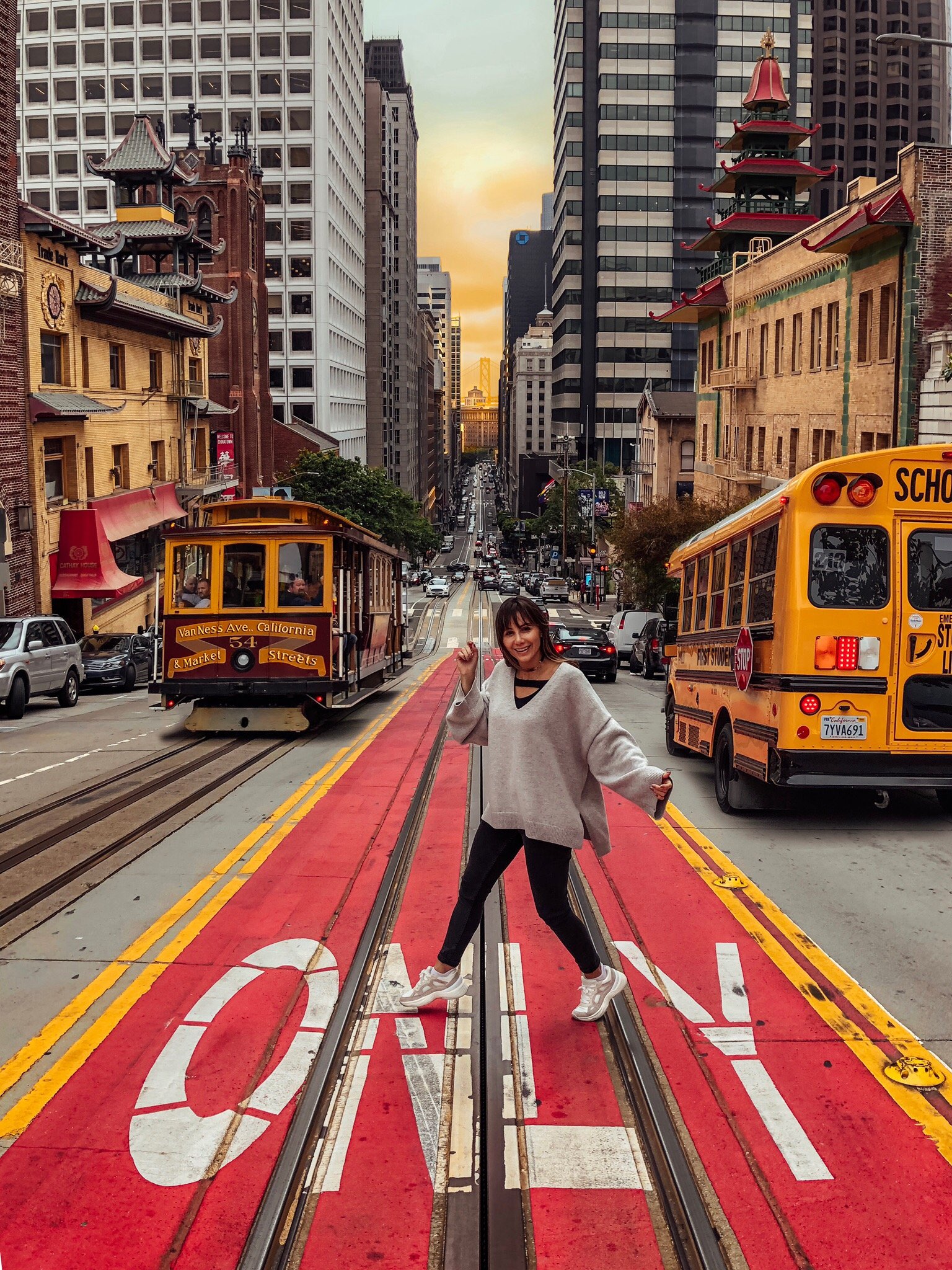
California Street cuts through Chinatown’s eastern edge before climbing Nob Hill, San Francisco’s densest concentration of Gilded Age wealth. Mining and railroad fortunes built mansions here in the 1870s and 1880s; most burned in 1906, and their replacements, the Fairmont and Mark Hopkins hotels among them, define the hill’s skyline now.
What’s there today
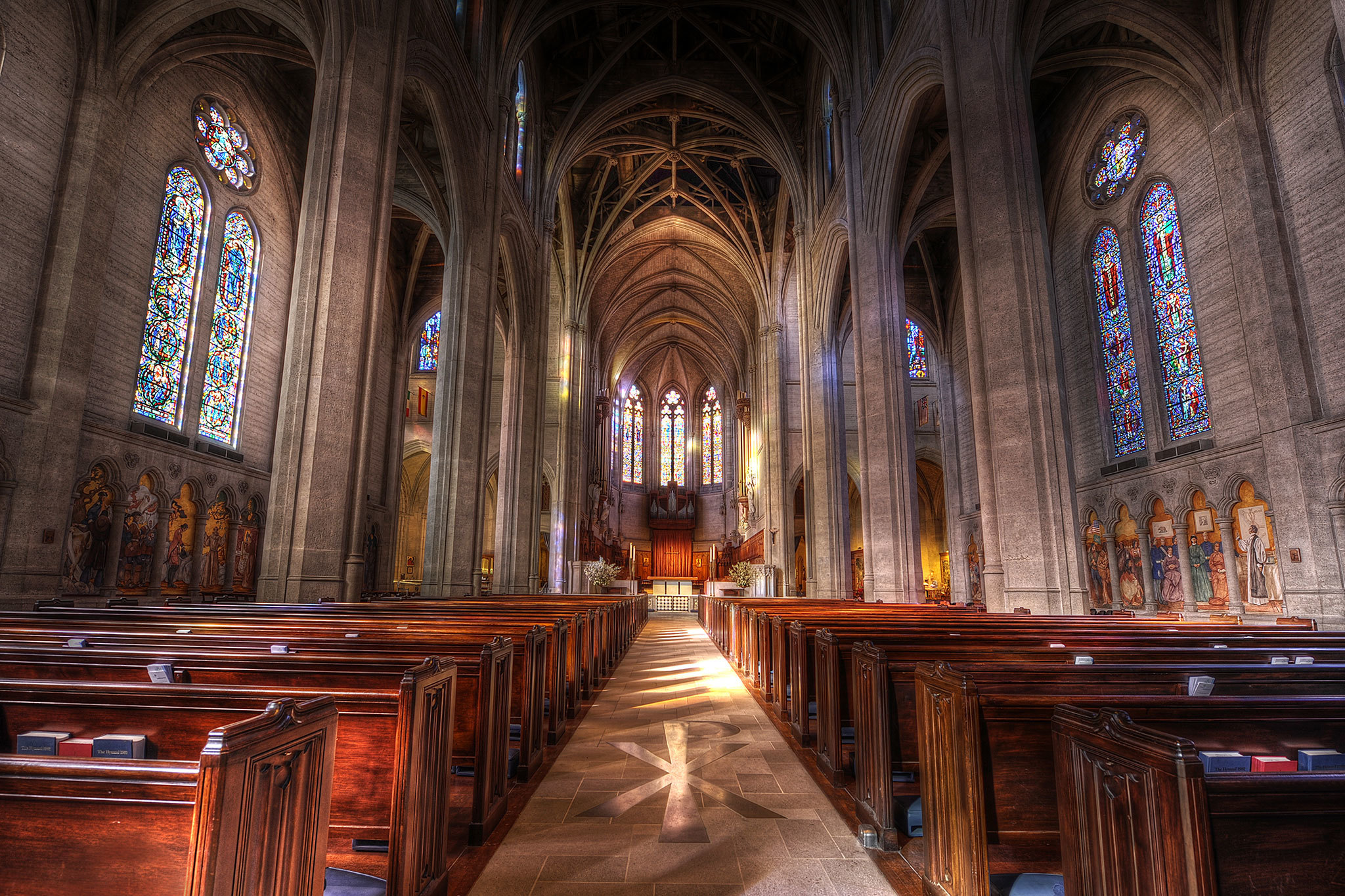
Grace Cathedral, at California and Taylor, has two labyrinths modeled on the medieval design at Chartres Cathedral in France: an indoor one open only during cathedral visitor hours, and an outdoor one in the courtyard open around the clock. That distinction is the difference between a locked door and an open gate for anyone arriving outside normal hours.
What’s the oldest thing still standing on California Street? Among named businesses, Tadich Grill’s 1849 founding predates California statehood by a year, though its building and address date only to 1967. For a structure that has occupied the same spot since before it, the Nob Hill hotels rebuilt immediately after 1906 are the closer answer.
Getting Around: Cable Car vs. 1-California Bus
The single biggest planning mistake for this street is assuming the cable car covers it. It doesn’t.
Does the cable car go the whole length of the street? No. The California line runs only from Market Street to Van Ness Avenue, about the eastern quarter of the route. From Polk Gulch through the Richmond District to Ocean Beach, the 1-California bus is the only Muni option that covers the ground.
| Factor | Cable Car (California line) | 1-California Bus |
|---|---|---|
| Coverage of the street | Market St. to Van Ness Ave. only | Full route, Drumm St. to the Outer Richmond |
| Fare | $9.00 single ride; $4.00 senior/disabled off-peak | $3.00 cash, $2.85 with Clipper |
| Hours | Roughly 7 a.m. to 11 p.m. daily | 5 a.m. to midnight daily |
| Ridership | Built for tourist volume; long boarding lines common | Close to 20,000 riders a day; a designated Frequent Bus route |
| Best for | The Nob Hill postcard segment, a one-time ride | Getting anywhere on the street west of Van Ness |
Fare alone answers the question most visitors actually have: three one-way bus rides cost less than a single cable car ride, and only the bus reaches three-quarters of the street.
That coverage gap isn’t an accident; it’s a dated decision with a paper trail. Cable service once ran the full original route, from Presidio Avenue all the way to Market Street. In 1953, a ballot measure to fund rebuilding the western stretch of track failed amid a citywide transit budget crunch, and the following year, San Francisco shut down cable service west of Van Ness rather than pay to rebuild it. Advocates have periodically proposed restoring the original length; nothing has moved forward since.
Polk Gulch to Laurel Heights
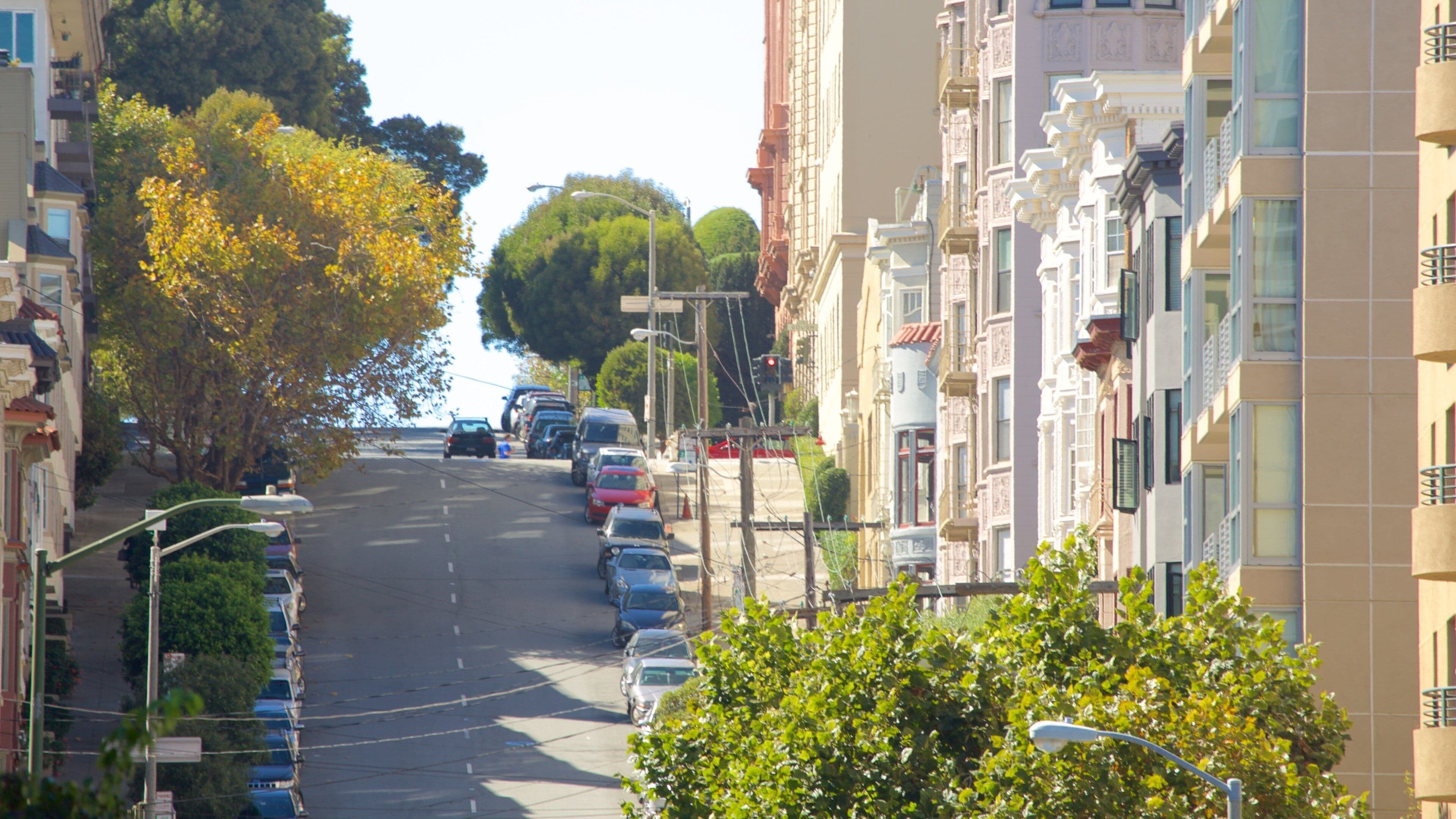
This middle stretch is where every competing guide thins out, and for good reason: it is mostly residential apartment buildings and small commercial corners, without a single landmark that changes a visitor’s plans. Polk Gulch, at the eastern edge of this stretch, carries real LGBTQ history, though most of it sits on Polk Street itself rather than on California Street.
Inner and Outer Richmond
Past Laurel Heights, California Street runs through the Richmond District, parallel to the Presidio’s southern edge. The Inner Richmond carries denser retail; the Outer Richmond, closer to the ocean, is quieter and residential.
Is the west end of California Street worth visiting? For cable car photographs, no; there isn’t one out here. For a genuinely residential, fog-belt slice of San Francisco with real neighborhood businesses and far fewer tourists, yes, and the 1-California bus makes it reachable without a car.
This stretch also carries safety data most tourism content skips entirely. California Street is part of San Francisco’s Vision Zero High-Injury Network, and the segment between Arguello Boulevard and Park Presidio Boulevard was rebuilt from four traffic lanes to three specifically to cut collisions. That’s exactly the western section most guides never reach.
Ocean Beach and Lincoln Park Terminus
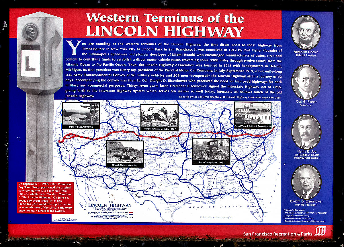
California Street ends at Lincoln Park, near 32nd Avenue, a few minutes’ walk from the Pacific shoreline. No sign marks the terminus; the pavement simply stops.
Comments